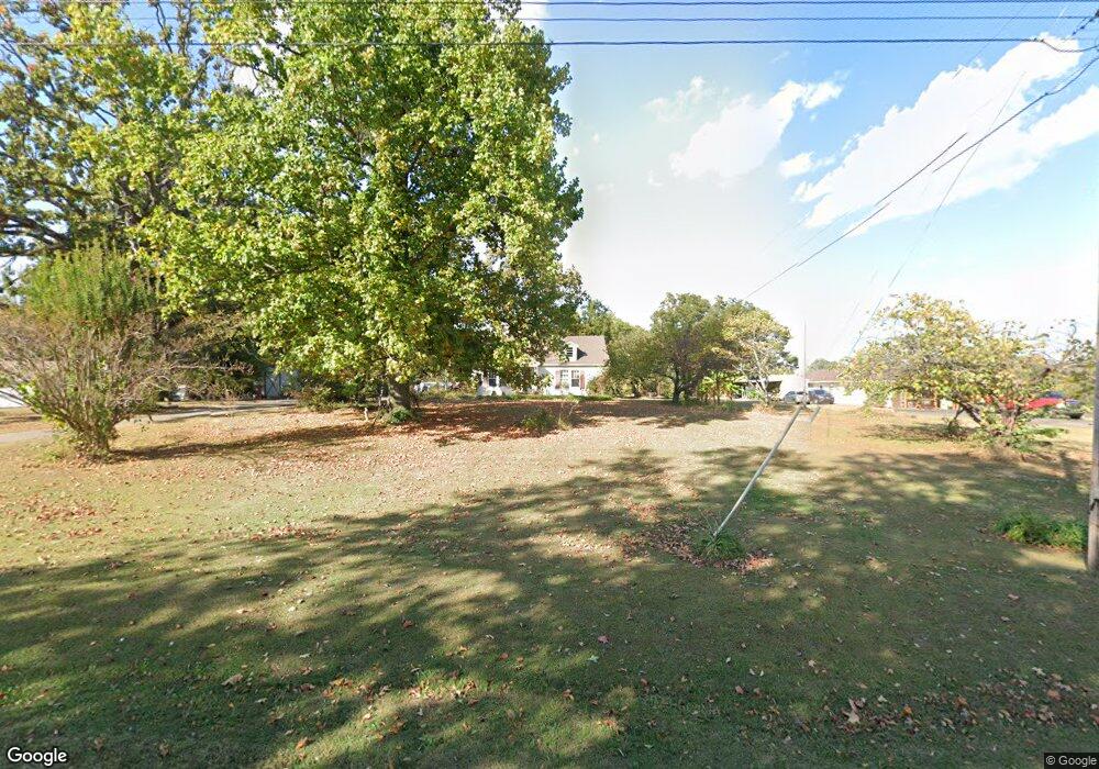
256 Morris Rd Covington, TN 38019
Estimated Value: $173,757 - $232,000
Studio
1
Bath
1,560
Sq Ft
$129/Sq Ft
Est. Value
About This Home
This home is located at 256 Morris Rd, Covington, TN 38019 and is currently estimated at $200,689, approximately $128 per square foot. 256 Morris Rd is a home located in Tipton County with nearby schools including Crestview Elementary School, Crestview Middle School, and Covington High School.
Ownership History
Date
Name
Owned For
Owner Type
Purchase Details
Closed on
Oct 15, 2004
Sold by
Mcdowell Judy S
Bought by
Mcdowell Ernest A
Current Estimated Value
Purchase Details
Closed on
Mar 17, 1997
Sold by
First State Bank
Bought by
Mcdowell Ernest A
Purchase Details
Closed on
Dec 16, 1996
Sold by
Monica Pride
Bought by
First State Bank
Purchase Details
Closed on
Jan 31, 1992
Bought by
Pride Monica
Purchase Details
Closed on
Jul 29, 1991
Bought by
First State Bank
Purchase Details
Closed on
Jan 18, 1980
Bought by
Lemley Woodrow and Lemley Mable
Purchase Details
Closed on
Aug 22, 1978
Create a Home Valuation Report for This Property
The Home Valuation Report is an in-depth analysis detailing your home's value as well as a comparison with similar homes in the area
Purchase History
| Date | Buyer | Sale Price | Title Company |
|---|---|---|---|
| Mcdowell Ernest A | -- | -- | |
| Mcdowell Ernest A | $64,000 | -- | |
| First State Bank | $59,663 | -- | |
| Pride Monica | $44,500 | -- | |
| First State Bank | $44,500 | -- | |
| Lemley Woodrow | -- | -- | |
| -- | -- | -- |
Source: Public Records
Tax History
| Year | Tax Paid | Tax Assessment Tax Assessment Total Assessment is a certain percentage of the fair market value that is determined by local assessors to be the total taxable value of land and additions on the property. | Land | Improvement |
|---|---|---|---|---|
| 2025 | $455 | $29,900 | $8,200 | $21,700 |
| 2024 | $455 | $29,900 | $8,200 | $21,700 |
| 2023 | $455 | $29,900 | $8,200 | $21,700 |
| 2022 | $431 | $21,125 | $6,025 | $15,100 |
| 2021 | $431 | $21,125 | $6,025 | $15,100 |
| 2020 | $431 | $21,125 | $6,025 | $15,100 |
| 2019 | $411 | $17,000 | $5,300 | $11,700 |
| 2018 | $411 | $17,000 | $5,300 | $11,700 |
| 2017 | $411 | $17,000 | $5,300 | $11,700 |
| 2016 | $411 | $17,000 | $5,300 | $11,700 |
| 2015 | $411 | $17,000 | $5,300 | $11,700 |
| 2014 | $411 | $16,997 | $0 | $0 |
Source: Public Records
Map
Nearby Homes
- 527 Sunnyside Rd
- 605 Junior Dr
- 358 Phillips Rd
- 1467 Hall Rd
- 4501 Mueller Brass Rd Unit B
- 375 Mueller Brass Rd
- 0 Mueller Brass Rd
- 225 Brierhedge Rd
- 527 Fairway Dr
- 43 Hastings Way
- 0 Hwy 179 Hwy Unit 10209247
- 0 Oil Mill Rd Unit 10212149
- 52 Stacey Ln
- 0 Brighton Clopton Rd Unit RTC3120287
- 0 Brighton Clopton Rd Unit 10213201
- 414 Hyde Park Cir
- 1519 Walters St
- 2939 Brighton-Clopton Rd
- 502 James Ave
- 65 Woodshire Ln
