Estimated Value: $632,680
--
Bed
--
Bath
13,100
Sq Ft
$48/Sq Ft
Est. Value
About This Home
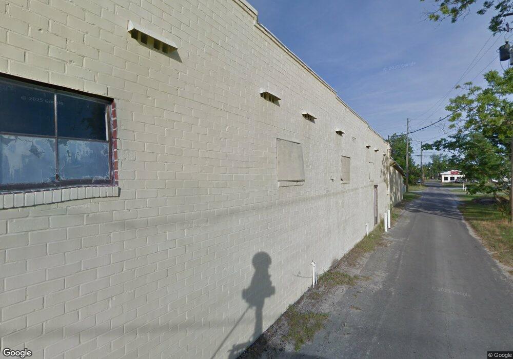
This home is located at 256 N Macon St, Jesup, GA 31545 and is currently priced at $632,680, approximately $48 per square foot. 256 N Macon St is a home located in Wayne County with nearby schools including Martha Rawls Smith Elementary School, Arthur Williams Middle School, and Wayne County High School.
Ownership History
Date
Name
Owned For
Owner Type
Purchase Details
Closed on
Jul 25, 2025
Sold by
Burke Linda R
Bought by
Burke Felton C
Current Estimated Value
Purchase Details
Closed on
Jun 22, 2016
Sold by
Church Gilead Gospel
Bought by
Gilead Ministry Center
Home Financials for this Owner
Home Financials are based on the most recent Mortgage that was taken out on this home.
Original Mortgage
$10,000,000
Interest Rate
3.64%
Purchase Details
Closed on
Jan 1, 2004
Sold by
Garlen Billy Glenn
Bought by
Mccloud William Bernard
Purchase Details
Closed on
Oct 1, 2001
Bought by
Garlen Billy Glenn
Purchase Details
Closed on
Sep 1, 1996
Purchase Details
Closed on
Mar 1, 1970
Purchase Details
Closed on
Mar 1, 1953
Create a Home Valuation Report for This Property
The Home Valuation Report is an in-depth analysis detailing your home's value as well as a comparison with similar homes in the area
Home Values in the Area
Average Home Value in this Area
Purchase History
| Date | Buyer | Sale Price | Title Company |
|---|---|---|---|
| Burke Felton C | -- | -- | |
| Gilead Ministry Center | -- | -- | |
| Mccloud William Bernard | $260,000 | -- | |
| Garlen Billy Glenn | $150,000 | -- | |
| -- | $61,000 | -- | |
| -- | -- | -- | |
| -- | -- | -- |
Source: Public Records
Mortgage History
| Date | Status | Borrower | Loan Amount |
|---|---|---|---|
| Previous Owner | Gilead Ministry Center | $10,000,000 |
Source: Public Records
Tax History Compared to Growth
Tax History
| Year | Tax Paid | Tax Assessment Tax Assessment Total Assessment is a certain percentage of the fair market value that is determined by local assessors to be the total taxable value of land and additions on the property. | Land | Improvement |
|---|---|---|---|---|
| 2024 | $3,929 | $128,469 | $6,700 | $121,769 |
| 2023 | $3,827 | $108,182 | $6,700 | $101,482 |
| 2022 | $3,187 | $90,087 | $14,656 | $75,431 |
| 2021 | $3,187 | $90,087 | $14,656 | $75,431 |
| 2020 | $3,187 | $90,087 | $14,656 | $75,431 |
| 2019 | $3,187 | $90,087 | $14,656 | $75,431 |
| 2018 | $0 | $90,087 | $14,656 | $75,431 |
| 2017 | $3,186 | $90,087 | $14,656 | $75,431 |
| 2016 | -- | $90,088 | $14,656 | $75,431 |
| 2014 | -- | $90,088 | $14,656 | $75,431 |
| 2013 | -- | $90,087 | $14,656 | $75,431 |
Source: Public Records
Map
Nearby Homes
- 196 Pine Ridge Dr
- 0 U S 84
- 00 84 Hwy
- 9474 Us Hwy 301
- 106 Mangrove Ct
- 113 Mangrove Ct
- 197 NW Broad St
- 187 E Pine St
- 207 E Pine St
- 0 N 4th St
- 0 N 4th St Unit 10414401
- 0 Fourth S
- 217 E Pine St
- 217 Pine Ridge Rd
- 229 E Pine St
- 436-441 Brunswick St
- 249 Pine Ridge Rd
- 498 NE Broad St
- 447 NE Broad St
- 356 N 4th St
- 169 Pine Ridge Rd
- 148 W Walnut St
- N N Macon St
- 255 NW Broad St
- 118 Bream Dr
- 192 W Pine St
- 235 W Pine St
- 153 W Walnut St
- 106 W Pine St
- 248 W Walnut St
- 286 NW Broad St
- Lot 16 Hwy 341
- Lot 18 Hwy 341
- Lot 22 Hwy 341
- Lot 24 Hwy 341
- Lot 21 Hwy 341
- Lot 23 Hwy 341
- Lot 20 Hwy 341
- 185 NW Broad St
- 161 N Macon St