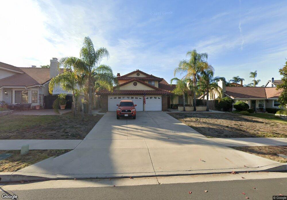
2560 Mangular Ave Corona, CA 92882
South Corona NeighborhoodEstimated Value: $868,000 - $939,000
4
Beds
3
Baths
2,125
Sq Ft
$420/Sq Ft
Est. Value
About This Home
This home is located at 2560 Mangular Ave, Corona, CA 92882 and is currently estimated at $893,355, approximately $420 per square foot. 2560 Mangular Ave is a home located in Riverside County with nearby schools including John Adams Elementary School, Letha Raney Intermediate School, and Corona High School.
Ownership History
Date
Name
Owned For
Owner Type
Purchase Details
Closed on
Aug 26, 1997
Sold by
Montesilla Investments
Bought by
Valentine Timothy P
Current Estimated Value
Home Financials for this Owner
Home Financials are based on the most recent Mortgage that was taken out on this home.
Original Mortgage
$152,000
Outstanding Balance
$21,859
Interest Rate
7.54%
Estimated Equity
$871,496
Create a Home Valuation Report for This Property
The Home Valuation Report is an in-depth analysis detailing your home's value as well as a comparison with similar homes in the area
Home Values in the Area
Average Home Value in this Area
Purchase History
| Date | Buyer | Sale Price | Title Company |
|---|---|---|---|
| Valentine Timothy P | $190,000 | Fidelity Title |
Source: Public Records
Mortgage History
| Date | Status | Borrower | Loan Amount |
|---|---|---|---|
| Open | Valentine Timothy P | $152,000 |
Source: Public Records
Tax History
| Year | Tax Paid | Tax Assessment Tax Assessment Total Assessment is a certain percentage of the fair market value that is determined by local assessors to be the total taxable value of land and additions on the property. | Land | Improvement |
|---|---|---|---|---|
| 2025 | $3,677 | $333,221 | $71,831 | $261,390 |
| 2023 | $3,677 | $320,284 | $69,043 | $251,241 |
| 2022 | $3,561 | $314,005 | $67,690 | $246,315 |
| 2021 | $3,490 | $307,849 | $66,363 | $241,486 |
| 2020 | $3,452 | $304,693 | $65,683 | $239,010 |
| 2019 | $3,373 | $298,720 | $64,396 | $234,324 |
| 2018 | $3,298 | $292,864 | $63,134 | $229,730 |
| 2017 | $3,218 | $287,123 | $61,897 | $225,226 |
| 2016 | $3,186 | $281,494 | $60,684 | $220,810 |
| 2015 | $3,117 | $277,268 | $59,773 | $217,495 |
| 2014 | $3,006 | $271,839 | $58,603 | $213,236 |
Source: Public Records
Map
Nearby Homes
- 2421 Mangular Ave
- 2416 Patriot Way
- 1336 Old Trail Dr
- 2598 Independence Way
- 1370 Stein Way
- 2313 Mesquite Ln
- 1764 Coplen Cir
- 2967 Mangular Ave
- 1461 Deer Hollow Dr
- 2809 Lancaster Ln
- 1278 Old Hickory Rd
- 1278 Millbrook Rd
- 1546 Tilson Cir
- 1720 Sugar Pine Dr
- 2322 Avenida Del Vista
- 1751 Moccasin Trail Cir
- 2242 Rainbow Ridge Dr
- 2672 Condor Cir
- 2812 Via Mazatlan
- 1320 Brentwood Cir Unit B
- 2570 Mangular Ave
- 2550 Mangular Ave
- 2580 Mangular Ave
- 2481 Centennial Way
- 1443 Merganser Cir
- 2465 Centennial Way
- 2495 Centennial Way
- 2561 Mangular Ave
- 2551 Mangular Ave
- 1435 Merganser Cir
- 2451 Centennial Way
- 2571 Mangular Ave
- 2531 Mangular Ave
- 1423 Merganser Cir
- 1405 Merganser Cir
- 2511 Centennial Way
- 2517 Mangular Ave
- 2445 Centennial Way
- 2525 Centennial Way
- 2550 Heritage Dr
Your Personal Tour Guide
Ask me questions while you tour the home.