Estimated Value: $314,000 - $1,211,879
--
Bed
3
Baths
2,488
Sq Ft
$307/Sq Ft
Est. Value
About This Home
This home is located at 2561 Us Highway 84, Dixie, GA 31629 and is currently estimated at $762,940, approximately $306 per square foot. 2561 Us Highway 84 is a home located in Brooks County with nearby schools including Quitman Elementary School and Westbrook School.
Ownership History
Date
Name
Owned For
Owner Type
Purchase Details
Closed on
Aug 31, 2017
Sold by
Pope Thomas M
Bought by
Pope Thomas M and Pope Linda S
Current Estimated Value
Purchase Details
Closed on
Feb 25, 2014
Sold by
Pope Thomas M and Pope Linda S
Bought by
Conservation Use Covenant Recording
Purchase Details
Closed on
Dec 5, 2013
Sold by
Cowart J Charles Jr /Tr
Bought by
Pope Thomas M and Pope Linda S
Purchase Details
Closed on
Jan 9, 2008
Bought by
Conservation Use Covenant Recording
Purchase Details
Closed on
Feb 5, 2007
Sold by
Cowart Catherine H
Bought by
Pope Thomas M and Pope Linda S
Home Financials for this Owner
Home Financials are based on the most recent Mortgage that was taken out on this home.
Original Mortgage
$238,000
Interest Rate
6.08%
Mortgage Type
New Conventional
Purchase Details
Closed on
Dec 20, 1990
Sold by
Cowart J C
Bought by
Cowart Catherine H
Purchase Details
Closed on
Mar 8, 1984
Bought by
Cowart J C
Create a Home Valuation Report for This Property
The Home Valuation Report is an in-depth analysis detailing your home's value as well as a comparison with similar homes in the area
Home Values in the Area
Average Home Value in this Area
Purchase History
| Date | Buyer | Sale Price | Title Company |
|---|---|---|---|
| Pope Thomas M | -- | -- | |
| Conservation Use Covenant Recording | -- | -- | |
| Pope Thomas M | $6,000 | -- | |
| Conservation Use Covenant Recording | -- | -- | |
| Pope Thomas M | $235,250 | -- | |
| Cowart Catherine H | -- | -- | |
| Cowart J C | $45,000 | -- |
Source: Public Records
Mortgage History
| Date | Status | Borrower | Loan Amount |
|---|---|---|---|
| Previous Owner | Pope Thomas M | $238,000 |
Source: Public Records
Tax History Compared to Growth
Tax History
| Year | Tax Paid | Tax Assessment Tax Assessment Total Assessment is a certain percentage of the fair market value that is determined by local assessors to be the total taxable value of land and additions on the property. | Land | Improvement |
|---|---|---|---|---|
| 2024 | $5,131 | $397,504 | $251,960 | $145,544 |
| 2023 | $4,282 | $349,036 | $217,240 | $131,796 |
| 2022 | $4,391 | $312,168 | $206,880 | $105,288 |
| 2021 | $4,145 | $261,940 | $164,120 | $97,820 |
| 2020 | $7,287 | $262,392 | $164,120 | $98,272 |
| 2019 | $3,781 | $235,924 | $147,000 | $88,924 |
| 2018 | $6,429 | $220,124 | $130,040 | $90,084 |
| 2017 | $2,927 | $153,444 | $66,560 | $86,884 |
| 2016 | $3,222 | $158,724 | $70,680 | $88,044 |
| 2015 | -- | $160,428 | $71,160 | $89,268 |
| 2014 | -- | $162,788 | $71,160 | $91,628 |
| 2013 | -- | $157,268 | $65,640 | $91,628 |
Source: Public Records
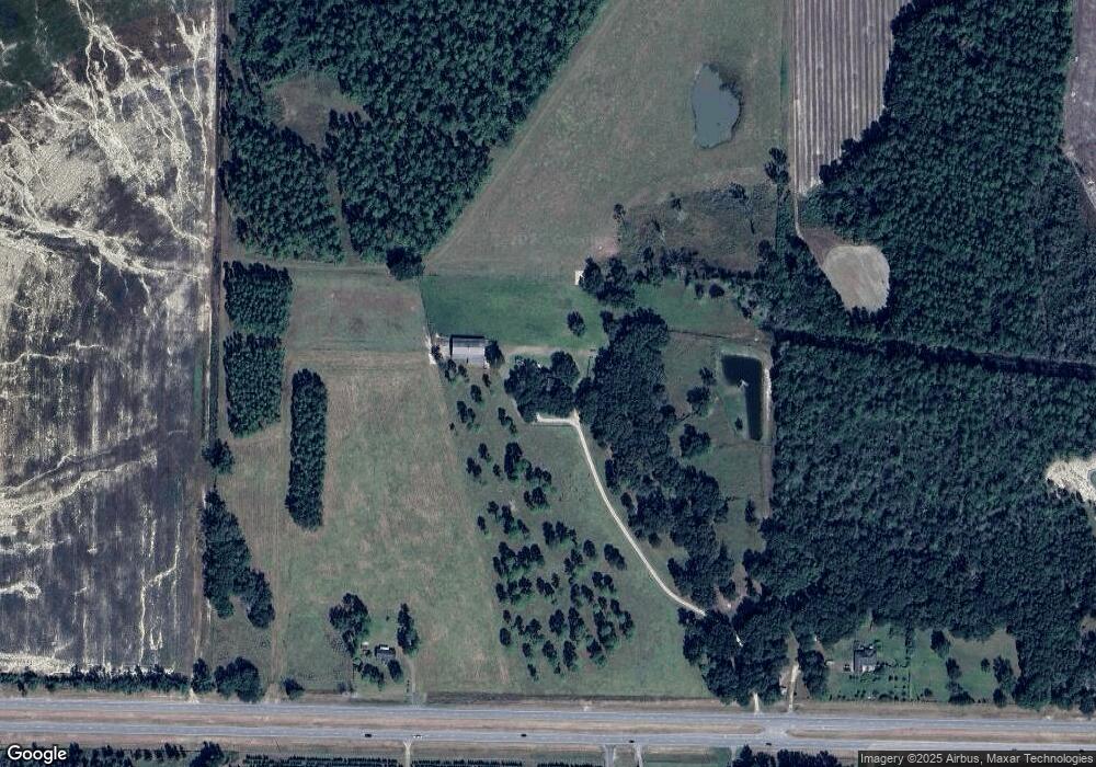
Map
Nearby Homes
- 0 Spencer Rd
- 5199 U S 84
- 2156 County Road 78
- 2818 Dry Lake Rd
- 8820 Grooverville Rd
- 431 Dry Lake Rd
- 9900 Ozell Rd
- 185 Community Ln
- 682 Salem Rd
- 130 E Adams St
- 1540 Dunn Rd
- 2434 Dunn Rd
- 804 Westlake Dr
- 309 Eastlake Dr
- 146 Old Highway 84 W
- 7402 Coffee Rd
- 1103 W Railroad St
- 602 N Webster St
- 802 W Lafayette St
- 1038-BA Church St
- 2815 U S 84
- 2581 Us Highway 84
- 2815 Us Highway 84
- 2871 Us Highway 84
- 2544 Us Highway 84
- 2490 Us Highway 84
- 2983 Us Highway 84
- 2983 Us Highway 84
- 2484 Us Highway 84
- 3025 Thomasville Rd
- 2355 Us Highway 84
- 2355 U S 84
- 3053 Us Highway 84
- 3175 Us Highway 84
- 3175 Us Highway 84
- 3152 Us Highway 84
- 3305 Old Thomasville Rd
- 3501 Old Thomasville Rd
- 3501 Old Thomasville Rd
- 3004 Old Thomasville Rd