2561 Whitfield Rd Clarksville, TN 37040
Estimated Value: $287,000 - $337,000
--
Bed
3
Baths
1,980
Sq Ft
$160/Sq Ft
Est. Value
About This Home
This home is located at 2561 Whitfield Rd, Clarksville, TN 37040 and is currently estimated at $317,666, approximately $160 per square foot. 2561 Whitfield Rd is a home located in Montgomery County with nearby schools including Glenellen Elementary School, Northeast Middle School, and Northeast High School.
Ownership History
Date
Name
Owned For
Owner Type
Purchase Details
Closed on
May 26, 2006
Sold by
Chrisman William D
Bought by
Allen Terance H
Current Estimated Value
Home Financials for this Owner
Home Financials are based on the most recent Mortgage that was taken out on this home.
Original Mortgage
$130,000
Outstanding Balance
$86,083
Interest Rate
8.95%
Estimated Equity
$231,583
Purchase Details
Closed on
Nov 17, 2000
Sold by
Devers Jerry
Bought by
Chrisman William D Sr Trus
Purchase Details
Closed on
Dec 20, 1996
Sold by
Peterson Virgil A
Bought by
Devers Jerry
Create a Home Valuation Report for This Property
The Home Valuation Report is an in-depth analysis detailing your home's value as well as a comparison with similar homes in the area
Home Values in the Area
Average Home Value in this Area
Purchase History
| Date | Buyer | Sale Price | Title Company |
|---|---|---|---|
| Allen Terance H | $130,000 | -- | |
| Chrisman William D Sr Trus | $15,000 | -- | |
| Devers Jerry | -- | -- |
Source: Public Records
Mortgage History
| Date | Status | Borrower | Loan Amount |
|---|---|---|---|
| Open | Devers Jerry | $130,000 |
Source: Public Records
Tax History Compared to Growth
Tax History
| Year | Tax Paid | Tax Assessment Tax Assessment Total Assessment is a certain percentage of the fair market value that is determined by local assessors to be the total taxable value of land and additions on the property. | Land | Improvement |
|---|---|---|---|---|
| 2024 | $2,624 | $88,050 | $0 | $0 |
| 2023 | $2,624 | $55,050 | $0 | $0 |
| 2022 | $2,323 | $55,050 | $0 | $0 |
| 2021 | $2,323 | $55,050 | $0 | $0 |
| 2020 | $2,213 | $55,050 | $0 | $0 |
| 2019 | $2,213 | $55,050 | $0 | $0 |
| 2018 | $2,138 | $47,425 | $0 | $0 |
| 2017 | $436 | $49,600 | $0 | $0 |
| 2016 | $1,081 | $35,200 | $0 | $0 |
| 2015 | $1,081 | $35,200 | $0 | $0 |
| 2014 | $1,464 | $35,200 | $0 | $0 |
| 2013 | $1,381 | $31,550 | $0 | $0 |
Source: Public Records
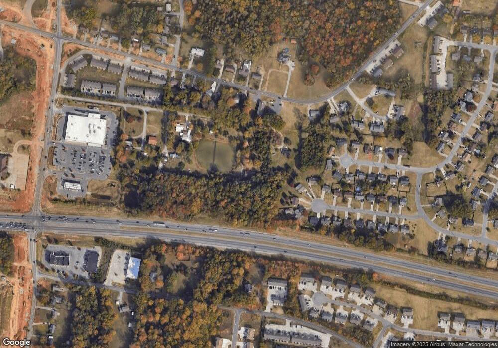
Map
Nearby Homes
- 2641 Del Ray Dr
- 788 Cherrybark Ln
- 2736 Ann Dr
- 2738 Ann Dr
- 0 Ann Dr
- 211 Sambar Dr
- 2765 Ann Dr
- 2526 Centerstone Cir
- 28 Boulder Pass Rd
- 40 Boulder Pass Rd
- 1109 Black Rock Rd
- 1113 Black Rock Rd
- 2711 Dove Ct
- 1102 Black Rock Rd
- 1117 Black Rock Rd
- 2774 N Whitfield Rd
- 0 Dove Ct
- 572 Tracy Ln
- 1192 Boulder Pass Rd
- 2657 Cider Dr
- 2595 Whitfield Rd
- 621 Corinth Ct
- 619 Corinth Ct
- 620 Corinth Ct
- 617 Corinth Ct
- 2581 Whitfield Rd
- 738 Needmore Rd
- 615 Corinth Ct
- 740 Needmore Rd
- 618 Corinth Ct
- 2643 Derby Dr
- 2645 Derby Dr
- 2646 Derby Dr
- 726 Needmore Rd
- 742 Needmore Rd
- 613 Corinth Ct
- 616 Corinth Ct
- 2648 Derby Dr
- 722 Needmore Rd Unit 1
- 722 Needmore Rd