2563 Sandy Cay West Palm Beach, FL 33411
Andros Isle NeighborhoodEstimated Value: $401,765 - $498,000
3
Beds
2
Baths
1,528
Sq Ft
$292/Sq Ft
Est. Value
About This Home
This home is located at 2563 Sandy Cay, West Palm Beach, FL 33411 and is currently estimated at $446,191, approximately $292 per square foot. 2563 Sandy Cay is a home located in Palm Beach County with nearby schools including Benoist Farms Elementary School, Jeaga Middle School, and Palm Beach Lakes Community High School.
Ownership History
Date
Name
Owned For
Owner Type
Purchase Details
Closed on
Aug 24, 2007
Sold by
Snyder Rochelle
Bought by
Snyder Rochelle and Rosner Jeffrey Paul
Current Estimated Value
Purchase Details
Closed on
Jul 7, 2005
Sold by
Snyder Edward
Bought by
Snyder Rochelle
Purchase Details
Closed on
Jan 28, 2002
Sold by
Brittany Bay At Andros Isle Ltd
Bought by
Snyder Edward and Snyder Rochelle
Home Financials for this Owner
Home Financials are based on the most recent Mortgage that was taken out on this home.
Original Mortgage
$137,000
Interest Rate
6.75%
Create a Home Valuation Report for This Property
The Home Valuation Report is an in-depth analysis detailing your home's value as well as a comparison with similar homes in the area
Home Values in the Area
Average Home Value in this Area
Purchase History
| Date | Buyer | Sale Price | Title Company |
|---|---|---|---|
| Snyder Rochelle | $179,800 | First Security Title Group I | |
| Snyder Rochelle | $45,000 | -- | |
| Snyder Edward | $171,371 | -- |
Source: Public Records
Mortgage History
| Date | Status | Borrower | Loan Amount |
|---|---|---|---|
| Previous Owner | Snyder Edward | $137,000 |
Source: Public Records
Tax History Compared to Growth
Tax History
| Year | Tax Paid | Tax Assessment Tax Assessment Total Assessment is a certain percentage of the fair market value that is determined by local assessors to be the total taxable value of land and additions on the property. | Land | Improvement |
|---|---|---|---|---|
| 2024 | $1,216 | $147,622 | -- | -- |
| 2023 | $2,195 | $143,322 | $0 | $0 |
| 2022 | $2,290 | $139,148 | $0 | $0 |
| 2021 | $2,244 | $135,095 | $0 | $0 |
| 2020 | $2,221 | $133,230 | $0 | $0 |
| 2019 | $2,194 | $130,235 | $0 | $0 |
| 2018 | $2,377 | $127,807 | $0 | $0 |
| 2017 | $2,332 | $125,178 | $0 | $0 |
| 2016 | $2,316 | $122,603 | $0 | $0 |
| 2015 | $2,355 | $121,751 | $0 | $0 |
| 2014 | $2,352 | $120,785 | $0 | $0 |
Source: Public Records
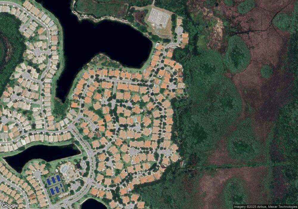
Map
Nearby Homes
- 8402 Staniel Cay
- 8404 Nicholls Point
- 8475 Pine Cay
- 8525 Pine Cay
- 2394 Kemps Bay
- 2585 San Andros
- 8611 Green Cay
- 8177 Fresh Creek Unit 8177
- 8345 Fresh Creek
- 8667 San Andros
- 4453 N San Andros
- 8722 San Andros
- 8841 S San Andros
- 2132 Foxtail View Ct
- 2435 Curley Cut
- 7925 Nile River Rd
- 8449 Cocoplum Sound Ln
- 8337 Cocoplum Sound Ln
- 8332 Cocoplum Sound Ln
- 8328 Cocoplum Sound Ln
- 2565 Sandy Cay
- 2561 Sandy Cay
- 8400 Staniel Cay
- 2567 Sandy Cay
- 2555 Sandy Cay
- 8401 Staniel Cay
- 2564 Sandy Cay
- 2569 Sandy Cay
- 2568 Sandy Cay
- 8397 Nicholls Point
- 2556 Sandy Cay
- 8403 Staniel Cay
- 8403 Staniel Cay
- 8399 Nicholls Point
- 2571 Sandy Cay
- 2572 Sandy Cay
- 2539 Sandy Cay
- 2552 Sandy Cay
- 8395 Nicholls Point
- 8092 Driggs Hill