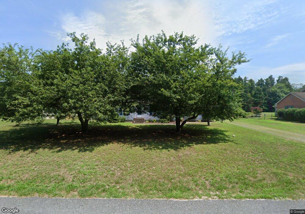
25684 Brookside Dr Seaford, DE 19973
Estimated Value: $291,956 - $351,000
3
Beds
--
Bath
1,372
Sq Ft
$240/Sq Ft
Est. Value
About This Home
This home is located at 25684 Brookside Dr, Seaford, DE 19973 and is currently estimated at $329,739, approximately $240 per square foot. 25684 Brookside Dr is a home located in Sussex County with nearby schools including West Seaford Elementary School, Seaford Central Elementary School, and Seaford Middle School.
Ownership History
Date
Name
Owned For
Owner Type
Purchase Details
Closed on
Jan 23, 2024
Sold by
Agan Cheryl A
Bought by
Caa Irrevocable Trust
Current Estimated Value
Purchase Details
Closed on
Apr 4, 2013
Sold by
Homnick Cheryl
Bought by
Brittingham Jay J and Brittingham Serena S
Home Financials for this Owner
Home Financials are based on the most recent Mortgage that was taken out on this home.
Original Mortgage
$164,285
Interest Rate
3.55%
Purchase Details
Closed on
Mar 22, 2013
Sold by
Homnick Cheryl
Bought by
Brittingham Jay J and Brittingham Serena S
Home Financials for this Owner
Home Financials are based on the most recent Mortgage that was taken out on this home.
Original Mortgage
$164,285
Interest Rate
3.55%
Create a Home Valuation Report for This Property
The Home Valuation Report is an in-depth analysis detailing your home's value as well as a comparison with similar homes in the area
Home Values in the Area
Average Home Value in this Area
Purchase History
| Date | Buyer | Sale Price | Title Company |
|---|---|---|---|
| Caa Irrevocable Trust | -- | None Listed On Document | |
| Brittingham Jay J | $161,000 | -- | |
| Brittingham Jay J | $161,000 | -- |
Source: Public Records
Mortgage History
| Date | Status | Borrower | Loan Amount |
|---|---|---|---|
| Previous Owner | Brittingham Jay J | $164,285 | |
| Previous Owner | Brittingham Jay J | $164,285 |
Source: Public Records
Tax History
| Year | Tax Paid | Tax Assessment Tax Assessment Total Assessment is a certain percentage of the fair market value that is determined by local assessors to be the total taxable value of land and additions on the property. | Land | Improvement |
|---|---|---|---|---|
| 2025 | $1,046 | $17,800 | $1,500 | $16,300 |
| 2024 | $890 | $17,800 | $1,500 | $16,300 |
| 2023 | $890 | $17,800 | $1,500 | $16,300 |
| 2022 | $867 | $17,800 | $1,500 | $16,300 |
| 2021 | $871 | $17,800 | $1,500 | $16,300 |
| 2020 | $944 | $17,800 | $1,500 | $16,300 |
| 2019 | $827 | $17,800 | $1,500 | $16,300 |
| 2018 | $806 | $17,800 | $0 | $0 |
| 2017 | $765 | $17,800 | $0 | $0 |
| 2016 | $737 | $17,800 | $0 | $0 |
| 2015 | $736 | $17,800 | $0 | $0 |
| 2014 | $697 | $17,800 | $0 | $0 |
Source: Public Records
Map
Nearby Homes
- 25672 Brookside Dr
- 9 Woodland Dr
- 4466 Mayflower Ln
- 25997 Butler Branch Rd
- 137 S Paula Lynne Dr
- 4689 Woodpecker Rd
- 4070 Woodpecker Rd
- 517 Elm Dr
- Lot 3 Woodland Ferry Rd
- Lot 1 Woodland Ferry Rd
- 27950 Woodland Rd
- 26615 Blue Hen Ln
- 308 Sussex Ave
- 26835 Walker Rd Unit 56043
- 5735 Reliance Rd
- 30337 Hawk Ridge Way
- 35 Read St
- 103 William Ross Ln
- 1102 Wythe Ln
- 126 William Ross Ln
- 25684 Brookside Dr
- 25364 Brookside Dr
- 0 Brookside Dr Unit 1001372396
- 0 Brookside Dr Unit 1001000064
- 0 Brookside Dr Unit 1001155850
- 69 Brookside Dr
- 0 Brookside Dr Unit 1001694118
- 0 Brookside Dr Unit 1001700432
- 25392 Butler Mill Dr
- 25402 Butler Mill Dr
- 25376 Butler Mill Dr
- 25658 Brookside Dr
- 25665 Brookside Dr
- 25683 Brookside Dr
- 25365 Brookside Dr
- 25381 Brookside Dr
- 25381 Brookside Dr
- 25337 Brookside Dr
- 25646 Brookside Dr
- 25651 Brookside Dr