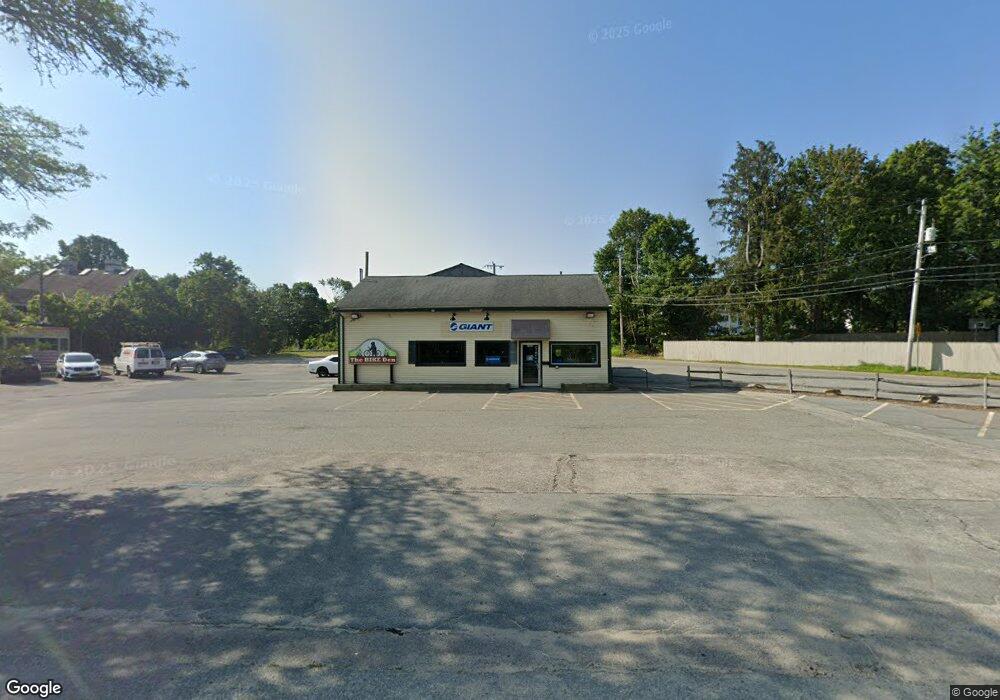
2569 Cranberry Hwy Wareham, MA 02571
Estimated Value: $1,778,349
Studio
1
Bath
2,601
Sq Ft
$684/Sq Ft
Est. Value
About This Home
This home is located at 2569 Cranberry Hwy, Wareham, MA 02571 and is currently estimated at $1,778,349, approximately $683 per square foot. 2569 Cranberry Hwy is a home located in Plymouth County with nearby schools including Tabor Academy.
Ownership History
Date
Name
Owned For
Owner Type
Purchase Details
Closed on
Jul 10, 2006
Sold by
Gah Inc
Bought by
Mill Pond Station Llc and Adm Mgmt Corp
Current Estimated Value
Home Financials for this Owner
Home Financials are based on the most recent Mortgage that was taken out on this home.
Original Mortgage
$760,000
Outstanding Balance
$449,947
Interest Rate
6.6%
Mortgage Type
Commercial
Estimated Equity
$1,350,176
Purchase Details
Closed on
Aug 26, 2003
Sold by
Kirklands T and Kirkland Mitchell V
Bought by
Gah Inc
Home Financials for this Owner
Home Financials are based on the most recent Mortgage that was taken out on this home.
Original Mortgage
$472,500
Interest Rate
5.52%
Mortgage Type
Commercial
Create a Home Valuation Report for This Property
The Home Valuation Report is an in-depth analysis detailing your home's value as well as a comparison with similar homes in the area
Purchase History
| Date | Buyer | Sale Price | Title Company |
|---|---|---|---|
| Mill Pond Station Llc | $950,000 | -- | |
| Mill Pond Station Llc | $950,000 | -- | |
| Gah Inc | $325,000 | -- | |
| Gah Inc | $325,000 | -- |
Source: Public Records
Mortgage History
| Date | Status | Borrower | Loan Amount |
|---|---|---|---|
| Open | Gah Inc | $760,000 | |
| Closed | Gah Inc | $760,000 | |
| Previous Owner | Gah Inc | $472,500 |
Source: Public Records
Tax History Compared to Growth
Tax History
| Year | Tax Paid | Tax Assessment Tax Assessment Total Assessment is a certain percentage of the fair market value that is determined by local assessors to be the total taxable value of land and additions on the property. | Land | Improvement |
|---|---|---|---|---|
| 2025 | $3,046 | $292,300 | $108,600 | $183,700 |
| 2024 | $2,822 | $251,300 | $90,500 | $160,800 |
| 2023 | $3,312 | $251,300 | $90,500 | $160,800 |
| 2022 | $3,312 | $251,300 | $90,500 | $160,800 |
| 2021 | $3,380 | $251,300 | $90,500 | $160,800 |
| 2020 | $3,332 | $251,300 | $90,500 | $160,800 |
| 2019 | $3,188 | $239,900 | $86,200 | $153,700 |
| 2018 | $3,270 | $239,900 | $86,200 | $153,700 |
| 2017 | $3,227 | $239,900 | $86,200 | $153,700 |
| 2016 | $3,246 | $239,900 | $86,200 | $153,700 |
| 2015 | $3,135 | $239,900 | $86,200 | $153,700 |
| 2014 | $8,509 | $662,200 | $150,700 | $511,500 |
Source: Public Records
Map
Nearby Homes
- 437 Main St
- 110 Mayflower Ridge Dr
- 687 Main St
- 2645 Cranberry Hwy Unit A
- 62 High St
- 233 Marion Rd
- 2 Oakdale St
- 45 Main St Unit 38
- 13 Cherry St
- 2697 Cranberry Hwy Unit 21
- 2697 Cranberry Hwy Unit 28
- 17 Station St
- 35 Willard St
- 2711 Cranberry Hwy
- 1 Nimrod Way
- 4 Ross Ave
- 10 Oak St
- 189 Pine View Terrace
- 8 Cottage St
- 15 Broadmarsh Ave