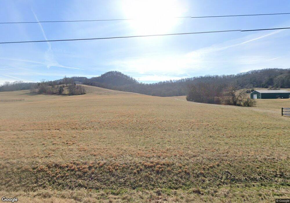
2585 Browning Branch Rd Bethpage, TN 37022
Estimated Value: $258,000 - $562,000
Studio
1
Bath
720
Sq Ft
$583/Sq Ft
Est. Value
About This Home
This home is located at 2585 Browning Branch Rd, Bethpage, TN 37022 and is currently estimated at $420,033, approximately $583 per square foot. 2585 Browning Branch Rd is a home located in Trousdale County with nearby schools including Trousdale County Elementary School, Trousdale County High School, and Jim Satterfield Middle School.
Ownership History
Date
Name
Owned For
Owner Type
Purchase Details
Closed on
Jul 15, 2019
Sold by
Gregory Ricky Dale
Bought by
Gregory R David
Current Estimated Value
Purchase Details
Closed on
Jul 6, 2018
Sold by
Gregory Ricky Dale
Bought by
David Gregory R
Purchase Details
Closed on
Apr 27, 2017
Sold by
Gregory Ricky Dale
Bought by
David Gregory R
Purchase Details
Closed on
Mar 1, 1990
Purchase Details
Closed on
Jul 15, 1989
Purchase Details
Closed on
Apr 29, 1988
Purchase Details
Closed on
Dec 29, 1987
Bought by
Gregory Ricky Dale
Create a Home Valuation Report for This Property
The Home Valuation Report is an in-depth analysis detailing your home's value as well as a comparison with similar homes in the area
Home Values in the Area
Average Home Value in this Area
Purchase History
| Date | Buyer | Sale Price | Title Company |
|---|---|---|---|
| Gregory R David | $42,000 | -- | |
| David Gregory R | $42,000 | -- | |
| David Gregory R | $38,000 | -- | |
| -- | -- | -- | |
| -- | -- | -- | |
| -- | $22,500 | -- | |
| Gregory Ricky Dale | -- | -- |
Source: Public Records
Tax History
| Year | Tax Paid | Tax Assessment Tax Assessment Total Assessment is a certain percentage of the fair market value that is determined by local assessors to be the total taxable value of land and additions on the property. | Land | Improvement |
|---|---|---|---|---|
| 2025 | $1,303 | $62,025 | $28,850 | $33,175 |
| 2024 | $1,277 | $62,025 | $28,850 | $33,175 |
| 2023 | $1,208 | $62,025 | $28,850 | $33,175 |
| 2022 | $1,202 | $62,025 | $28,850 | $33,175 |
| 2021 | $1,205 | $62,025 | $28,850 | $33,175 |
| 2020 | $1,205 | $49,400 | $22,375 | $27,025 |
| 2019 | $1,221 | $49,400 | $22,375 | $27,025 |
| 2018 | $1,222 | $41,125 | $19,075 | $22,050 |
| 2017 | $1,548 | $43,450 | $20,225 | $23,225 |
| 2016 | $1,580 | $53,925 | $24,475 | $29,450 |
| 2015 | $1,682 | $53,925 | $24,475 | $29,450 |
| 2014 | $1,467 | $47,025 | $20,250 | $26,775 |
Source: Public Records
Map
Nearby Homes
- 0 Browning Branch Rd Unit RTC3072769
- 0 Templow Rd Unit 7
- 2965 Sulphur College Rd
- 4205 Browning Branch Rd
- 4355 Browning Branch Rd
- 1495 Wolf Hill Rd
- 7 Templow Rd
- 1645 Sulphur College Rd
- 1675 Sulphur College Rd
- 1705 Sulphur College Rd
- 210 Crenshaw Rd
- 115 Crenshaw Rd
- 95 Crenshaw Rd
- 2210 Tennessee 141
- 3600 Old Highway 25
- 1705 Highway 141 N
- 5335 Browning Branch Rd Unit 1
- 5335 Browning Branch Rd
- 575 Skillet Creek Rd
- 325 Freeman Ln
- 2525 Browning Branch Rd
- 2495 Browning Branch Rd
- 2735 Browning Branch Rd
- 2625 Browning Branch Rd
- 2395 Browning Branch Rd
- 2465 Browning Branch Rd
- 2665 Browning Branch Rd
- 2425 Browning Branch Rd
- 125 Snake Hollow Rd
- 2705 Browning Branch Rd
- 165 Snake Hollow Rd
- 0 Snake Hollow Rd Unit 1805458
- 0 Snake Hollow Rd Unit 1805438
- 2355 Browning Branch Rd
- 40 Snake Hollow Rd
- 80 Snake Hollow Rd
- 2285 Browning Branch Rd
- 0 Browning Branch Rd Unit 1618452
- 0 Browning Branch Rd Unit 1772120
- 0 Browning Branch Rd Unit RTC2808978
Your Personal Tour Guide
Ask me questions while you tour the home.