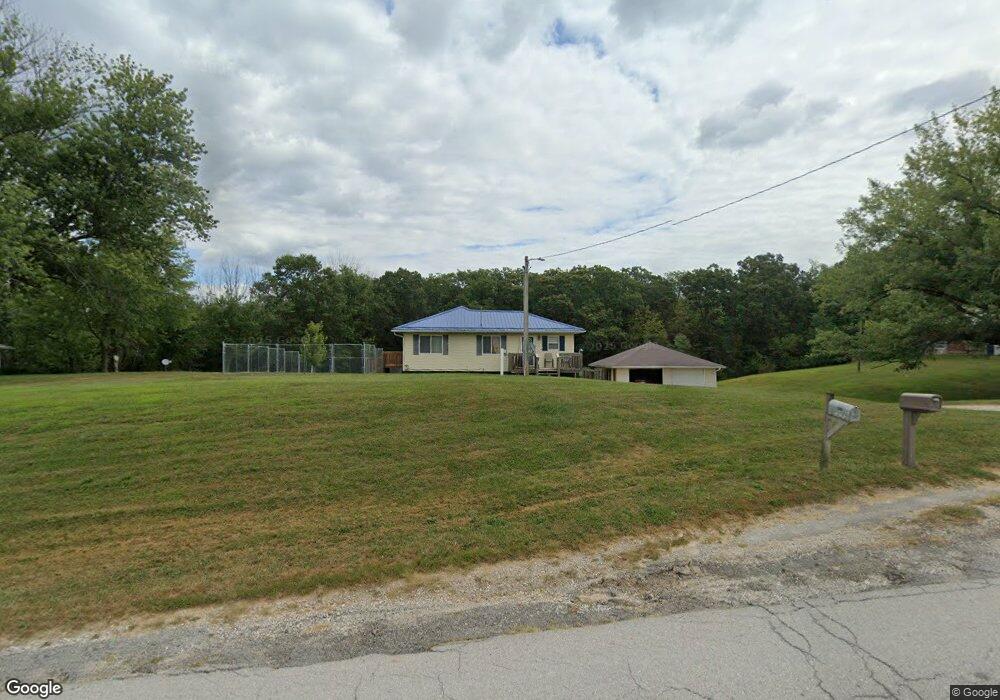
2587 Little Soap Rd Bloomfield, IA 52537
Estimated Value: $255,000 - $403,000
5
Beds
2
Baths
1,104
Sq Ft
$293/Sq Ft
Est. Value
About This Home
This home is located at 2587 Little Soap Rd, Bloomfield, IA 52537 and is currently estimated at $323,934, approximately $293 per square foot. 2587 Little Soap Rd is a home located in Wapello County with nearby schools including Douma Elementary School, Liberty Elementary School, and Evans Middle School.
Ownership History
Date
Name
Owned For
Owner Type
Purchase Details
Closed on
Sep 25, 2007
Sold by
Rushman James P and Rushman Lori A
Bought by
Hance Daniel L W
Current Estimated Value
Home Financials for this Owner
Home Financials are based on the most recent Mortgage that was taken out on this home.
Original Mortgage
$131,200
Outstanding Balance
$83,449
Interest Rate
6.66%
Mortgage Type
Purchase Money Mortgage
Estimated Equity
$240,485
Create a Home Valuation Report for This Property
The Home Valuation Report is an in-depth analysis detailing your home's value as well as a comparison with similar homes in the area
Home Values in the Area
Average Home Value in this Area
Purchase History
| Date | Buyer | Sale Price | Title Company |
|---|---|---|---|
| Hance Daniel L W | $131,500 | None Available |
Source: Public Records
Mortgage History
| Date | Status | Borrower | Loan Amount |
|---|---|---|---|
| Open | Hance Daniel L W | $131,200 |
Source: Public Records
Tax History Compared to Growth
Tax History
| Year | Tax Paid | Tax Assessment Tax Assessment Total Assessment is a certain percentage of the fair market value that is determined by local assessors to be the total taxable value of land and additions on the property. | Land | Improvement |
|---|---|---|---|---|
| 2025 | $2,536 | $206,410 | $24,210 | $182,200 |
| 2024 | $2,536 | $193,230 | $22,000 | $171,230 |
| 2023 | $2,060 | $193,230 | $22,000 | $171,230 |
| 2022 | $1,930 | $151,980 | $22,000 | $129,980 |
| 2021 | $2,059 | $134,210 | $22,000 | $112,210 |
| 2020 | $1,960 | $137,220 | $22,000 | $115,220 |
| 2019 | $1,904 | $131,470 | $0 | $0 |
| 2018 | $1,870 | $131,470 | $0 | $0 |
| 2017 | $1,870 | $131,470 | $0 | $0 |
| 2016 | $1,886 | $132,129 | $0 | $0 |
| 2015 | $1,922 | $132,129 | $0 | $0 |
| 2014 | $1,876 | $132,129 | $0 | $0 |
Source: Public Records
Map
Nearby Homes
- 3788 Little Soap Rd
- 3637 150th Ave
- 4261 Highway 63
- 10186 Lupine Trail
- 0 15th St Unit NOC6332055
- 23751 125th St
- 13530 65th St
- 880 Montagne Ln
- 827 Ingersoll
- 1404 Lake Rd
- 1255 S Milner St
- 846 S Adella St
- 12679 Jewel Ave
- 00 S Webster St
- 0 S Webster Unit NOC6332429
- 559 S Moore St
- 1007 S James St
- 534 Ray St
- 812 Lake Rd
- 522 S Davis St
- 2643 Little Soap Rd
- 2556 Little Soap Rd
- 13489 25th St
- 2705 Little Soap Rd
- 2704 Little Soap Rd
- 2487 Little Soap Rd
- 13327 25th St
- 2737 Little Soap Rd
- 2704 Little Soap Rd
- 000 Little Soap Rd
- 1970 Little Soap Rd
- 3478 Little Soap Rd
- 13319 25th St
- 2866 Little Soap Rd
- 2291 Little Soap Rd
- 13077 25th
- 2352 Little Soap Rd
- 13244 25th St
- 13161 25th St
- 2275 Little Soap Rd