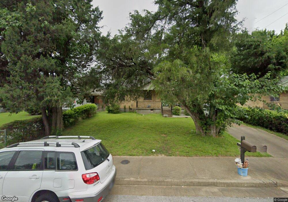
2587 Sparks St Memphis, TN 38106
Southeast Memphis NeighborhoodEstimated Value: $66,577 - $114,000
3
Beds
1
Bath
989
Sq Ft
$85/Sq Ft
Est. Value
About This Home
This home is located at 2587 Sparks St, Memphis, TN 38106 and is currently estimated at $83,644, approximately $84 per square foot. 2587 Sparks St is a home located in Shelby County with nearby schools including Hamilton High School, Believe Memphis Academy Charter School, and Memphis College Preparatory.
Ownership History
Date
Name
Owned For
Owner Type
Purchase Details
Closed on
Feb 7, 2007
Sold by
Hayes Willie H
Bought by
Hayes Willie H and Hayes Doris L
Current Estimated Value
Home Financials for this Owner
Home Financials are based on the most recent Mortgage that was taken out on this home.
Original Mortgage
$65,700
Outstanding Balance
$39,308
Interest Rate
6.14%
Mortgage Type
Purchase Money Mortgage
Estimated Equity
$44,336
Purchase Details
Closed on
Nov 2, 2006
Sold by
Sanders Ramona Yvette
Bought by
Farmer Derrick and Farmer Janice
Create a Home Valuation Report for This Property
The Home Valuation Report is an in-depth analysis detailing your home's value as well as a comparison with similar homes in the area
Home Values in the Area
Average Home Value in this Area
Purchase History
| Date | Buyer | Sale Price | Title Company |
|---|---|---|---|
| Hayes Willie H | -- | None Available | |
| Hayes Willie H | $65,720 | None Available | |
| Farmer Derrick | $29,902 | None Available |
Source: Public Records
Mortgage History
| Date | Status | Borrower | Loan Amount |
|---|---|---|---|
| Open | Hayes Willie H | $65,700 |
Source: Public Records
Tax History Compared to Growth
Tax History
| Year | Tax Paid | Tax Assessment Tax Assessment Total Assessment is a certain percentage of the fair market value that is determined by local assessors to be the total taxable value of land and additions on the property. | Land | Improvement |
|---|---|---|---|---|
| 2025 | $388 | $13,725 | $1,875 | $11,850 |
| 2024 | $388 | $11,450 | $1,000 | $10,450 |
| 2023 | $698 | $11,450 | $1,000 | $10,450 |
| 2022 | $698 | $11,450 | $1,000 | $10,450 |
| 2021 | $706 | $11,450 | $1,000 | $10,450 |
| 2020 | $616 | $8,500 | $1,000 | $7,500 |
| 2019 | $616 | $8,500 | $1,000 | $7,500 |
| 2018 | $616 | $8,500 | $1,000 | $7,500 |
| 2017 | $349 | $8,500 | $1,000 | $7,500 |
| 2016 | $392 | $8,975 | $0 | $0 |
| 2014 | $392 | $8,975 | $0 | $0 |
Source: Public Records
Map
Nearby Homes
- 1473 Carlton Rd
- 2601 Darlene St
- 1490 Lockhaven Ave
- 0 Carlton Rd
- 1495 Compton Ave
- 2377 Warren St
- 2386 Bridgeport Dr
- 2428 Rozelle St
- 2944 Millbranch Rd
- 2416 Verdun St
- 1385 Eloise Rd
- 2180 Elvis Presley Blvd
- 1408 Eloise Rd
- 1078 N Ball Rd
- 1560 Cane Rd
- 2067 Corry Rd
- 1431 Ledger Rd
- 2196 Ketchum Rd
- 2410 W Hollyford Rd
- 1832 Rozelle St