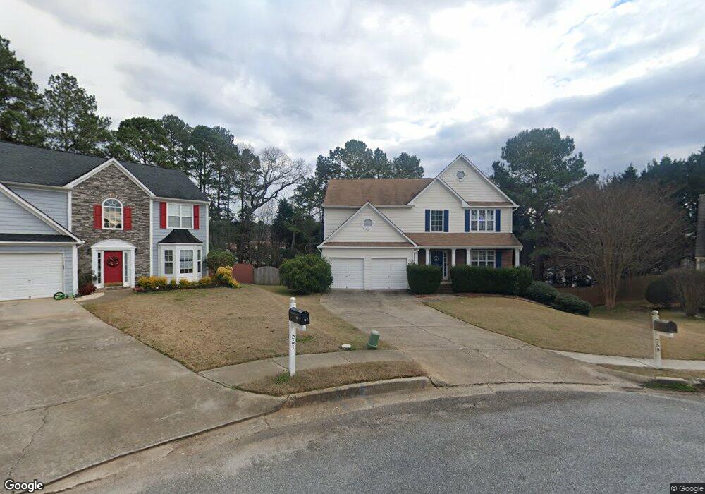
259 Kensington Trace Unit 3 Stockbridge, GA 30281
Estimated Value: $330,948 - $349,000
3
Beds
4
Baths
2,222
Sq Ft
$153/Sq Ft
Est. Value
About This Home
This home is located at 259 Kensington Trace Unit 3, Stockbridge, GA 30281 and is currently estimated at $339,237, approximately $152 per square foot. 259 Kensington Trace Unit 3 is a home located in Henry County with nearby schools including Flippen Elementary School, Eagle's Landing Middle School, and Eagle's Landing High School.
Ownership History
Date
Name
Owned For
Owner Type
Purchase Details
Closed on
Jul 1, 2005
Sold by
Law Matthew J and Law Lori
Bought by
Velez Elba M J
Current Estimated Value
Home Financials for this Owner
Home Financials are based on the most recent Mortgage that was taken out on this home.
Original Mortgage
$39,980
Interest Rate
5.08%
Mortgage Type
Unknown
Create a Home Valuation Report for This Property
The Home Valuation Report is an in-depth analysis detailing your home's value as well as a comparison with similar homes in the area
Home Values in the Area
Average Home Value in this Area
Purchase History
| Date | Buyer | Sale Price | Title Company |
|---|---|---|---|
| Velez Elba M J | $199,900 | -- |
Source: Public Records
Mortgage History
| Date | Status | Borrower | Loan Amount |
|---|---|---|---|
| Closed | Velez Elba M J | $39,980 | |
| Open | Velez Elba M J | $159,920 |
Source: Public Records
Tax History Compared to Growth
Tax History
| Year | Tax Paid | Tax Assessment Tax Assessment Total Assessment is a certain percentage of the fair market value that is determined by local assessors to be the total taxable value of land and additions on the property. | Land | Improvement |
|---|---|---|---|---|
| 2025 | $4,277 | $136,360 | $16,000 | $120,360 |
| 2024 | $4,277 | $140,280 | $16,000 | $124,280 |
| 2023 | $4,283 | $138,440 | $18,000 | $120,440 |
| 2022 | $3,724 | $109,400 | $14,000 | $95,400 |
| 2021 | $3,321 | $92,400 | $14,000 | $78,400 |
| 2020 | $3,102 | $83,120 | $12,000 | $71,120 |
| 2019 | $2,885 | $77,600 | $10,000 | $67,600 |
| 2018 | $2,619 | $70,680 | $10,000 | $60,680 |
| 2016 | $2,391 | $64,720 | $8,000 | $56,720 |
| 2015 | $2,345 | $62,040 | $8,000 | $54,040 |
| 2014 | $2,225 | $58,480 | $8,000 | $50,480 |
Source: Public Records
Map
Nearby Homes
- 209 Brannans Walk
- 228 Kensington Trace
- 214 Kensington Trace
- 248 Brannans Walk
- 200 Kensington Trace
- 104 Riverside Close
- 601 Sawgrass Walk
- 796 Rock Ln
- 153 Rockport Dr
- 418 Abbey Springs Way
- 152 Rockport Dr
- 805 Cog Hill
- 241 Legends Trace
- 401 Crosshaven Way
- 129 Breton Highlands
- 433 Abbey Springs Way
- 205 Legends Trace
- 248 Cranapple Ln
- 146 Himalaya Way
- 236 Himalaya Way
- 261 Kensington Trace
- 257 Kensington Trace
- 258 Kensington Trace
- 256 Kensington Trace
- 254 Kensington Trace Unit 27
- 254 Kensington Trace
- 253 Kensington Trace Unit III
- 252 Kensington Trace
- 0 Highway 42 N Unit 8 8048469
- 0 Highway 42 N Unit 8067455
- 0 Highway 42 N Unit 8556910
- 0 Highway 42 N Unit 8710071
- 0 Highway 42 N Unit 8511118
- 0 Highway 42 N Unit 8498848
- 1910 Brannan Rd
- 251 Kensington Trace Unit III
- 2572 Georgia 42
- 2570 Georgia 42
- 250 Kensington Trace
- 250 Kensington Trace Unit 25