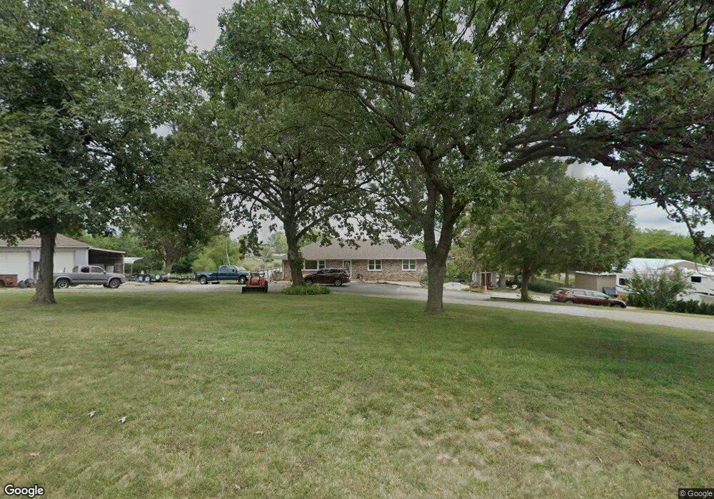
25920 W 215th St Spring Hill, KS 66083
Gardner-Edgerton NeighborhoodEstimated Value: $324,000 - $496,000
3
Beds
2
Baths
1,404
Sq Ft
$292/Sq Ft
Est. Value
About This Home
This home is located at 25920 W 215th St, Spring Hill, KS 66083 and is currently estimated at $410,028, approximately $292 per square foot. 25920 W 215th St is a home located in Johnson County with nearby schools including Wolf Creek Elementary School, Spring Hill Middle School, and Spring Hill High School.
Ownership History
Date
Name
Owned For
Owner Type
Purchase Details
Closed on
May 9, 2003
Sold by
Mcdaniel Helen
Bought by
Grayson Clarence and Grayson Margaret S
Current Estimated Value
Home Financials for this Owner
Home Financials are based on the most recent Mortgage that was taken out on this home.
Original Mortgage
$118,800
Outstanding Balance
$51,558
Interest Rate
5.77%
Mortgage Type
Purchase Money Mortgage
Estimated Equity
$358,470
Purchase Details
Closed on
Jun 17, 2002
Sold by
Browning Melissa K
Bought by
Mcdaniel Helen
Home Financials for this Owner
Home Financials are based on the most recent Mortgage that was taken out on this home.
Original Mortgage
$146,200
Interest Rate
6.82%
Purchase Details
Closed on
Mar 15, 2002
Sold by
Mcdaniel Helen J
Bought by
Browning Melissa K
Create a Home Valuation Report for This Property
The Home Valuation Report is an in-depth analysis detailing your home's value as well as a comparison with similar homes in the area
Home Values in the Area
Average Home Value in this Area
Purchase History
| Date | Buyer | Sale Price | Title Company |
|---|---|---|---|
| Grayson Clarence | -- | Midwest Title Company | |
| Mcdaniel Helen | -- | Midwest Title Company | |
| Browning Melissa K | -- | -- |
Source: Public Records
Mortgage History
| Date | Status | Borrower | Loan Amount |
|---|---|---|---|
| Open | Grayson Clarence | $118,800 | |
| Previous Owner | Mcdaniel Helen | $146,200 |
Source: Public Records
Tax History Compared to Growth
Tax History
| Year | Tax Paid | Tax Assessment Tax Assessment Total Assessment is a certain percentage of the fair market value that is determined by local assessors to be the total taxable value of land and additions on the property. | Land | Improvement |
|---|---|---|---|---|
| 2024 | $3,710 | $31,970 | $11,815 | $20,155 |
| 2023 | $3,536 | $29,900 | $10,279 | $19,621 |
| 2022 | $3,320 | $27,830 | $8,218 | $19,612 |
| 2021 | $2,997 | $24,403 | $6,857 | $17,546 |
| 2020 | $3,006 | $24,196 | $6,857 | $17,339 |
| 2019 | $2,636 | $21,793 | $5,995 | $15,798 |
| 2018 | $2,465 | $20,746 | $5,967 | $14,779 |
| 2017 | $2,167 | $18,400 | $5,833 | $12,567 |
| 2016 | $2,054 | $17,342 | $5,833 | $11,509 |
| 2015 | $2,067 | $17,365 | $5,865 | $11,500 |
| 2013 | -- | $16,664 | $5,865 | $10,799 |
Source: Public Records
Map
Nearby Homes
- 21350 Deer Ridge Dr
- 21411 Deer Ridge Dr
- 25987 W 215th St
- 17752 Red Bird St
- 17758 Red Bird St
- 17753 Red Bird St
- 17759 Red Bird St
- 17765 Red Bird St
- 0 W 207th St Unit 2425721
- 22300 Moonlight Rd
- W 199th St
- 000 W 199th St 25 Acres
- 23224 S Cedar Niles Rd
- 22750 S Moonlight Rd
- 24200 W 199th St
- 0 169 Hwy Unit HMS2507540
- 21743 Johnson Ct
- 21004 Millridge St
- 21141 Millridge St
- 20480 S Gardner Rd
- 25910 W 215th St
- 21410 Deer Ridge Dr
- 21410 Deer Ridge
- 21430 Deer Ridge
- 21410 Deer Ridge Dr
- 21390 Deer Ridge Dr
- 21390 Deer Ridge Dr
- 21430 Deer Ridge Dr
- 21430 Deer Ridge Dr
- 21370 Deer Ridge Dr
- 21370 Deer Ridge Dr
- 21370 Deer Ridge Dr
- 21471 Deer Ridge Dr
- 21471 Deer Ridge Dr
- 21471 Deer Ridge
- 21451 Deer Ridge Dr
- 21451 Deer Ridge Dr
- 21451 Deer Ridge Dr
- 21350 Deer Ridge
- 21350 Deer Ridge Dr