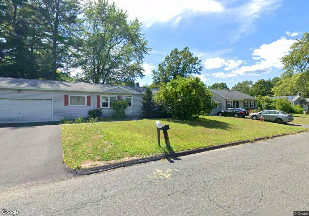
26 Drewsen Dr Florence, MA 01062
Florence NeighborhoodEstimated Value: $337,000 - $373,000
3
Beds
1
Bath
1,175
Sq Ft
$306/Sq Ft
Est. Value
About This Home
This home is located at 26 Drewsen Dr, Florence, MA 01062 and is currently estimated at $359,315, approximately $305 per square foot. 26 Drewsen Dr is a home located in Hampshire County with nearby schools including Northampton High School and Hilltown Cooperative Charter Public School.
Ownership History
Date
Name
Owned For
Owner Type
Purchase Details
Closed on
Nov 4, 1993
Sold by
Coogan Lawrence E and Coogan Ellen Jane
Bought by
Costella Raymond A and Costella Diane S
Current Estimated Value
Home Financials for this Owner
Home Financials are based on the most recent Mortgage that was taken out on this home.
Original Mortgage
$101,650
Interest Rate
6.83%
Mortgage Type
Purchase Money Mortgage
Create a Home Valuation Report for This Property
The Home Valuation Report is an in-depth analysis detailing your home's value as well as a comparison with similar homes in the area
Home Values in the Area
Average Home Value in this Area
Purchase History
| Date | Buyer | Sale Price | Title Company |
|---|---|---|---|
| Costella Raymond A | $107,000 | -- |
Source: Public Records
Mortgage History
| Date | Status | Borrower | Loan Amount |
|---|---|---|---|
| Open | Costella Raymond A | $117,000 | |
| Closed | Costella Raymond A | $12,000 | |
| Closed | Costella Raymond A | $101,000 | |
| Closed | Costella Raymond A | $101,650 |
Source: Public Records
Tax History Compared to Growth
Tax History
| Year | Tax Paid | Tax Assessment Tax Assessment Total Assessment is a certain percentage of the fair market value that is determined by local assessors to be the total taxable value of land and additions on the property. | Land | Improvement |
|---|---|---|---|---|
| 2025 | $3,976 | $285,400 | $124,800 | $160,600 |
| 2024 | $4,285 | $282,100 | $118,900 | $163,200 |
| 2023 | $3,893 | $245,800 | $108,100 | $137,700 |
| 2022 | $3,517 | $196,600 | $100,900 | $95,700 |
| 2021 | $3,472 | $199,900 | $96,300 | $103,600 |
| 2020 | $3,358 | $199,900 | $96,300 | $103,600 |
| 2019 | $3,095 | $178,200 | $81,800 | $96,400 |
| 2018 | $3,028 | $177,700 | $81,800 | $95,900 |
| 2017 | $2,966 | $177,700 | $81,800 | $95,900 |
| 2016 | $2,872 | $177,700 | $81,800 | $95,900 |
| 2015 | $2,771 | $175,400 | $81,800 | $93,600 |
| 2014 | $2,699 | $175,400 | $81,800 | $93,600 |
Source: Public Records
Map
Nearby Homes
- 7 Pine Valley Rd
- 133 Cardinal Way
- 447 Ryan Rd
- 138 Overlook Dr
- 8 Tara Cir
- 39 Matthew Dr
- 383 Westhampton Rd
- 815 Burts Pit Rd
- 137 Emerson Way
- 167 Emerson Way
- 100 Emerson Way
- 269 Ryan Rd
- 634 Burts Pit Rd
- 832 Westhampton Rd
- 0 W Farms Rd
- 48 Dunphy Dr
- 20-11 Sylvester Rd
- 1007 Westhampton Rd
- 88 Autumn Dr
- 95 Autumn Dr