Estimated Value: $541,636 - $612,000
3
Beds
2
Baths
2,300
Sq Ft
$253/Sq Ft
Est. Value
About This Home
This home is located at 26 Fessenden Ln, Weare, NH 03281 and is currently estimated at $581,409, approximately $252 per square foot. 26 Fessenden Ln is a home with nearby schools including Center Woods Elementary School, Weare Middle School, and John Stark Regional High School.
Ownership History
Date
Name
Owned For
Owner Type
Purchase Details
Closed on
Dec 18, 2020
Sold by
Argo Robert E
Bought by
Argo Robert E and Argo Tasha E
Current Estimated Value
Purchase Details
Closed on
Nov 18, 2011
Sold by
Heafield Craig E
Bought by
Argo Robert E
Home Financials for this Owner
Home Financials are based on the most recent Mortgage that was taken out on this home.
Original Mortgage
$238,545
Interest Rate
3.92%
Mortgage Type
Purchase Money Mortgage
Create a Home Valuation Report for This Property
The Home Valuation Report is an in-depth analysis detailing your home's value as well as a comparison with similar homes in the area
Home Values in the Area
Average Home Value in this Area
Purchase History
| Date | Buyer | Sale Price | Title Company |
|---|---|---|---|
| Argo Robert E | -- | None Available | |
| Argo Robert E | $233,600 | -- |
Source: Public Records
Mortgage History
| Date | Status | Borrower | Loan Amount |
|---|---|---|---|
| Previous Owner | Argo Robert E | $238,545 |
Source: Public Records
Tax History Compared to Growth
Tax History
| Year | Tax Paid | Tax Assessment Tax Assessment Total Assessment is a certain percentage of the fair market value that is determined by local assessors to be the total taxable value of land and additions on the property. | Land | Improvement |
|---|---|---|---|---|
| 2024 | $6,953 | $341,000 | $108,100 | $232,900 |
| 2023 | $6,424 | $341,000 | $108,100 | $232,900 |
| 2022 | $5,933 | $341,000 | $108,100 | $232,900 |
| 2021 | $5,669 | $329,600 | $108,100 | $221,500 |
| 2020 | $5,956 | $248,700 | $80,400 | $168,300 |
| 2019 | $5,897 | $248,700 | $80,400 | $168,300 |
| 2018 | $5,728 | $248,700 | $80,400 | $168,300 |
| 2016 | $5,530 | $247,200 | $80,400 | $166,800 |
| 2015 | $5,461 | $243,700 | $77,700 | $166,000 |
| 2014 | $5,413 | $243,700 | $77,700 | $166,000 |
| 2013 | $5,300 | $243,700 | $77,700 | $166,000 |
Source: Public Records
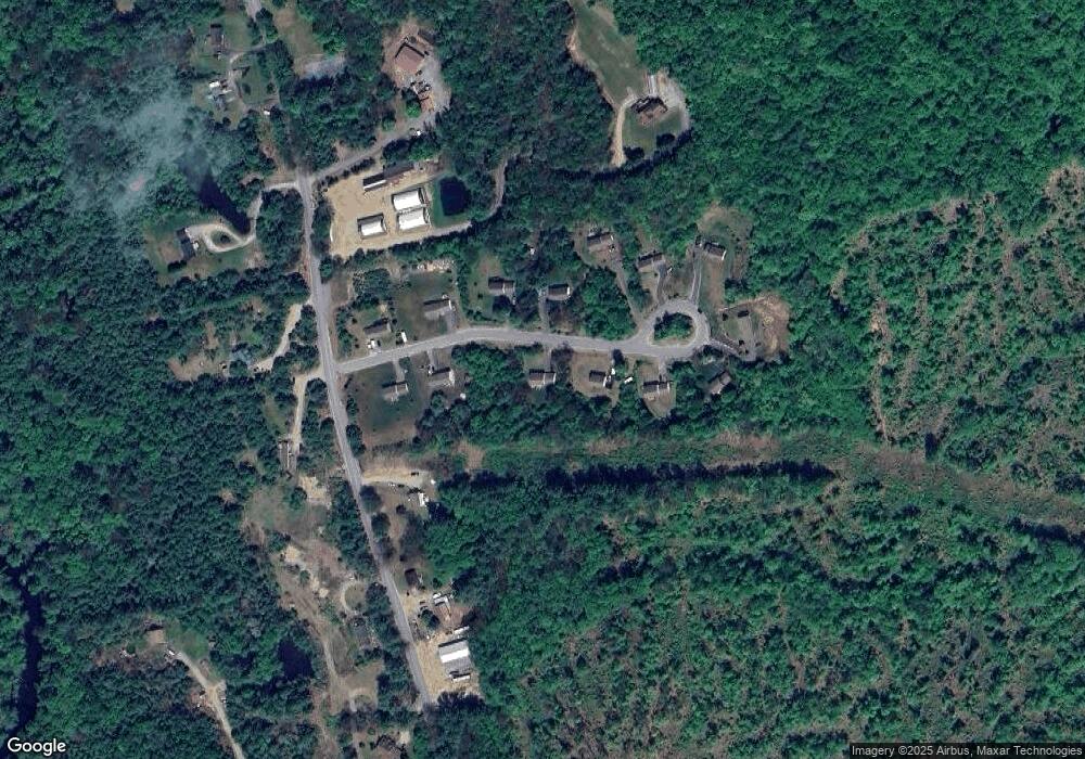
Map
Nearby Homes
- 174 S Stark Hwy Unit 13
- 174 S Stark Hwy Unit 1
- 174 S Stark Hwy Unit 23
- 88 Saunders Rd
- 93 Daniels Rd
- 77 Gould Rd
- 3 Stephanie Rd
- 22 Fairway Dr
- 103 Renshaw Rd
- 0 Fairway Dr Unit 11
- 95 Wright Dr
- 624 S Stark Hwy
- 16 Palmer Rd
- 34 Lull Rd
- 450 Weare Rd
- 25 Pleasant St
- 342 Weare Rd
- 849 River Rd
- 12 S Mast St
- 39 S Mast St
- 32 Fessenden Ln
- 10 Fessenden Ln
- 10 Fessenden Ln
- 12 Fessenden Ln
- 25 Fessenden Ln
- 19 Fessenden Ln
- 13 Fessenden Ln
- 8 Fessenden Ln
- 38 Fessenden Ln
- 35 Fessenden Ln
- 174 River Rd
- 5 Fessenden Ln
- 39 Fessenden Ln
- 40 Fessenden Ln
- 4 Fessenden Ln
- 42 Fessenden Ln
- 43 Fessenden Ln
- 168 River Rd
- 189 River Rd
- 189 River Rd