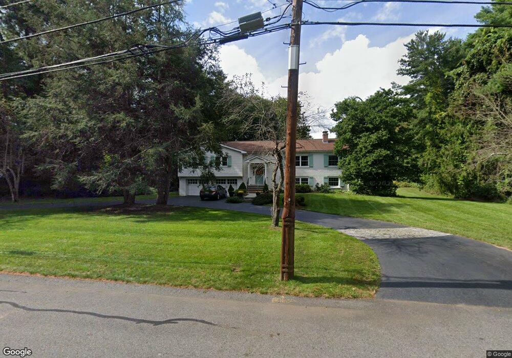
26 Locust Ln Needham, MA 02492
Estimated Value: $1,408,000 - $1,836,000
4
Beds
3
Baths
2,000
Sq Ft
$845/Sq Ft
Est. Value
About This Home
This home is located at 26 Locust Ln, Needham, MA 02492 and is currently estimated at $1,690,693, approximately $845 per square foot. 26 Locust Ln is a home located in Norfolk County with nearby schools including Newman Elementary School, High Rock Middle School, and Pollard Middle School.
Ownership History
Date
Name
Owned For
Owner Type
Purchase Details
Closed on
Jul 10, 1996
Sold by
Rosenberg Joan A
Bought by
Feldman Mark D
Current Estimated Value
Purchase Details
Closed on
Jun 24, 1993
Sold by
Connolly John F and Connolly Ellen M
Bought by
Rosenbert David M and Rosenberg Joan A
Create a Home Valuation Report for This Property
The Home Valuation Report is an in-depth analysis detailing your home's value as well as a comparison with similar homes in the area
Home Values in the Area
Average Home Value in this Area
Purchase History
| Date | Buyer | Sale Price | Title Company |
|---|---|---|---|
| Feldman Mark D | $405,000 | -- | |
| Rosenbert David M | $368,000 | -- |
Source: Public Records
Mortgage History
| Date | Status | Borrower | Loan Amount |
|---|---|---|---|
| Open | Rosenbert David M | $280,000 | |
| Closed | Rosenbert David M | $299,000 | |
| Closed | Rosenbert David M | $299,000 |
Source: Public Records
Tax History
| Year | Tax Paid | Tax Assessment Tax Assessment Total Assessment is a certain percentage of the fair market value that is determined by local assessors to be the total taxable value of land and additions on the property. | Land | Improvement |
|---|---|---|---|---|
| 2025 | $14,484 | $1,366,400 | $891,200 | $475,200 |
| 2024 | $14,496 | $1,157,800 | $715,300 | $442,500 |
| 2023 | $14,714 | $1,128,400 | $715,300 | $413,100 |
| 2022 | $12,449 | $931,100 | $542,800 | $388,300 |
| 2021 | $12,132 | $931,100 | $542,800 | $388,300 |
| 2020 | $12,037 | $963,700 | $542,800 | $420,900 |
| 2019 | $11,871 | $958,100 | $542,800 | $415,300 |
| 2018 | $11,382 | $958,100 | $542,800 | $415,300 |
| 2017 | $10,763 | $905,200 | $542,800 | $362,400 |
| 2016 | $10,488 | $908,800 | $542,800 | $366,000 |
| 2015 | $10,260 | $908,800 | $542,800 | $366,000 |
| 2014 | $10,461 | $898,700 | $542,800 | $355,900 |
Source: Public Records
Map
Nearby Homes
- 68 Locust Ln
- 182 Winding River Rd
- 389 Grove St
- 12 Winding River Cir
- 121 Livingston Rd
- 9 Buttercup Ln
- 8 Warren Rd
- 60 Claybrook Rd
- 222 Grove St
- 365 Charles River St
- 62 Claybrook Rd
- 29 Water St
- 20 Arden Rd
- 333 Cartwright Rd
- 1780 Central Ave
- 3 Midland Rd
- 37 Carleton Dr
- 83 Eliot St
- 104 Glen St
- 24 Moseley Ave
- 771 Charles River St
- 795 Charles River St
- 44 Locust Ln
- 27 Locust Ln
- 805 Charles River St
- 749 Charles River St
- 41 Locust Ln
- 59 Locust Ln
- 737 Charles River St
- 60 Locust Ln
- 823 Charles River St
- 695 Charles River St
- 689 Charles River St
- 723 Charles River St
- 827 Charles River St
- 71 Locust Ln
- 80 Locust Ln
- 685 Charles River St
- 115 Winding River Rd
- 699 Charles River St
Your Personal Tour Guide
Ask me questions while you tour the home.