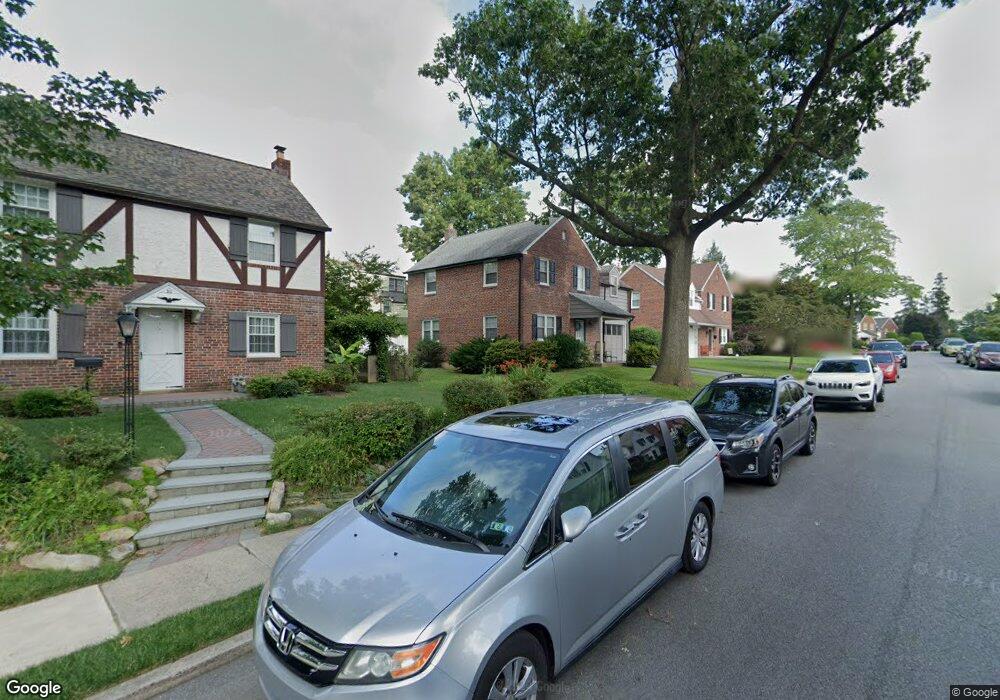
26 Mansfield Rd Lansdowne, PA 19050
Estimated Value: $288,794 - $382,000
3
Beds
1
Bath
1,537
Sq Ft
$219/Sq Ft
Est. Value
About This Home
This home is located at 26 Mansfield Rd, Lansdowne, PA 19050 and is currently estimated at $337,199, approximately $219 per square foot. 26 Mansfield Rd is a home located in Delaware County with nearby schools including Ardmore Avenue School, Penn Wood Middle School, and Penn Wood High School - Cypress Street Campus.
Ownership History
Date
Name
Owned For
Owner Type
Purchase Details
Closed on
Oct 13, 2022
Sold by
Johnson Andre T
Bought by
Johnson Andre T and Mcmillion Malikah D
Current Estimated Value
Purchase Details
Closed on
Oct 22, 2010
Sold by
Bendzick Susan J and Varani Susan
Bought by
Johnson Andre T
Home Financials for this Owner
Home Financials are based on the most recent Mortgage that was taken out on this home.
Original Mortgage
$157,874
Interest Rate
4.62%
Mortgage Type
FHA
Purchase Details
Closed on
Jun 30, 1999
Sold by
Hewlett Bruce L and Hewlett Christine A
Bought by
Bendzick Susan J
Home Financials for this Owner
Home Financials are based on the most recent Mortgage that was taken out on this home.
Original Mortgage
$80,750
Interest Rate
7.19%
Create a Home Valuation Report for This Property
The Home Valuation Report is an in-depth analysis detailing your home's value as well as a comparison with similar homes in the area
Home Values in the Area
Average Home Value in this Area
Purchase History
| Date | Buyer | Sale Price | Title Company |
|---|---|---|---|
| Johnson Andre T | $160,000 | -- | |
| Johnson Andre T | $160,000 | First American Title Ins Co | |
| Bendzick Susan J | $85,000 | Security Search & Abstract C |
Source: Public Records
Mortgage History
| Date | Status | Borrower | Loan Amount |
|---|---|---|---|
| Previous Owner | Johnson Andre T | $157,874 | |
| Previous Owner | Bendzick Susan J | $80,750 |
Source: Public Records
Tax History Compared to Growth
Tax History
| Year | Tax Paid | Tax Assessment Tax Assessment Total Assessment is a certain percentage of the fair market value that is determined by local assessors to be the total taxable value of land and additions on the property. | Land | Improvement |
|---|---|---|---|---|
| 2025 | $6,628 | $160,970 | $53,740 | $107,230 |
| 2024 | $6,628 | $160,970 | $53,740 | $107,230 |
| 2023 | $6,319 | $160,970 | $53,740 | $107,230 |
| 2022 | $6,195 | $160,970 | $53,740 | $107,230 |
| 2021 | $9,302 | $160,970 | $53,740 | $107,230 |
| 2020 | $6,189 | $94,370 | $29,580 | $64,790 |
| 2019 | $6,085 | $94,370 | $29,580 | $64,790 |
| 2018 | $5,981 | $94,370 | $0 | $0 |
| 2017 | $5,849 | $94,370 | $0 | $0 |
| 2016 | $518 | $94,370 | $0 | $0 |
| 2015 | $528 | $94,370 | $0 | $0 |
| 2014 | $518 | $94,370 | $0 | $0 |
Source: Public Records
Map
Nearby Homes
- 108 Gladstone Rd
- 233 Scottdale Rd
- 80 W Baltimore Ave Unit B510
- 257 W Greenwood Ave
- 38 W Stratford Ave
- 29 W Stratford Ave
- 182 Berkley Ave
- 185 Berkley Ave
- 49 Elberon Ave
- 82 Marple Ave
- 442 E Baltimore Ave
- 603 Montana Ave
- 805 E Penn Pines Blvd
- 271 Drexel Ave
- 3847 Dennison Ave
- 14 W Providence Rd
- 223 W Plumstead Ave
- 32 N Wycombe Ave
- 37 E Stratford Ave
- 0 Bridge St
- 30 Mansfield Rd
- 27 Deforest Rd
- 25 Deforest Rd
- 29 Deforest Rd
- 21 Deforest Rd
- 18 Mansfield Rd
- 25 Mansfield Rd
- 31 Deforest Rd
- 23 Mansfield Rd
- 27 Mansfield Rd
- 21 Mansfield Rd
- 100 Madison Rd
- 19 Mansfield Rd
- 17 Deforest Rd
- 14 Mansfield Rd
- 16 Deforest Rd
- 14 Deforest Rd
- 102 Madison Rd
- 17 Mansfield Rd
- 18 Deforest Rd