26 N Bridge St Otis, OR 97368
Rose Lodge NeighborhoodEstimated Value: $258,000 - $342,511
2
Beds
1
Bath
1,056
Sq Ft
$294/Sq Ft
Est. Value
About This Home
This home is located at 26 N Bridge St, Otis, OR 97368 and is currently estimated at $310,128, approximately $293 per square foot. 26 N Bridge St is a home located in Lincoln County with nearby schools including Oceanlake Elementary School, Taft Elementary School, and Taft High School.
Ownership History
Date
Name
Owned For
Owner Type
Purchase Details
Closed on
Oct 3, 2005
Sold by
Horn Peter J and Horn Mary Jane
Bought by
Oglesby Richard A and Oglesby Cindy L
Current Estimated Value
Home Financials for this Owner
Home Financials are based on the most recent Mortgage that was taken out on this home.
Original Mortgage
$64,000
Outstanding Balance
$33,495
Interest Rate
5.7%
Mortgage Type
Fannie Mae Freddie Mac
Estimated Equity
$276,633
Create a Home Valuation Report for This Property
The Home Valuation Report is an in-depth analysis detailing your home's value as well as a comparison with similar homes in the area
Home Values in the Area
Average Home Value in this Area
Purchase History
| Date | Buyer | Sale Price | Title Company |
|---|---|---|---|
| Oglesby Richard A | $149,000 | Wte |
Source: Public Records
Mortgage History
| Date | Status | Borrower | Loan Amount |
|---|---|---|---|
| Open | Oglesby Richard A | $64,000 |
Source: Public Records
Tax History Compared to Growth
Tax History
| Year | Tax Paid | Tax Assessment Tax Assessment Total Assessment is a certain percentage of the fair market value that is determined by local assessors to be the total taxable value of land and additions on the property. | Land | Improvement |
|---|---|---|---|---|
| 2025 | $2,058 | $143,980 | -- | -- |
| 2024 | $2,015 | $139,790 | -- | -- |
| 2023 | $1,952 | $135,720 | $0 | $0 |
| 2022 | $1,895 | $131,770 | $0 | $0 |
| 2021 | $1,797 | $127,940 | $0 | $0 |
| 2020 | $1,759 | $124,220 | $0 | $0 |
| 2019 | $1,697 | $120,610 | $0 | $0 |
| 2018 | $1,661 | $117,100 | $0 | $0 |
| 2017 | $1,585 | $113,690 | $0 | $0 |
| 2016 | $1,476 | $110,380 | $0 | $0 |
| 2015 | $1,395 | $106,510 | $0 | $0 |
| 2014 | $1,407 | $107,170 | $0 | $0 |
| 2013 | -- | $106,110 | $0 | $0 |
Source: Public Records
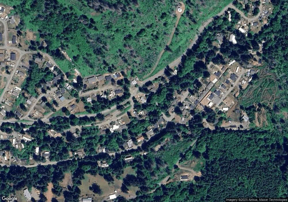
Map
Nearby Homes
- 606 N Wayside Loop
- 461 N Deerlane Dr
- 411 N Fawn Dr
- 0 N North Bank Rd Unit 600
- 351 N Charmwood Loop
- 311 N Best View Dr
- 353 N Deerlane Dr
- 360 N Deerlane Dr
- TL 200 N Echo Mountain Rd
- 0 N Echo Mountain Rd Unit TL 200
- 1091 N Echo Mountain Rd
- 946 N Echo Mountain Rd
- 3684 Salmon River Hwy
- 55 N Yodel Ln
- 79 N Echo Place
- 385 N Deer Dr
- TL 2700 N Stockton Ave
- TL 2600 N Stockton Ave
- 0 N Stockton Ave Unit 2600 24518259
- 0 N Stockton Ave Unit TL 2700
- 702 N Wayside Loop
- 50 N Bridge St
- 56 N Bridge St
- 2500 T/L N Bridge St
- 694 N Way Side Loop
- 25 N Bridge St
- 694 N Wayside Loop
- 76 Bridge St N
- 2500 T L Bridge N
- T/L 2500 Bridge St
- 1500 Blk N Panther Creek Rd
- 153 N Panther Creek Rd
- 4800 N Panther Creek Rd
- 0000 N Panther Creek Rd
- T/L 4800 N Panther Creek Rd
- 4803 T/L N Panther Creek Rd
- 100 Blk N Panther Creek Rd
- 200 N Panther Creek Rd
- 727 N Deerlane Loop