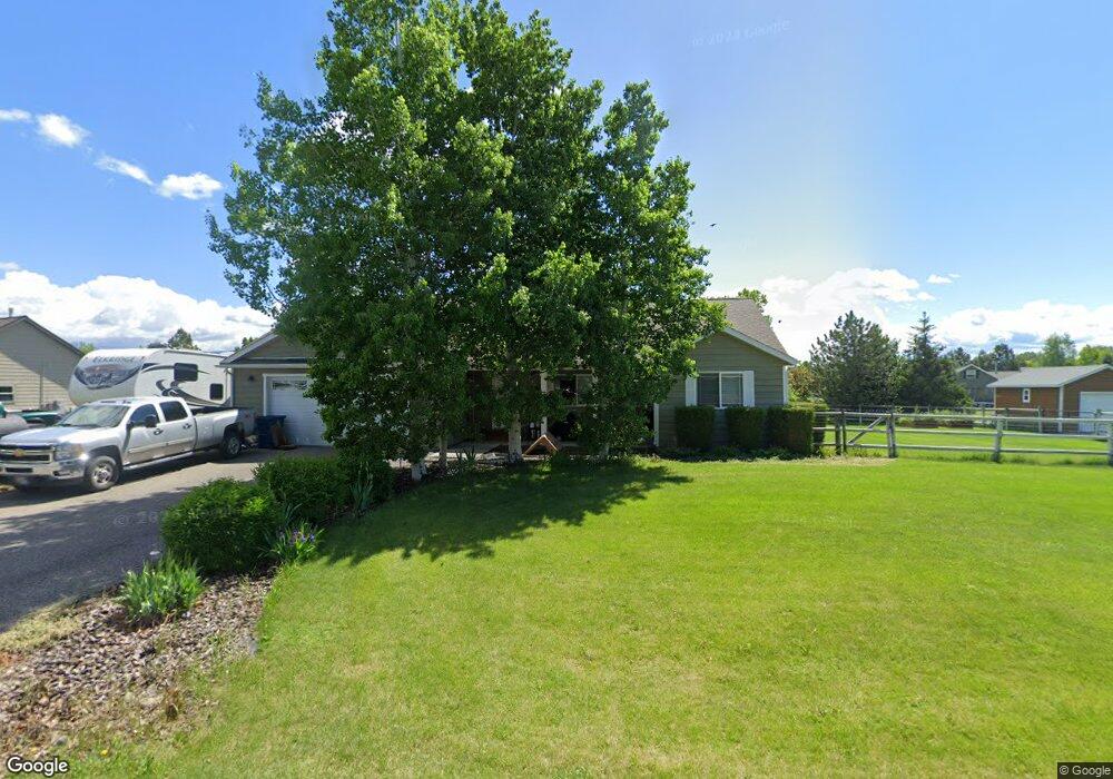
26 Old West Trail Bozeman, MT 59718
Estimated Value: $694,647 - $874,000
3
Beds
2
Baths
1,652
Sq Ft
$465/Sq Ft
Est. Value
About This Home
This home is located at 26 Old West Trail, Bozeman, MT 59718 and is currently estimated at $768,216, approximately $465 per square foot. 26 Old West Trail is a home located in Gallatin County with nearby schools including Heck/Quaw Elementary School and Belgrade High School.
Ownership History
Date
Name
Owned For
Owner Type
Purchase Details
Closed on
Oct 18, 2011
Sold by
First Interstate Bank
Bought by
Dorner Trevor D and Dorner Dee Ann
Current Estimated Value
Home Financials for this Owner
Home Financials are based on the most recent Mortgage that was taken out on this home.
Original Mortgage
$212,473
Outstanding Balance
$142,447
Interest Rate
3.75%
Mortgage Type
FHA
Estimated Equity
$625,769
Purchase Details
Closed on
Jul 6, 2011
Sold by
Walker Dodd K and Nason Nikki Dawn
Bought by
First Interstate Bank
Create a Home Valuation Report for This Property
The Home Valuation Report is an in-depth analysis detailing your home's value as well as a comparison with similar homes in the area
Home Values in the Area
Average Home Value in this Area
Purchase History
| Date | Buyer | Sale Price | Title Company |
|---|---|---|---|
| Dorner Trevor D | -- | Security Title Company | |
| First Interstate Bank | -- | Fatco |
Source: Public Records
Mortgage History
| Date | Status | Borrower | Loan Amount |
|---|---|---|---|
| Open | Dorner Trevor D | $212,473 |
Source: Public Records
Tax History Compared to Growth
Tax History
| Year | Tax Paid | Tax Assessment Tax Assessment Total Assessment is a certain percentage of the fair market value that is determined by local assessors to be the total taxable value of land and additions on the property. | Land | Improvement |
|---|---|---|---|---|
| 2025 | $2,699 | $682,500 | $0 | $0 |
| 2024 | $4,362 | $720,800 | $0 | $0 |
| 2023 | $4,348 | $720,800 | $0 | $0 |
| 2022 | $3,026 | $403,800 | $0 | $0 |
| 2021 | $3,205 | $403,800 | $0 | $0 |
| 2020 | $2,893 | $360,600 | $0 | $0 |
| 2019 | $2,946 | $360,600 | $0 | $0 |
| 2018 | $2,661 | $307,100 | $0 | $0 |
| 2017 | $2,591 | $307,100 | $0 | $0 |
| 2016 | $2,394 | $264,700 | $0 | $0 |
| 2015 | $2,231 | $264,700 | $0 | $0 |
| 2014 | $2,075 | $149,937 | $0 | $0 |
Source: Public Records
Map
Nearby Homes
- 604 Morrison Ave Unit B
- 370 Prospector Trail
- 11 Liberty Dr
- 9 Liberty Dr
- 6 Liberty Dr
- 13 Liberty Dr
- 5 Liberty Dr
- 126 Pathfinder Trail
- 16 Tailwater Dr
- 12 Pathfinder Trail
- 283 Valley Grove Dr
- 17 Tailwater Dr
- 1 Candlelight Dr
- 19 Tailwater Dr
- 339 Mountain Lion Trail
- 174 Valley Grove Dr
- 21 Tailwater Dr
- Lot 10 Riparian Way
- Lot 3 Riparian Way
- Lot 11 Riparian Way
- 76 West Trail
- 76 Old West Trail
- 33 Old West Trail
- 121 Explorer Trail
- 9 American Eagle Dr
- 33 Old Trail W
- 55 Old West Trail
- 79 Old West Trail
- 102 Old West Trail
- 11 Old West Trail
- 153 Explorer Trail
- 120 Explorer Trail
- 150 Lewis And Clark Trail
- 92 Explorer Trail
- 10 American Eagle Dr
- 28 American Eagle Dr
- 152 Explorer Trail
- 604 Morrison Ave Unit A, B, C
- 58 Explorer Trail
- 119 Lewis And Clark Trail