26 Stanford Cir Lompoc, CA 93436
Estimated Value: $478,000 - $530,000
3
Beds
2
Baths
1,435
Sq Ft
$351/Sq Ft
Est. Value
About This Home
This home is located at 26 Stanford Cir, Lompoc, CA 93436 and is currently estimated at $504,282, approximately $351 per square foot. 26 Stanford Cir is a home located in Santa Barbara County with nearby schools including Buena Vista Elementary School and Cabrillo High School.
Ownership History
Date
Name
Owned For
Owner Type
Purchase Details
Closed on
Oct 16, 2015
Sold by
Calhoun Gloria A
Bought by
Calhoun Family Trust
Current Estimated Value
Purchase Details
Closed on
Mar 22, 2011
Sold by
Atchison Linda L
Bought by
Calhoun Gloria A
Home Financials for this Owner
Home Financials are based on the most recent Mortgage that was taken out on this home.
Original Mortgage
$240,000
Outstanding Balance
$165,214
Interest Rate
4.83%
Mortgage Type
New Conventional
Estimated Equity
$339,068
Purchase Details
Closed on
Mar 18, 2011
Sold by
Calhoun Jeffrey E
Bought by
Calhoun Gloria A
Home Financials for this Owner
Home Financials are based on the most recent Mortgage that was taken out on this home.
Original Mortgage
$240,000
Outstanding Balance
$165,214
Interest Rate
4.83%
Mortgage Type
New Conventional
Estimated Equity
$339,068
Purchase Details
Closed on
Oct 23, 1998
Sold by
Newman Richard K Jr & Ruth K Living Trus
Bought by
Newman Ruth K and Newman Jeffrey C
Create a Home Valuation Report for This Property
The Home Valuation Report is an in-depth analysis detailing your home's value as well as a comparison with similar homes in the area
Home Values in the Area
Average Home Value in this Area
Purchase History
| Date | Buyer | Sale Price | Title Company |
|---|---|---|---|
| Calhoun Family Trust | -- | None Available | |
| Calhoun Gloria A | $300,000 | Fidelity National Title Co | |
| Calhoun Gloria A | -- | Fidelity National Title Co | |
| Newman Ruth K | -- | -- |
Source: Public Records
Mortgage History
| Date | Status | Borrower | Loan Amount |
|---|---|---|---|
| Open | Calhoun Gloria A | $240,000 |
Source: Public Records
Tax History Compared to Growth
Tax History
| Year | Tax Paid | Tax Assessment Tax Assessment Total Assessment is a certain percentage of the fair market value that is determined by local assessors to be the total taxable value of land and additions on the property. | Land | Improvement |
|---|---|---|---|---|
| 2025 | $4,435 | $384,340 | $224,198 | $160,142 |
| 2023 | $4,435 | $369,417 | $215,493 | $153,924 |
| 2022 | $4,363 | $362,174 | $211,268 | $150,906 |
| 2021 | $4,409 | $355,074 | $207,126 | $147,948 |
| 2020 | $4,364 | $351,434 | $205,003 | $146,431 |
| 2019 | $4,298 | $344,544 | $200,984 | $143,560 |
| 2018 | $4,237 | $337,790 | $197,044 | $140,746 |
| 2017 | $4,075 | $331,168 | $193,181 | $137,987 |
| 2016 | $3,734 | $324,676 | $189,394 | $135,282 |
| 2015 | $3,706 | $319,800 | $186,550 | $133,250 |
| 2014 | $3,652 | $313,536 | $182,896 | $130,640 |
Source: Public Records
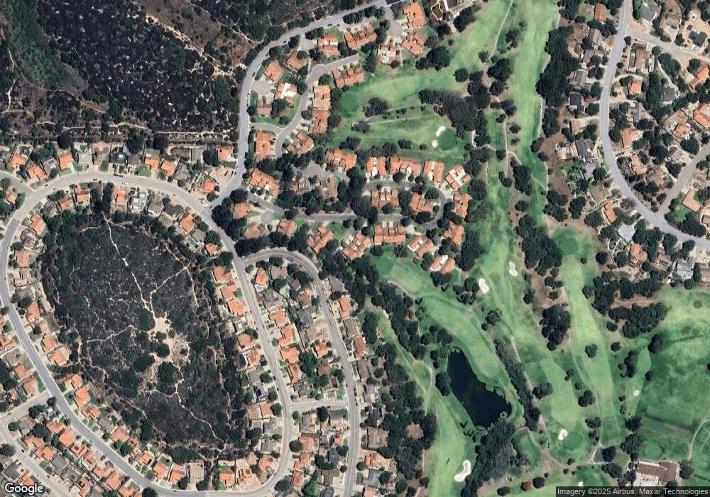
Map
Nearby Homes
- 210 Oak Hill Dr
- 220 Oak Hill Dr
- 0 Oak Hill Dr Unit 24-783
- 317 Medinah Ln
- 189 Galaxy Way
- 196 Galaxy Way
- 4185 Vanguard Dr
- 4464 Greenbrier Rd
- 445 Firestone Way
- 4533 Falcon Dr
- 3987 Agena Way
- 4123 Constellation Rd
- 4131 Oakwood Rd
- 3986 Spica Way
- 579 Saint Andrews Way
- 244 Pegasus Ave
- 3925 Clubhouse Ct
- 4406 Capricorn Ct
- 369 Falcon Crest Dr
- 3951 Mesa Circle Dr
- 24 Stanford Cir
- 22 Stanford 1weup76616e4
- 22 Stanford Cir
- 28 Stanford Cir
- 20 Stanford Cir
- 30 Stanford Cir
- 32 Stanford Cir
- 34 Stanford Cir
- 18 Stanford Cir
- 16 Stanford Cir
- 71 Stanford Cir
- 69 Stanford Cir
- 22 Aldebaran Ave
- 67 Stanford Cir
- 36 Stanford Cir
- 118 Oak Hill Dr
- 38 Stanford Cir
- 116 Oak Hill Dr
- 63 Stanford Cir