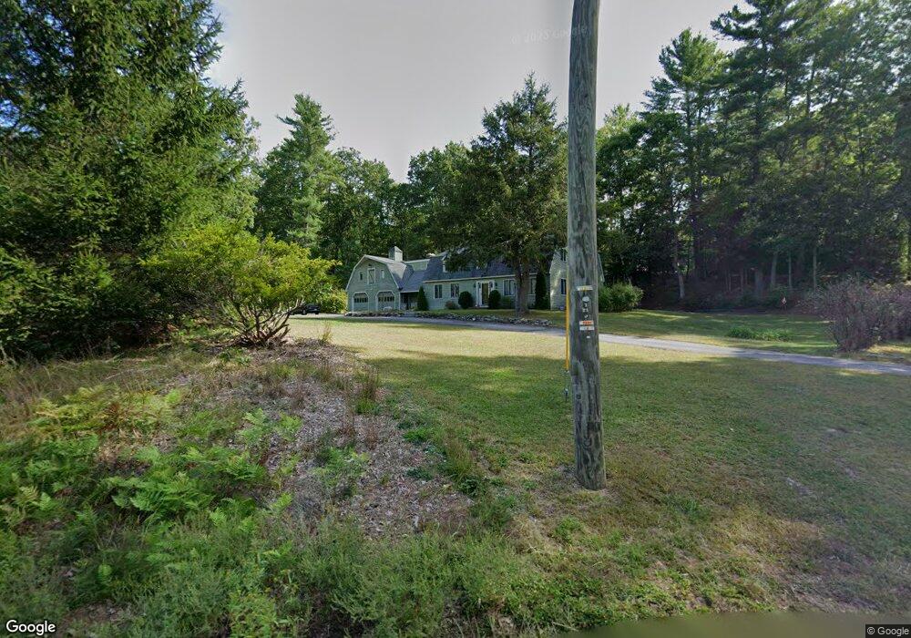
26 W Hollis Rd Hollis, NH 03049
Hollis NeighborhoodEstimated Value: $781,000 - $1,089,000
4
Beds
3
Baths
4,186
Sq Ft
$215/Sq Ft
Est. Value
About This Home
This home is located at 26 W Hollis Rd, Hollis, NH 03049 and is currently estimated at $900,640, approximately $215 per square foot. 26 W Hollis Rd is a home located in Hillsborough County with nearby schools including Hollis Primary School, Hollis Upper Elementary School, and Hollis-Brookline Middle School.
Ownership History
Date
Name
Owned For
Owner Type
Purchase Details
Closed on
Jun 29, 2009
Sold by
Us Bank Na Tr
Bought by
Entrekin Bryan E and Carroll Deborah A
Current Estimated Value
Home Financials for this Owner
Home Financials are based on the most recent Mortgage that was taken out on this home.
Original Mortgage
$224,000
Interest Rate
4.92%
Mortgage Type
Purchase Money Mortgage
Purchase Details
Closed on
Jan 30, 2009
Sold by
Archambault Bruce E
Bought by
Us Bank Na Tr
Create a Home Valuation Report for This Property
The Home Valuation Report is an in-depth analysis detailing your home's value as well as a comparison with similar homes in the area
Home Values in the Area
Average Home Value in this Area
Purchase History
| Date | Buyer | Sale Price | Title Company |
|---|---|---|---|
| Entrekin Bryan E | $280,000 | -- | |
| Us Bank Na Tr | $382,500 | -- |
Source: Public Records
Mortgage History
| Date | Status | Borrower | Loan Amount |
|---|---|---|---|
| Open | Us Bank Na Tr | $292,000 | |
| Closed | Us Bank Na Tr | $224,000 | |
| Previous Owner | Us Bank Na Tr | $525,500 | |
| Previous Owner | Us Bank Na Tr | $506,000 |
Source: Public Records
Tax History Compared to Growth
Tax History
| Year | Tax Paid | Tax Assessment Tax Assessment Total Assessment is a certain percentage of the fair market value that is determined by local assessors to be the total taxable value of land and additions on the property. | Land | Improvement |
|---|---|---|---|---|
| 2024 | $13,260 | $747,900 | $271,100 | $476,800 |
| 2023 | $12,460 | $747,900 | $271,100 | $476,800 |
| 2022 | $16,880 | $747,900 | $271,100 | $476,800 |
| 2021 | $11,627 | $512,200 | $183,900 | $328,300 |
| 2020 | $11,873 | $512,200 | $183,900 | $328,300 |
| 2019 | $11,832 | $512,200 | $183,900 | $328,300 |
| 2018 | $11,099 | $512,200 | $183,900 | $328,300 |
| 2017 | $10,418 | $450,000 | $163,900 | $286,100 |
| 2016 | $10,544 | $450,000 | $163,900 | $286,100 |
| 2015 | $10,359 | $450,000 | $163,900 | $286,100 |
| 2014 | $10,409 | $450,000 | $163,900 | $286,100 |
| 2013 | $10,269 | $450,000 | $163,900 | $286,100 |
Source: Public Records
Map
Nearby Homes
- 25 W Hollis Rd
- 32 W Hollis Rd
- 20 W Hollis Rd
- 2 Iron Works Ln
- 15 W Hollis Rd
- 36 W Hollis Rd
- 3 Blacksmith Ln
- 11 Blacksmith Ln
- 12 Blacksmith (Lot 12)
- 37 W Hollis Rd
- 13 Blacksmith Ln
- 4 Lawrence Ln
- 11 W Hollis Rd
- 13 W Hollis Rd
- 8 Lawrence Ln
- 21 (lot) Blacksmith Rd
- 4 Blacksmith Ln
- 6 Blacksmith Ln
- 6 W Hollis Rd
- 25 Blacksmith Ln