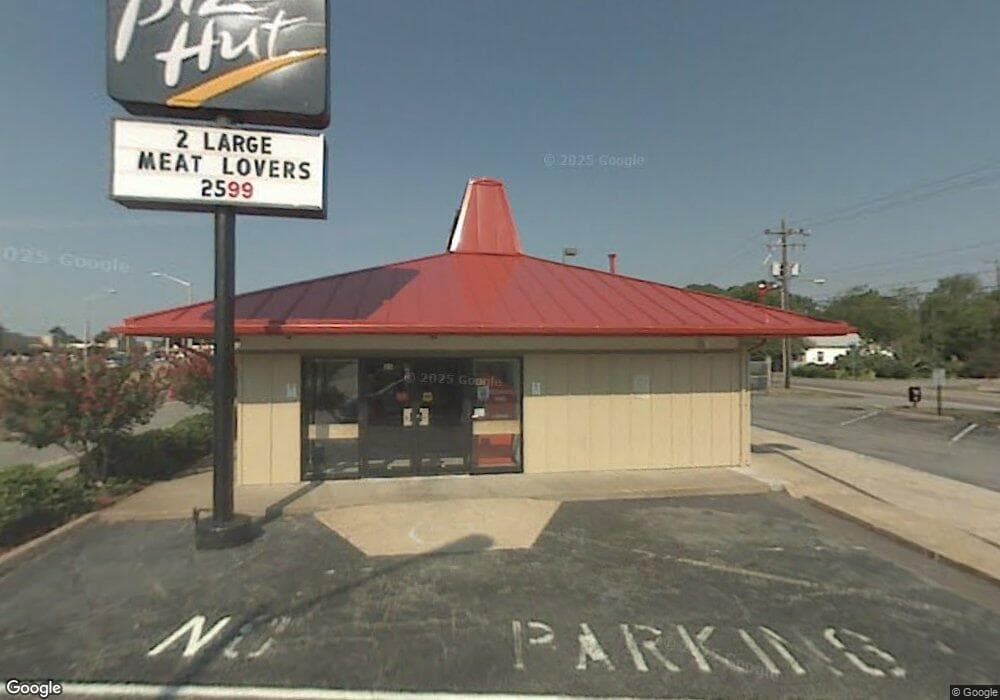
26 W Mercury Blvd Hampton, VA 23669
Old North Hampton NeighborhoodEstimated Value: $897,019
Studio
--
Bath
1,904
Sq Ft
$471/Sq Ft
Est. Value
About This Home
This home is located at 26 W Mercury Blvd, Hampton, VA 23669 and is currently estimated at $897,019, approximately $471 per square foot. 26 W Mercury Blvd is a home located in Hampton City with nearby schools including Mary S. Peake Elementary School, C. Alton Lindsay Middle School, and Kecoughtan High School.
Ownership History
Date
Name
Owned For
Owner Type
Purchase Details
Closed on
Oct 28, 2021
Sold by
Hut East Coast Llc
Bought by
Bank Of America Na
Current Estimated Value
Purchase Details
Closed on
Jun 4, 2013
Sold by
Alfred Trustee Michael A
Bought by
R And R Capital Va 1 4 Llc
Purchase Details
Closed on
Jan 12, 2011
Sold by
R & R Capital Virginia 1 4 Llc
Bought by
Alfred Michael A
Purchase Details
Closed on
Jan 14, 2009
Sold by
Npc International Inc
Bought by
R An R Capital Va
Purchase Details
Closed on
Sep 30, 2008
Sold by
Colonial Foods Real Estat
Bought by
Npc International Inc
Create a Home Valuation Report for This Property
The Home Valuation Report is an in-depth analysis detailing your home's value as well as a comparison with similar homes in the area
Home Values in the Area
Average Home Value in this Area
Purchase History
| Date | Buyer | Sale Price | Title Company |
|---|---|---|---|
| Bank Of America Na | -- | None Listed On Document | |
| R And R Capital Va 1 4 Llc | -- | -- | |
| Alfred Michael A | -- | -- | |
| R An R Capital Va | $550,000 | -- | |
| Npc International Inc | $590,854 | -- |
Source: Public Records
Tax History
| Year | Tax Paid | Tax Assessment Tax Assessment Total Assessment is a certain percentage of the fair market value that is determined by local assessors to be the total taxable value of land and additions on the property. | Land | Improvement |
|---|---|---|---|---|
| 2025 | $7,156 | $482,000 | $165,000 | $317,000 |
| 2024 | $7,338 | $638,100 | $165,000 | $473,100 |
| 2023 | $7,402 | $638,100 | $165,000 | $473,100 |
| 2022 | $7,278 | $616,800 | $165,000 | $451,800 |
| 2021 | $8,298 | $616,800 | $165,000 | $451,800 |
| 2020 | $7,648 | $616,800 | $165,000 | $451,800 |
| 2019 | $6,243 | $503,500 | $165,000 | $338,500 |
| 2018 | $6,692 | $496,300 | $137,500 | $358,800 |
| 2017 | $6,624 | $0 | $0 | $0 |
| 2016 | $6,624 | $496,300 | $0 | $0 |
| 2015 | $6,670 | $0 | $0 | $0 |
| 2014 | $6,619 | $500,000 | $117,500 | $382,500 |
Source: Public Records
Map
Nearby Homes
- 28 N Gawain Way
- 206 Lantana Ln
- 206 Lantana Ln Unit B
- 33 Clayton Dr
- 994 N King St
- 8 Saxony Place
- 113 Roane Dr Unit A
- 201 Courtney Dr
- 8 N Gawain Way
- 111 Roane Dr Unit F
- 111 Roane Dr Unit D
- 40 Crestwood Cir
- 22 Lucas Dr
- 107 Roland Dr
- 39 Longwood Dr
- 1263 N King St
- 1307 West Ave
- 845 N King St
- 10 Eberly Terrace
- 20 Pine Cone Dr
Your Personal Tour Guide
Ask me questions while you tour the home.