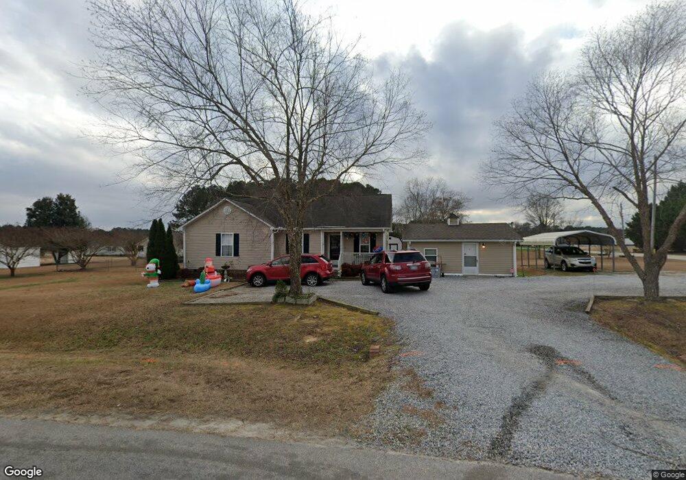
26 Weatherspoon Ln Smithfield, NC 27577
Estimated Value: $275,000 - $311,000
4
Beds
3
Baths
1,247
Sq Ft
$232/Sq Ft
Est. Value
About This Home
This home is located at 26 Weatherspoon Ln, Smithfield, NC 27577 and is currently estimated at $289,227, approximately $231 per square foot. 26 Weatherspoon Ln is a home located in Johnston County with nearby schools including Smithfield Middle School, Smithfield-Selma High School, and American Leadership Academy.
Ownership History
Date
Name
Owned For
Owner Type
Purchase Details
Closed on
Sep 25, 2018
Sold by
Hodges Delores L
Bought by
Lowe Michael L and Lowe Viola K
Current Estimated Value
Purchase Details
Closed on
Sep 22, 2003
Sold by
Lassiter Thomas
Bought by
Ashley Turner Building Co Inc
Purchase Details
Closed on
Jun 17, 2003
Sold by
Ashley Turner Building Co Inc
Bought by
Ashley Turner Development Llc
Create a Home Valuation Report for This Property
The Home Valuation Report is an in-depth analysis detailing your home's value as well as a comparison with similar homes in the area
Home Values in the Area
Average Home Value in this Area
Purchase History
| Date | Buyer | Sale Price | Title Company |
|---|---|---|---|
| Lowe Michael L | -- | None Available | |
| Ashley Turner Building Co Inc | $96,000 | -- | |
| Ashley Turner Development Llc | $25,000 | -- |
Source: Public Records
Tax History Compared to Growth
Tax History
| Year | Tax Paid | Tax Assessment Tax Assessment Total Assessment is a certain percentage of the fair market value that is determined by local assessors to be the total taxable value of land and additions on the property. | Land | Improvement |
|---|---|---|---|---|
| 2025 | $1,554 | $244,750 | $65,000 | $179,750 |
| 2024 | $1,027 | $126,850 | $33,000 | $93,850 |
| 2023 | $977 | $126,850 | $33,000 | $93,850 |
| 2022 | $1,002 | $126,850 | $33,000 | $93,850 |
| 2021 | $1,002 | $126,850 | $33,000 | $93,850 |
| 2020 | $1,040 | $126,850 | $33,000 | $93,850 |
| 2019 | $1,040 | $126,850 | $33,000 | $93,850 |
| 2018 | $880 | $104,760 | $22,000 | $82,760 |
| 2017 | $880 | $104,760 | $22,000 | $82,760 |
| 2016 | $861 | $102,480 | $22,000 | $80,480 |
| 2015 | $861 | $102,480 | $22,000 | $80,480 |
| 2014 | $861 | $102,480 | $22,000 | $80,480 |
Source: Public Records
Map
Nearby Homes
- 241 Bear Oak Dr
- 85 Dropseed Ln
- 300 Babbling Brook Dr
- 292 Babbling Brook Dr
- 284 Babbling Brook Dr
- 160 Gladstone Loop
- 156 Gladstone Loop
- 142 Jade St
- 261 Babbling Brook Dr
- 168 Jon Dr
- 126 Gladstone Loop
- 243 Babbling Brook Dr
- 241 Babbling Brook Dr
- 215 Bedstone Way
- 207 Bedstone Way
- 203 Bedstone Way
- 219 Bedstone Way
- 109 S Harvest Ridge Way Unit Homesite 318
- 109 S Harvest Ridge Way
- 133 Gladstone Loop
- 22 Waber Ct
- 1651 Swift Creek Rd
- 23 Weatherspoon Ln
- 40 Waber Ct
- 47 Weatherspoon Ln
- 1610 Swift Creek Rd
- 1656 Swift Creek Rd
- 69 Weatherspoon Ln
- 91 Weatherspoon Ln
- 96 Weatherspoon Ln
- 60 Waber Ct
- 1705 Swift Creek Rd
- 1696 Swift Creek Rd
- 127 Weatherspoon Ln
- 128 Weatherspoon Ln
- 82 Waber Ct
- 71 Waber Ct
- 160 Weatherspoon Ln
- 104 Waber Ct
- 1727 Swift Creek Rd