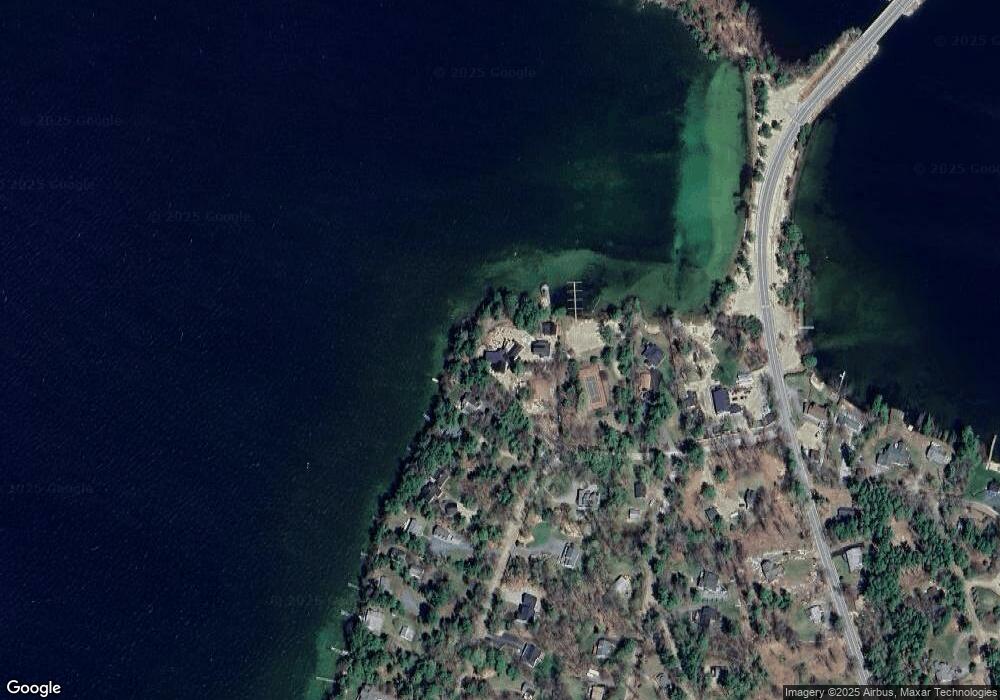
26 West Point Rd Moultonborough, NH 03254
Estimated Value: $3,141,775 - $4,631,000
--
Bed
--
Bath
--
Sq Ft
1.9
Acres
About This Home
This home is located at 26 West Point Rd, Moultonborough, NH 03254 and is currently estimated at $3,886,388. 26 West Point Rd is a home located in Carroll County with nearby schools including Moultonborough Central School and Moultonborough Academy High School.
Create a Home Valuation Report for This Property
The Home Valuation Report is an in-depth analysis detailing your home's value as well as a comparison with similar homes in the area
Home Values in the Area
Average Home Value in this Area
Tax History Compared to Growth
Map
Nearby Homes
- 16 Long Island Rd
- 10 Woodridge Rd
- 167 Long Island Rd
- 00 Beede Rd
- 00 Rivers Rd
- 9 Starboard Ln Unit 1
- 31 Rays Way
- 14 Island View Dr
- 5 Ferry Rd
- 7 Flint Dr
- 19 Wawbeek Rd Unit one
- 29 Kona Farm Rd
- 4 Mill Pond Rd
- 323 Governor Wentworth Hwy
- 27 First Point Rd
- 21 Orton Ln
- 67 Hoyt Mill Rd
- 9 Lady Slipper Ln
- 4 Partridge Berry Cir
- 11 Geery Ln
- 26 West Point Rd
- 28 W Point Rd
- 14 W Point Rd
- 30 W Point Rd
- 29 West Point Rd
- 84 W Point Rd
- 6 Woodrin Rd
- 36 West Point Rd
- 33 W Point Rd
- 33 West Point Rd
- 78 Long Island Rd
- 14 Woodrin Rd
- 9 West Point Rd
- 9 W Point Rd
- 42 West Point Rd
- 75 Long Island Rd Unit 75
- 37 West Point Rd
- 55 Long Island Rd
- 7 Tall Pine Rd
- 79 Long Island Rd