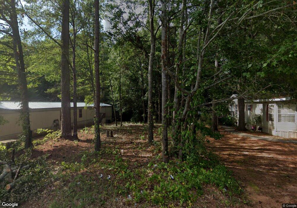
260 Cedar Ridge Anderson, SC 29621
Estimated Value: $89,000 - $440,000
--
Bed
--
Bath
--
Sq Ft
6,534
Sq Ft Lot
About This Home
This home is located at 260 Cedar Ridge, Anderson, SC 29621 and is currently estimated at $264,500. 260 Cedar Ridge is a home located in Anderson County with nearby schools including Nevitt Forest Elementary School, Glenview Middle School, and T.L. Hanna High School.
Ownership History
Date
Name
Owned For
Owner Type
Purchase Details
Closed on
Jul 26, 2024
Sold by
Browder Edward C
Bought by
Ap Hold Investment Llc
Current Estimated Value
Purchase Details
Closed on
Sep 14, 2017
Sold by
Anderson County Forfeited Land Commissio and Phillips Jason P
Bought by
Browder Edward C
Purchase Details
Closed on
Sep 13, 2017
Sold by
Collins Michael Harvey
Bought by
Anderson County Forfeited Land Commissio
Purchase Details
Closed on
Jan 26, 2015
Sold by
Sellers Jennifer
Bought by
Collins Michael Harvey
Purchase Details
Closed on
Dec 30, 2013
Sold by
Anderson County Forfeited Land Commissio
Bought by
Greene Travis
Purchase Details
Closed on
Dec 18, 2013
Sold by
Anderson County Treasurer
Bought by
Anderson County Forfeited Land Commis
Purchase Details
Closed on
Sep 12, 2005
Sold by
Culberson Melissa C
Bought by
Cedar Ridge Estates Inc
Create a Home Valuation Report for This Property
The Home Valuation Report is an in-depth analysis detailing your home's value as well as a comparison with similar homes in the area
Home Values in the Area
Average Home Value in this Area
Purchase History
| Date | Buyer | Sale Price | Title Company |
|---|---|---|---|
| Ap Hold Investment Llc | $8,000 | None Listed On Document | |
| Browder Edward C | $115 | None Available | |
| Anderson County Forfeited Land Commissio | $897 | None Available | |
| Collins Michael Harvey | -- | -- | |
| Greene Travis | $850 | -- | |
| Anderson County Forfeited Land Commis | -- | -- | |
| Cedar Ridge Estates Inc | $60,000 | -- |
Source: Public Records
Tax History Compared to Growth
Tax History
| Year | Tax Paid | Tax Assessment Tax Assessment Total Assessment is a certain percentage of the fair market value that is determined by local assessors to be the total taxable value of land and additions on the property. | Land | Improvement |
|---|---|---|---|---|
| 2024 | $200 | $430 | $430 | $0 |
| 2023 | $146 | $430 | $430 | $0 |
| 2022 | $144 | $430 | $430 | $0 |
| 2021 | $129 | $300 | $300 | $0 |
| 2020 | $128 | $300 | $300 | $0 |
| 2019 | $128 | $300 | $300 | $0 |
| 2018 | $127 | $300 | $300 | $0 |
| 2017 | -- | $360 | $360 | $0 |
| 2016 | $151 | $600 | $600 | $0 |
| 2015 | $253 | $600 | $600 | $0 |
| 2014 | $250 | $600 | $600 | $0 |
Source: Public Records
Map
Nearby Homes
- 0 Highway 29 N Unit 20292906
- 0 Highway 29 N Unit 22331557
- 0 Highway 29 N Unit 22331558
- 0 Highway 29 N Unit 22331556
- 606 Highway 29 Bypass N
- 207 Durness Ct
- 535 Fairmont Rd
- 335 Ritter Ln
- 2703 Leftwich Ln
- 1001 Cox Ave
- ANTHONY B Plan at Palmetto Valley
- BAILEY Plan at Palmetto Valley
- DAKOTA Plan at Palmetto Valley
- HUNTINGTON Plan at Palmetto Valley
- TIMBERWOOD Plan at Palmetto Valley
- OAKLAND A Plan at Palmetto Valley
- OAKLAND B Plan at Palmetto Valley
- 1300 Belhaven Rd
- 1005 Pinecroft Dr
- 203 Durness Ct
- 0 Cedar Ridge
- 212 Cedar Ridge
- 213 Cedar Ridge
- 210 Cedar Ridge
- 209 Cedar Ridge
- 208 Cedar Ridge
- 216 Cedar Ridge
- 337 Cedar Ridge
- 339 Cedar Ridge
- 341 Cedar Ridge
- 218 Cedar Ridge
- 205 Cedar Ridge
- 343 Cedar Ridge
- 335 Cedar Ridge
- 219 Cedar Ridge
- 220 Cedar Ridge
- 345 Cedar Ridge
- 347 Cedar Ridge
- 221 Cedar Ridge
- 333 Cedar Ridge