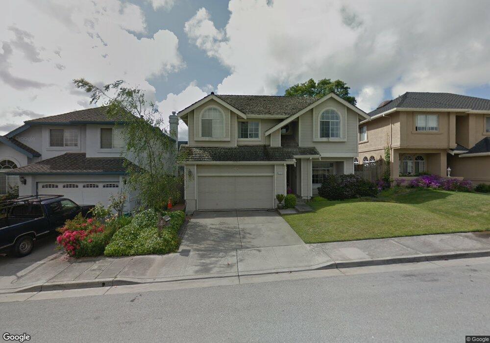
260 Paloma Way Watsonville, CA 95076
Estimated Value: $832,000 - $1,018,000
4
Beds
4
Baths
2,280
Sq Ft
$414/Sq Ft
Est. Value
About This Home
This home is located at 260 Paloma Way, Watsonville, CA 95076 and is currently estimated at $943,457, approximately $413 per square foot. 260 Paloma Way is a home located in Santa Cruz County with nearby schools including T.S. Macquiddy Elementary School, E.A. Hall Middle School, and Watsonville High School.
Ownership History
Date
Name
Owned For
Owner Type
Purchase Details
Closed on
Dec 2, 1996
Sold by
Selden William L and Selden Lisa M
Bought by
Nelsen Mark D and Nelsen Marsha R
Current Estimated Value
Home Financials for this Owner
Home Financials are based on the most recent Mortgage that was taken out on this home.
Original Mortgage
$188,000
Outstanding Balance
$19,213
Interest Rate
7.76%
Estimated Equity
$924,244
Create a Home Valuation Report for This Property
The Home Valuation Report is an in-depth analysis detailing your home's value as well as a comparison with similar homes in the area
Home Values in the Area
Average Home Value in this Area
Purchase History
| Date | Buyer | Sale Price | Title Company |
|---|---|---|---|
| Nelsen Mark D | $260,000 | Santa Cruz Title Company |
Source: Public Records
Mortgage History
| Date | Status | Borrower | Loan Amount |
|---|---|---|---|
| Open | Nelsen Mark D | $188,000 |
Source: Public Records
Tax History Compared to Growth
Tax History
| Year | Tax Paid | Tax Assessment Tax Assessment Total Assessment is a certain percentage of the fair market value that is determined by local assessors to be the total taxable value of land and additions on the property. | Land | Improvement |
|---|---|---|---|---|
| 2025 | $4,941 | $431,610 | $215,805 | $215,805 |
| 2023 | $4,865 | $414,850 | $207,425 | $207,425 |
| 2022 | $4,778 | $406,714 | $203,357 | $203,357 |
| 2021 | $4,697 | $398,740 | $199,370 | $199,370 |
| 2020 | $4,629 | $394,652 | $197,326 | $197,326 |
| 2019 | $4,546 | $386,914 | $193,457 | $193,457 |
| 2018 | $4,431 | $379,326 | $189,663 | $189,663 |
| 2017 | $4,392 | $371,888 | $185,944 | $185,944 |
| 2016 | $4,276 | $364,596 | $182,298 | $182,298 |
| 2015 | $4,261 | $359,120 | $179,560 | $179,560 |
| 2014 | $4,168 | $352,086 | $176,043 | $176,043 |
Source: Public Records
Map
Nearby Homes
- 1201 Brewington Ave
- 1060 Sunbird Dr
- 176 Crestview Ct
- 229 Bronson St
- 35 Sycamore St
- 254 Rogers Ave
- 20 Marin St
- 38 Clifford Ave
- 49 Blanca Ln Unit 310
- 49 Blanca Ln Unit 523
- 49 Blanca Ln Unit 715
- 417 Annie Dr
- 34 Kenyon Ave
- 202 Stanford St
- 708 Hill Ave
- 67 Roosevelt St
- 45 Crescent Dr
- 101 Toscano Loop
- 932 Lincoln St
- 145 Alma St
- 240 Paloma Way
- 1175 Brewington Ave
- 1165 Brewington Ave
- 220 Paloma Way
- 1145 Brewington Ave
- 1150 Sunbird Dr
- 1170 Sunbird Dr
- 261 Paloma Way
- 1130 Sunbird Dr
- 1125 Brewington Ave
- 241 Paloma Way
- 221 Paloma Way
- 1120 Sunbird Dr
- 201 Paloma Way
- 261 Jasmine Ln
- 1105 Brewington Ave
- 241 Jasmine Ln
- 221 Jasmine Ln
- 145 Paloma Way
- 1165 Sunbird Dr