260 Stoney Trail Maylene, AL 35114
Estimated Value: $294,611 - $309,000
--
Bed
--
Bath
2,026
Sq Ft
$149/Sq Ft
Est. Value
About This Home
This home is located at 260 Stoney Trail, Maylene, AL 35114 and is currently estimated at $302,153, approximately $149 per square foot. 260 Stoney Trail is a home located in Shelby County with nearby schools including Thompson Intermediate School, Thompson Middle School, and Thompson High School.
Ownership History
Date
Name
Owned For
Owner Type
Purchase Details
Closed on
Sep 16, 2020
Sold by
Lacagnina Faye and Lacagnina Richard
Bought by
Mccurry David Earl and Morgan Tina Louise
Current Estimated Value
Purchase Details
Closed on
Nov 3, 2006
Sold by
Adams Homes Llc
Bought by
Lacagnina Richard and Lacagnina Faye
Home Financials for this Owner
Home Financials are based on the most recent Mortgage that was taken out on this home.
Original Mortgage
$113,000
Interest Rate
6.33%
Mortgage Type
New Conventional
Create a Home Valuation Report for This Property
The Home Valuation Report is an in-depth analysis detailing your home's value as well as a comparison with similar homes in the area
Home Values in the Area
Average Home Value in this Area
Purchase History
| Date | Buyer | Sale Price | Title Company |
|---|---|---|---|
| Mccurry David Earl | -- | None Available | |
| Lacagnina Richard | $113,000 | None Available |
Source: Public Records
Mortgage History
| Date | Status | Borrower | Loan Amount |
|---|---|---|---|
| Previous Owner | Lacagnina Richard | $113,000 |
Source: Public Records
Tax History Compared to Growth
Tax History
| Year | Tax Paid | Tax Assessment Tax Assessment Total Assessment is a certain percentage of the fair market value that is determined by local assessors to be the total taxable value of land and additions on the property. | Land | Improvement |
|---|---|---|---|---|
| 2024 | $1,542 | $28,560 | $0 | $0 |
| 2023 | -- | $26,840 | $0 | $0 |
| 2022 | $0 | $22,120 | $0 | $0 |
| 2021 | $691 | $19,920 | $0 | $0 |
| 2020 | $691 | $19,060 | $0 | $0 |
| 2019 | $691 | $18,500 | $0 | $0 |
| 2017 | $645 | $17,520 | $0 | $0 |
| 2015 | $613 | $16,860 | $0 | $0 |
| 2014 | $767 | $16,460 | $0 | $0 |
Source: Public Records
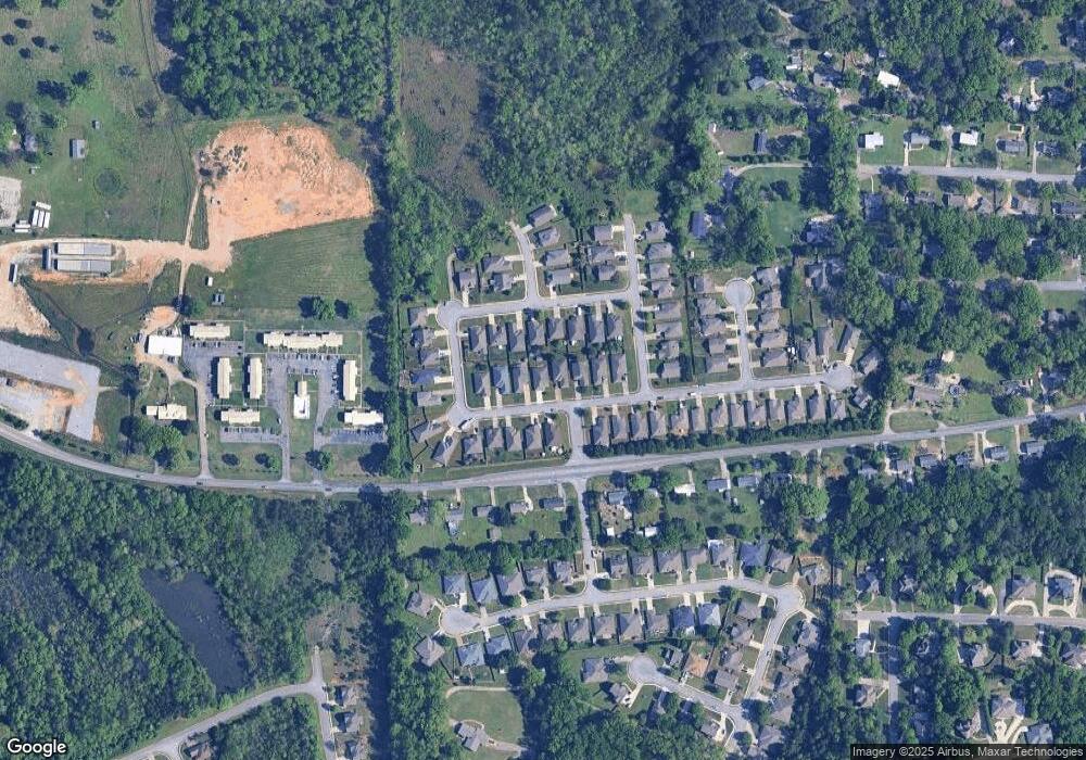
Map
Nearby Homes
- 220 Cedar Meadow
- 202 Stoney Trail
- 256 Cedar Meadow
- 2014 1st Ave W
- 112 Kingsley Ct
- 1807 Apache Way
- 1805 Mohawk Dr
- 493 Ramsgate Dr
- 109 Kingsley Cir
- 220 Navajo Pines Dr
- 217 Mayfair Park
- 208 Queens Gate
- 501 Ramsgate Dr
- 304 Mayfair Cir
- 236 Queens Gate
- 233 Norwick Forest Dr
- 537 Ramsgate Dr
- 155 Victoria Station
- 309 Cedar Grove Ct
- 545 Ramsgate Dr
- 256 Stoney Trail
- 264 Stoney Trail
- 252 Stoney Trail
- 268 Stoney Trail
- 320 Stoney Trail
- 320 Stoney Trail Unit 51
- 312 Stoney Trail Unit 49
- 308 Stoney Trail
- 308 Stoney Trail Unit 48
- 290 Stoney Trail
- 324 Stoney Trail
- 261 Stoney Trail Unit 73
- 261 Stoney Trail
- 248 Stoney Trail
- 257 Stoney Trail
- 265 Stoney Trail Unit 72
- 265 Stoney Trail
- 304 Stoney Trail
- 328 Stoney Trail
- 269 Stoney Trail