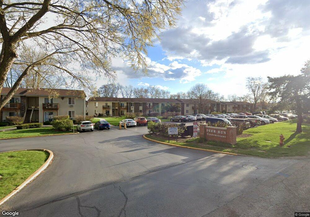
2600 Light Rd Unit 203 Oswego, IL 60543
Northwest Oswego NeighborhoodEstimated Value: $159,727 - $173,000
2
Beds
1
Bath
964
Sq Ft
$172/Sq Ft
Est. Value
About This Home
This home is located at 2600 Light Rd Unit 203, Oswego, IL 60543 and is currently estimated at $165,576, approximately $171 per square foot. 2600 Light Rd Unit 203 is a home located in Kendall County with nearby schools including Fox Chase Elementary School, Traughber Junior High School, and Oswego High School.
Ownership History
Date
Name
Owned For
Owner Type
Purchase Details
Closed on
Oct 12, 2000
Sold by
Koch Kathleen M
Bought by
Young Karen D
Current Estimated Value
Home Financials for this Owner
Home Financials are based on the most recent Mortgage that was taken out on this home.
Original Mortgage
$68,350
Outstanding Balance
$24,998
Interest Rate
7.96%
Mortgage Type
FHA
Estimated Equity
$140,578
Purchase Details
Closed on
Sep 14, 1999
Sold by
American National Bk&Tr Co Of Chicago
Bought by
Koch Kathleen M
Home Financials for this Owner
Home Financials are based on the most recent Mortgage that was taken out on this home.
Original Mortgage
$63,900
Interest Rate
7.5%
Create a Home Valuation Report for This Property
The Home Valuation Report is an in-depth analysis detailing your home's value as well as a comparison with similar homes in the area
Home Values in the Area
Average Home Value in this Area
Purchase History
| Date | Buyer | Sale Price | Title Company |
|---|---|---|---|
| Young Karen D | $70,000 | Ticor Title Insurance Compan | |
| Koch Kathleen M | $71,500 | Chicago Title Insurance Co |
Source: Public Records
Mortgage History
| Date | Status | Borrower | Loan Amount |
|---|---|---|---|
| Open | Young Karen D | $68,350 | |
| Previous Owner | Koch Kathleen M | $63,900 |
Source: Public Records
Tax History Compared to Growth
Tax History
| Year | Tax Paid | Tax Assessment Tax Assessment Total Assessment is a certain percentage of the fair market value that is determined by local assessors to be the total taxable value of land and additions on the property. | Land | Improvement |
|---|---|---|---|---|
| 2024 | $2,478 | $37,302 | $2,231 | $35,071 |
| 2023 | $1,784 | $28,694 | $1,716 | $26,978 |
| 2022 | $1,784 | $26,085 | $1,560 | $24,525 |
| 2021 | $1,735 | $24,843 | $1,486 | $23,357 |
| 2020 | $1,663 | $23,888 | $1,429 | $22,459 |
| 2019 | $1,802 | $25,071 | $1,429 | $23,642 |
| 2018 | $801 | $14,619 | $833 | $13,786 |
| 2017 | $755 | $13,474 | $768 | $12,706 |
| 2016 | $640 | $12,249 | $698 | $11,551 |
| 2015 | $520 | $10,840 | $618 | $10,222 |
| 2014 | -- | $10,226 | $583 | $9,643 |
| 2013 | -- | $12,031 | $686 | $11,345 |
Source: Public Records
Map
Nearby Homes
- 2600 Light Rd Unit 210
- 2300 Light Rd Unit 209
- 2100 Light Rd Unit 109
- 7.43 Acres Vacant La State Route 31
- 11-13 W Anchor Rd
- 1415 State Route 31
- 5.43 B-3 Commercial State Route 31
- 107 Kristine St
- 173 Dolores St
- 141 River Mist Dr
- 156 River Mist Dr
- 9 Cebold Dr
- 38 Ashlawn Ave
- 608 Clearwater Ct
- 2110 State Route 31
- 602 Clearwater Ct Unit 2
- 458 Greenview Ln
- 119 Garden Dr
- 3 Scarsdale Rd
- 435 Fawn Dr
- 2600 Light Rd Unit 209
- 2600 Light Rd Unit 211
- 2600 Light Rd Unit 107
- 2600 Light Rd Unit 105
- 2600 Light Rd Unit 204
- 2600 Light Rd Unit 212
- 2600 Light Rd Unit 102
- 2600 Light Rd Unit 206
- 2600 Light Rd Unit 111
- 2600 Light Rd Unit 205
- 2600 Light Rd Unit 201
- 2600 Light Rd Unit 108
- 2600 Light Rd Unit 110
- 2600 Light Rd Unit 112
- 2600 Light Rd Unit 101
- 2600 Light Rd Unit 109
- 2600 Light Rd Unit 202
- 2600 Light Rd Unit 207
- 2600 Light Rd Unit 208
- 2600 Light Rd Unit 104