2600 Pheasant Loop Westcliffe, CO 81252
Estimated Value: $1,414,405 - $2,007,000
4
Beds
7
Baths
5,412
Sq Ft
$309/Sq Ft
Est. Value
About This Home
This home is located at 2600 Pheasant Loop, Westcliffe, CO 81252 and is currently estimated at $1,670,135, approximately $308 per square foot. 2600 Pheasant Loop is a home located in Custer County with nearby schools including Custer County Elementary School, Custer Middle School, and Custer County High School.
Ownership History
Date
Name
Owned For
Owner Type
Purchase Details
Closed on
Aug 25, 2022
Sold by
Hazen Andrew Allen
Bought by
Andrew And Laura Hazen Trust
Current Estimated Value
Purchase Details
Closed on
Mar 5, 2021
Sold by
Wallestad Jon E
Bought by
Hazen Laura Jean and Hazen Andrew Allen
Home Financials for this Owner
Home Financials are based on the most recent Mortgage that was taken out on this home.
Original Mortgage
$770,000
Interest Rate
2.7%
Mortgage Type
New Conventional
Create a Home Valuation Report for This Property
The Home Valuation Report is an in-depth analysis detailing your home's value as well as a comparison with similar homes in the area
Purchase History
| Date | Buyer | Sale Price | Title Company |
|---|---|---|---|
| Andrew And Laura Hazen Trust | -- | -- | |
| Hazen Laura Jean | -- | None Available | |
| Hazen Laura Jean | $1,208,000 | None Listed On Document |
Source: Public Records
Mortgage History
| Date | Status | Borrower | Loan Amount |
|---|---|---|---|
| Previous Owner | Hazen Laura Jean | $770,000 |
Source: Public Records
Tax History
| Year | Tax Paid | Tax Assessment Tax Assessment Total Assessment is a certain percentage of the fair market value that is determined by local assessors to be the total taxable value of land and additions on the property. | Land | Improvement |
|---|---|---|---|---|
| 2025 | $5,669 | $83,860 | $0 | $0 |
| 2024 | $5,195 | $86,140 | $0 | $0 |
| 2023 | $5,195 | $86,140 | $0 | $0 |
| 2022 | $5,447 | $84,510 | $7,550 | $76,960 |
| 2021 | $5,113 | $84,510 | $7,550 | $76,960 |
| 2020 | $4,641 | $78,240 | $7,550 | $70,690 |
| 2019 | $4,617 | $78,240 | $7,550 | $70,690 |
| 2018 | $3,955 | $67,750 | $7,600 | $60,150 |
| 2017 | $3,834 | $67,744 | $7,603 | $60,141 |
| 2016 | $3,983 | $73,410 | $7,570 | $65,840 |
| 2015 | -- | $922,215 | $95,040 | $827,175 |
| 2012 | $4,507 | $950,687 | $105,600 | $845,087 |
Source: Public Records
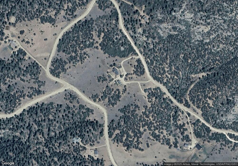
Map
Nearby Homes
- 2613 Pheasant Loop
- 1301 Pheasant Loop
- 278 Blue Grouse Cir
- 750 Roundup Rd
- 68600 Colorado 69
- 870 Oak Dr
- 68600 State Highway 69
- 325 Mcmurtrie Rd
- 188 Looters Ln
- 5155 County Road 215
- 581 Corral S
- 0 Corral N Unit REC4003395
- 0 Corral N Unit 5584754
- 1491 Oak Dr
- 5250 Oak Grove Cir
- TBD Lot 34 Corral N
- 1806 Corral Rd N
- TBD Lot 25 Corral N
- 5010 Oak Grove Cir
- TBD Palmer Rd
- 2600 Pheasant Loop
- 200 Lot 18 Pheasant
- 200 Pheasant Loop
- 2600 Fka Pheasant Loop
- 0 Wild Turkey Rd Unit 2660223
- 0 Wild Turkey Rd Unit 1 136473
- 0 Wild Turkey Rd Unit 3255071
- 1520 Wild Turkey Rd
- Lot 40 N Pheasant Loop Unit 40
- 2410 Pheasant Loop
- 114 Merriam Turkey Rd
- 1880 Pheasant Loop
- 475 Merriam Turkey Rd
- 0 Merriam Turkey Rd
- 151 Merriam Turkey Rd
- 1830 Wild Turkey Rd
- 1051 Wild Turkey Rd
- 260 Merriam Turkey Rd
- 1705 Pheasant Loop
- 205 Kestrel Ct
Your Personal Tour Guide
Ask me questions while you tour the home.