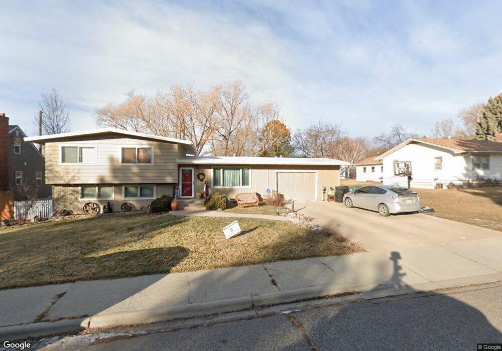
2602 Olson Dr Billings, MT 59102
North Central Billings NeighborhoodEstimated Value: $392,027 - $409,000
3
Beds
3
Baths
2,400
Sq Ft
$166/Sq Ft
Est. Value
About This Home
This home is located at 2602 Olson Dr, Billings, MT 59102 and is currently estimated at $398,507, approximately $166 per square foot. 2602 Olson Dr is a home located in Yellowstone County with nearby schools including Boulder School, Will James Junior High School, and Billings Senior High School.
Ownership History
Date
Name
Owned For
Owner Type
Purchase Details
Closed on
Aug 3, 2021
Sold by
Toennis Paul E and Toennis Jennifer L
Bought by
Brown Scott and Brown Cindy M
Current Estimated Value
Home Financials for this Owner
Home Financials are based on the most recent Mortgage that was taken out on this home.
Original Mortgage
$262,500
Outstanding Balance
$237,772
Interest Rate
2.93%
Mortgage Type
New Conventional
Estimated Equity
$160,735
Create a Home Valuation Report for This Property
The Home Valuation Report is an in-depth analysis detailing your home's value as well as a comparison with similar homes in the area
Home Values in the Area
Average Home Value in this Area
Purchase History
| Date | Buyer | Sale Price | Title Company |
|---|---|---|---|
| Brown Scott | -- | Chicago Title |
Source: Public Records
Mortgage History
| Date | Status | Borrower | Loan Amount |
|---|---|---|---|
| Open | Brown Scott | $262,500 |
Source: Public Records
Tax History
| Year | Tax Paid | Tax Assessment Tax Assessment Total Assessment is a certain percentage of the fair market value that is determined by local assessors to be the total taxable value of land and additions on the property. | Land | Improvement |
|---|---|---|---|---|
| 2025 | $3,445 | $420,900 | $57,318 | $363,582 |
| 2024 | $3,445 | $341,000 | $54,439 | $286,561 |
| 2023 | $3,448 | $341,000 | $54,439 | $286,561 |
| 2022 | $2,851 | $302,000 | $0 | $0 |
| 2021 | $2,674 | $240,300 | $0 | $0 |
| 2020 | $2,809 | $243,200 | $0 | $0 |
| 2019 | $2,687 | $243,200 | $0 | $0 |
| 2018 | $2,460 | $215,800 | $0 | $0 |
| 2017 | $1,998 | $215,800 | $0 | $0 |
| 2016 | $2,141 | $192,200 | $0 | $0 |
| 2015 | $2,097 | $192,200 | $0 | $0 |
| 2014 | $2,086 | $102,766 | $0 | $0 |
Source: Public Records
Map
Nearby Homes
- 3107 Poly Dr
- 2830 Arrowhead Meadows Dr
- 2515 Copper Blvd
- 3116 Boulder Ave Unit 5
- 3105 Colton Blvd
- 2509 Zimmerman Trail
- 3101 Mcbride St
- 2745 Zimmerman Trail
- 2510 Zimmerman Trail
- 3065 Gregory Dr W
- 2829 Poly Dr
- 3441 Poly Dr Unit 15
- 2815 Palm Dr
- 3503 Poly Dr
- 2021 Glendale Ln
- 3210 Durland Dr
- 2585 Avalon Rd
- 3246 Parkhill Dr
- 2748 Palm Dr
- 3033 Avenue F
Your Personal Tour Guide
Ask me questions while you tour the home.