2605 Old Westfield Rd Pilot Mountain, NC 27041
Estimated Value: $368,000 - $540,000
4
Beds
2
Baths
1,824
Sq Ft
$261/Sq Ft
Est. Value
About This Home
This home is located at 2605 Old Westfield Rd, Pilot Mountain, NC 27041 and is currently estimated at $475,406, approximately $260 per square foot. 2605 Old Westfield Rd is a home with nearby schools including Westfield Elementary School, Pilot Mountain Middle School, and East Surry High School.
Ownership History
Date
Name
Owned For
Owner Type
Purchase Details
Closed on
Aug 22, 2007
Sold by
Shelton Kenneth Wade and Shelton Susan Hunter
Bought by
Hall Michael L and Hall Karen L
Current Estimated Value
Home Financials for this Owner
Home Financials are based on the most recent Mortgage that was taken out on this home.
Original Mortgage
$56,800
Interest Rate
6.25%
Mortgage Type
Adjustable Rate Mortgage/ARM
Purchase Details
Closed on
Jul 1, 1952
Create a Home Valuation Report for This Property
The Home Valuation Report is an in-depth analysis detailing your home's value as well as a comparison with similar homes in the area
Home Values in the Area
Average Home Value in this Area
Purchase History
| Date | Buyer | Sale Price | Title Company |
|---|---|---|---|
| Hall Michael L | $60,500 | None Available | |
| -- | -- | -- |
Source: Public Records
Mortgage History
| Date | Status | Borrower | Loan Amount |
|---|---|---|---|
| Closed | Hall Michael L | $56,800 |
Source: Public Records
Tax History Compared to Growth
Tax History
| Year | Tax Paid | Tax Assessment Tax Assessment Total Assessment is a certain percentage of the fair market value that is determined by local assessors to be the total taxable value of land and additions on the property. | Land | Improvement |
|---|---|---|---|---|
| 2024 | $2,222 | $334,130 | $62,240 | $271,890 |
| 2023 | $2,185 | $334,130 | $62,240 | $271,890 |
| 2022 | $2,185 | $334,130 | $62,240 | $271,890 |
| 2021 | $2,222 | $334,130 | $62,240 | $271,890 |
| 2020 | $2,180 | $314,980 | $54,110 | $260,870 |
| 2019 | $2,174 | $314,980 | $0 | $0 |
| 2018 | $1,882 | $284,180 | $0 | $0 |
| 2017 | $1,855 | $284,180 | $0 | $0 |
| 2016 | $1,855 | $284,180 | $0 | $0 |
| 2013 | -- | $289,300 | $0 | $0 |
Source: Public Records
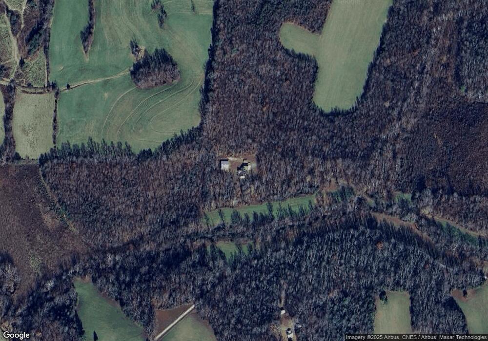
Map
Nearby Homes
- 310 Jessup Grove Church Rd
- 4 Jessup Grove Church Rd
- 6595 Westfield Rd
- 1993 Cook School Rd
- xx Gilley Rd Unit 20.63 acres
- 446 Gilley Rd
- 2109 Cook School Rd
- 1125 Apple Blossom Ln
- Lot 5 Howell Rd
- Lot 4,5,6 Sideview Ln
- 0 Chestnut Ridge Rd
- 3.9Ac Pell Rd
- 182 Black Walnut Trail
- 00 Simmons Rd
- 731 Indian Grove Church Rd
- TBD Ingleside Way
- TBD Eddington Ln
- 00 Carson Rd Unit 1.75
- 00 Carson Rd Unit 1.54
- 00 Carson Rd Unit 4.6
- 251 Rosa Lee Ln
- 2495 Old Westfield Rd
- 2534 Old Westfield Rd
- 2423 Old Westfield Rd
- 2706 Old Westfield Rd
- 2450 Old Westfield Rd
- 603 Cleo Cain Rd
- 754 Cleo Cain Rd
- 414 Cleo Cain Rd
- 790 Cleo Cain Rd
- 437 Cleo Cain Rd
- 2357 Old Westfield Rd
- 2349 Old Westfield Rd
- 411 Cleo Cain Rd
- 783 Cleo Cain Rd
- 2795 Old Westfield Rd
- 2470 Old Westfield Rd
- 527 Cleo Cain Rd
- 2410 Old Westfield Rd
- 355 Cleo Cain Rd