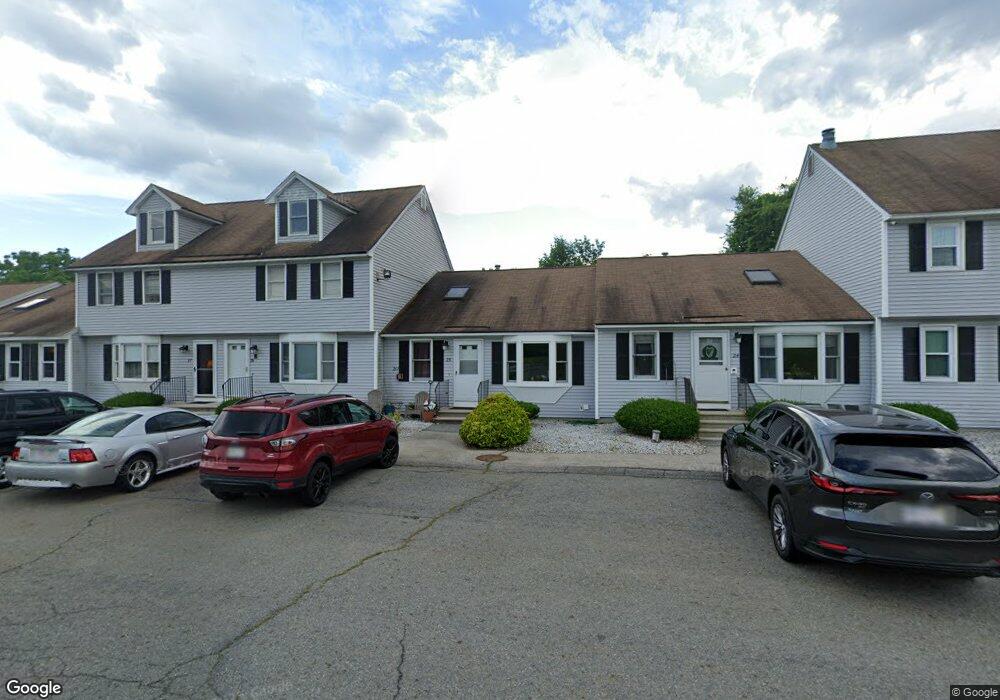
261 Broadway Rd Unit 27 Dracut, MA 01826
Estimated Value: $344,000 - $420,000
2
Beds
2
Baths
1,580
Sq Ft
$247/Sq Ft
Est. Value
About This Home
This home is located at 261 Broadway Rd Unit 27, Dracut, MA 01826 and is currently estimated at $389,623, approximately $246 per square foot. 261 Broadway Rd Unit 27 is a home located in Middlesex County with nearby schools including Joseph A. Campbell Elementary School, Richardson Middle School, and Dracut Senior High School.
Ownership History
Date
Name
Owned For
Owner Type
Purchase Details
Closed on
Sep 29, 1997
Sold by
Pnc Mtg Corp America
Bought by
Rooney David J
Current Estimated Value
Home Financials for this Owner
Home Financials are based on the most recent Mortgage that was taken out on this home.
Original Mortgage
$66,400
Outstanding Balance
$10,687
Interest Rate
7.47%
Mortgage Type
Purchase Money Mortgage
Estimated Equity
$378,936
Purchase Details
Closed on
Oct 18, 1996
Sold by
Laroche Gerald
Bought by
Pnc Mortgage Corp Amer
Create a Home Valuation Report for This Property
The Home Valuation Report is an in-depth analysis detailing your home's value as well as a comparison with similar homes in the area
Home Values in the Area
Average Home Value in this Area
Purchase History
| Date | Buyer | Sale Price | Title Company |
|---|---|---|---|
| Rooney David J | $83,000 | -- | |
| Pnc Mortgage Corp Amer | $63,000 | -- |
Source: Public Records
Mortgage History
| Date | Status | Borrower | Loan Amount |
|---|---|---|---|
| Open | Pnc Mortgage Corp Amer | $66,400 |
Source: Public Records
Tax History Compared to Growth
Tax History
| Year | Tax Paid | Tax Assessment Tax Assessment Total Assessment is a certain percentage of the fair market value that is determined by local assessors to be the total taxable value of land and additions on the property. | Land | Improvement |
|---|---|---|---|---|
| 2025 | $3,324 | $328,500 | $0 | $328,500 |
| 2024 | $3,287 | $314,500 | $0 | $314,500 |
| 2023 | $3,562 | $307,600 | $0 | $307,600 |
| 2022 | $3,410 | $277,500 | $0 | $277,500 |
| 2021 | $2,943 | $226,200 | $0 | $226,200 |
| 2020 | $2,825 | $211,600 | $0 | $211,600 |
| 2019 | $2,637 | $191,800 | $0 | $191,800 |
| 2018 | $2,818 | $199,300 | $0 | $199,300 |
| 2017 | $2,701 | $199,300 | $0 | $199,300 |
| 2016 | $2,506 | $168,900 | $0 | $168,900 |
| 2015 | $2,398 | $160,600 | $0 | $160,600 |
| 2014 | $1,884 | $130,000 | $0 | $130,000 |
Source: Public Records
Map
Nearby Homes
- 315 Broadway Rd Unit 7
- 241 Broadway Rd Unit 50
- 67 Foxhill Ln Unit 67
- 121 Old Marsh Hill Rd
- 167 Betty Ann Ln
- 109 Meadow Creek Dr
- 1572 Bridge St
- 321 Old Marsh Hill Rd
- 26 Frank St
- 35 Thissell Ave
- 67 Lincoln Ln
- 675 Robbins Ave Unit 1
- 700 Robbins Ave Unit 6
- 18 Stone St
- 7 Wildwood St Unit A24
- 19 Esther Way Unit Lot 10
- 650 Robbins Ave Unit 33
- 20 Esther Way Unit 11
- 81 Spring Park Ave
- 4 Hazelwood Ave Unit 12
- 261 Broadway Rd Unit 30
- 261 Broadway Rd Unit 29
- 261 Broadway Rd Unit 28
- 261 Broadway Rd Unit 26
- 261 Broadway Rd Unit 25
- 261 Broadway Rd Unit 24
- 261 Broadway Rd Unit 23
- 261 Broadway Rd Unit 22
- 261 Broadway Rd Unit 21
- 261 Broadway Rd Unit 29,261
- 261 Broadway Rd Unit 23 261
- 247 Broadway Rd Unit 44
- 247 Broadway Rd Unit 43
- 247 Broadway Rd Unit 42
- 247 Broadway Rd Unit 41
- 247 Broadway Rd Unit 40
- 247 Broadway Rd Unit 38
- 247 Broadway Rd Unit 37
- 247 Broadway Rd Unit 36
- 247 Broadway Rd Unit 35