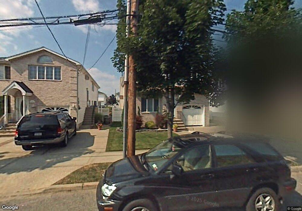
261 Kramer Ave Staten Island, NY 10309
Rossville NeighborhoodEstimated Value: $867,283 - $1,176,000
Studio
--
Bath
2,250
Sq Ft
$469/Sq Ft
Est. Value
About This Home
This home is located at 261 Kramer Ave, Staten Island, NY 10309 and is currently estimated at $1,055,821, approximately $469 per square foot. 261 Kramer Ave is a home located in Richmond County with nearby schools including P.S. 56 - The Louis Desario School, Is 34 Tottenville, and Tottenville High School.
Ownership History
Date
Name
Owned For
Owner Type
Purchase Details
Closed on
Dec 14, 2022
Sold by
Gergis Gergis B B and Gergis Raooth G
Bought by
Gergis Gergis Irrevocable Trust and Gergis
Current Estimated Value
Purchase Details
Closed on
Dec 21, 1998
Sold by
Sharrotts Development Corp
Bought by
Gergis Gergis B B and Gergis Raooth G
Home Financials for this Owner
Home Financials are based on the most recent Mortgage that was taken out on this home.
Original Mortgage
$253,800
Interest Rate
6.78%
Create a Home Valuation Report for This Property
The Home Valuation Report is an in-depth analysis detailing your home's value as well as a comparison with similar homes in the area
Home Values in the Area
Average Home Value in this Area
Purchase History
| Date | Buyer | Sale Price | Title Company |
|---|---|---|---|
| Gergis Gergis Irrevocable Trust | -- | Judicial Title | |
| Gergis Gergis B B | $365,500 | Commonwealth Land Title Ins |
Source: Public Records
Mortgage History
| Date | Status | Borrower | Loan Amount |
|---|---|---|---|
| Previous Owner | Gergis Gergis B B | $253,800 |
Source: Public Records
Tax History
| Year | Tax Paid | Tax Assessment Tax Assessment Total Assessment is a certain percentage of the fair market value that is determined by local assessors to be the total taxable value of land and additions on the property. | Land | Improvement |
|---|---|---|---|---|
| 2025 | $5,371 | $55,980 | $12,700 | $43,280 |
| 2024 | $5,371 | $54,540 | $12,297 | $42,243 |
| 2023 | $5,124 | $50,458 | $11,008 | $39,450 |
| 2022 | $10,073 | $51,480 | $12,540 | $38,940 |
| 2021 | $10,493 | $49,860 | $12,540 | $37,320 |
| 2020 | $8,342 | $55,080 | $12,540 | $42,540 |
| 2019 | $7,665 | $52,080 | $12,540 | $39,540 |
| 2018 | $8,571 | $42,048 | $10,462 | $31,586 |
| 2017 | $8,571 | $42,048 | $11,473 | $30,575 |
| 2016 | $8,343 | $41,732 | $12,216 | $29,516 |
| 2015 | $7,128 | $39,370 | $9,957 | $29,413 |
| 2014 | $7,128 | $37,142 | $9,912 | $27,230 |
Source: Public Records
Map
Nearby Homes
- 265 Kramer Ave
- 257 Kramer Ave
- 253 Kramer Ave
- 269 Kramer Ave
- 242 McBaine Ave
- 249 Kramer Ave
- 250 McBaine Ave
- 238 McBaine Ave
- 254 McBaine Ave
- 234 McBaine Ave
- 245 Kramer Ave
- 230 McBaine Ave
- 241 Kramer Ave
- 226 McBaine Ave
- 237 Kramer Ave
- 284 Winant Ave
- 288 Kramer Ave
- 289 Kramer Ave
- 270 McBaine Ave
- 243 McBaine Ave
Your Personal Tour Guide
Ask me questions while you tour the home.