2611 W Deep Rock Rd Cushing, OK 74023
Estimated Value: $384,865 - $412,000
3
Beds
2
Baths
2,329
Sq Ft
$170/Sq Ft
Est. Value
About This Home
This home is located at 2611 W Deep Rock Rd, Cushing, OK 74023 and is currently estimated at $396,288, approximately $170 per square foot. 2611 W Deep Rock Rd is a home located in Payne County with nearby schools including Cushing Upper Elementary School, Cushing Lower Elementary School, and Cushing High School.
Ownership History
Date
Name
Owned For
Owner Type
Purchase Details
Closed on
Jun 11, 2007
Sold by
Wood Joe and Wood Rhonda
Bought by
Wood Luke Alan and Wood Jessica Jane
Current Estimated Value
Create a Home Valuation Report for This Property
The Home Valuation Report is an in-depth analysis detailing your home's value as well as a comparison with similar homes in the area
Home Values in the Area
Average Home Value in this Area
Purchase History
| Date | Buyer | Sale Price | Title Company |
|---|---|---|---|
| Wood Luke Alan | -- | None Available |
Source: Public Records
Tax History Compared to Growth
Tax History
| Year | Tax Paid | Tax Assessment Tax Assessment Total Assessment is a certain percentage of the fair market value that is determined by local assessors to be the total taxable value of land and additions on the property. | Land | Improvement |
|---|---|---|---|---|
| 2025 | $2,070 | $24,335 | $3,220 | $21,115 |
| 2024 | $2,070 | $23,627 | $2,984 | $20,643 |
| 2023 | $1,918 | $22,939 | $3,042 | $19,897 |
| 2022 | $1,813 | $22,271 | $3,164 | $19,107 |
| 2021 | $1,712 | $21,622 | $3,356 | $18,266 |
| 2020 | $1,637 | $20,992 | $3,469 | $17,523 |
| 2019 | $1,659 | $20,381 | $3,110 | $17,271 |
| 2018 | $1,558 | $19,788 | $3,020 | $16,768 |
| 2017 | $1,499 | $18,982 | $2,511 | $16,471 |
| 2016 | $1,473 | $18,429 | $2,379 | $16,050 |
| 2015 | $1,444 | $17,670 | $2,198 | $15,472 |
| 2014 | $1,437 | $17,670 | $2,198 | $15,472 |
Source: Public Records
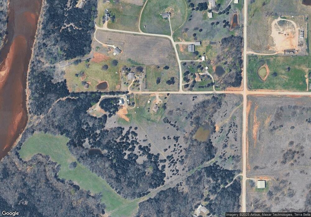
Map
Nearby Homes
- 0000 Battle Ridge Rd
- 2316 W Grandstaff
- 701 E Scissortail Ln
- 1019 N Central Ave
- 315 N Kings Hwy
- 301 W Greenlee St
- 710 N Brethren Rd
- 710 E Brissy St
- 620 N Central Ave
- 217 W Maple St
- 711 N Steele Ave
- 0 N Noble Ave
- 0 W Cherry St
- 1716 W 9th St
- 103 E Cherry St
- 228 S Central Ave
- 723 E Maple St
- 512 E Broadway St
- 305 S Noble Ave
- 802 E Maple St
- 2510 W Deep Rock Rd
- 2620 W Deep Rock Rd
- 2514 W Deep Rock Rd
- 3520 N Big Rock Rd
- 2700 W Dickinson
- 3220 N Battle Ridge
- 3220 N Battle Ridge
- 3606 N Battle Ridge
- 2606 Mcintosh Cir
- 3615 N Logan Ln
- 3702 N Battle Ridge
- 3702 N Battle Ridge Rd
- 2212 W Deep Rock Rd
- 3716 N Battle Ridge
- 2909 N Battle Ridge
- 4002 N Battle Ridge
- 0 N Battle Ridge Rd Unit 127808
- 0 N Battle Ridge Rd Unit 2312367
- 0 N Battle Ridge Rd Unit 2132666
- 3908 N Battle Ridge