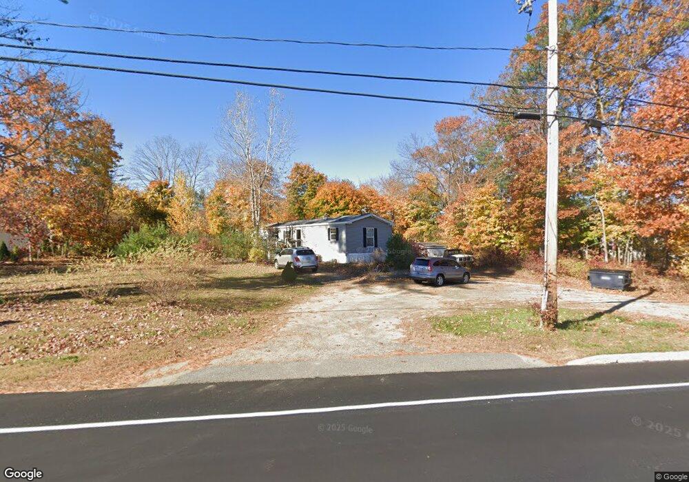
262 Alewive Rd Kennebunk, ME 04043
Estimated Value: $180,000 - $855,000
3
Beds
4
Baths
1,853
Sq Ft
$355/Sq Ft
Est. Value
About This Home
This home is located at 262 Alewive Rd, Kennebunk, ME 04043 and is currently estimated at $658,055, approximately $355 per square foot. 262 Alewive Rd is a home located in York County with nearby schools including Kennebunk High School and The New School.
Ownership History
Date
Name
Owned For
Owner Type
Purchase Details
Closed on
Apr 4, 2025
Sold by
Sirois Brent D
Bought by
Courtney Jonathan T
Current Estimated Value
Purchase Details
Closed on
Oct 25, 2024
Sold by
Sirois Brent D and Sirois Sharon O
Bought by
Bruno Gary J and Bruno Karen S
Purchase Details
Closed on
May 2, 2024
Sold by
Sirois Brent D and Sirois Sharon O
Bought by
Sirois Brent D
Create a Home Valuation Report for This Property
The Home Valuation Report is an in-depth analysis detailing your home's value as well as a comparison with similar homes in the area
Home Values in the Area
Average Home Value in this Area
Purchase History
| Date | Buyer | Sale Price | Title Company |
|---|---|---|---|
| Courtney Jonathan T | $170,000 | None Available | |
| Courtney Jonathan T | $170,000 | None Available | |
| Courtney Jonathan T | $170,000 | None Available | |
| Bruno Gary J | $818,000 | None Available | |
| Bruno Gary J | $818,000 | None Available | |
| Bruno Gary J | $818,000 | None Available | |
| Bruno Gary J | $818,000 | None Available | |
| Sirois Brent D | -- | None Available | |
| Sirois Brent D | -- | None Available | |
| Sirois Sharon O | -- | None Available |
Source: Public Records
Tax History Compared to Growth
Tax History
| Year | Tax Paid | Tax Assessment Tax Assessment Total Assessment is a certain percentage of the fair market value that is determined by local assessors to be the total taxable value of land and additions on the property. | Land | Improvement |
|---|---|---|---|---|
| 2024 | $7,604 | $448,600 | $84,900 | $363,700 |
| 2023 | $7,237 | $450,900 | $87,200 | $363,700 |
| 2022 | $6,583 | $450,900 | $87,200 | $363,700 |
| 2021 | $6,425 | $450,900 | $87,200 | $363,700 |
| 2020 | $6,420 | $453,700 | $90,000 | $363,700 |
| 2019 | $3,751 | $272,800 | $90,000 | $182,800 |
| 2018 | $1,181 | $67,500 | $67,500 | $0 |
| 2017 | $1,117 | $67,500 | $67,500 | $0 |
Source: Public Records
Map
Nearby Homes
- 4 Furbish Ln
- 4 Millstone Ln
- lot #3 Salvato Ln
- 141 Thompson Rd
- 0 Potvin Rd
- 1 Dogwood Cir
- 114 Downing Rd
- 4 Dogwood Cir
- 24-4,25-10 Chapman Ln
- 9 Patterson Dr
- 12 Chipmunk Trail
- 15 Kimball Ln
- 30 Twine Mill Rd
- 145 Emmons Rd
- 274 Alfred Rd
- 276 Alfred Rd
- 19 Old Alewive Rd
- 2 Dogwood Cir
- 20 Cascade Cir Unit 11
- 284 Alfred Rd Unit Lot F13
- 264 Alewive Rd
- 1 Furbish Ln
- 3 Furbish Ln
- 258 Alewive Rd
- Lot 1 Homes at Meadow W
- 268 Alewive Rd
- 00 Alewive Rd
- Lot 2 Homes at Meadow W
- 223 Thompson Rd
- Lot 7 the Homes at Meadow W
- 8 Mockingbird Ln
- Lot 6 the Homes at West Meadow Rd
- Lot 6 the Homes at West Meadow Rd Unit 6
- Lot 3 the Homes at West Meadow Rd
- 274 Alewive Rd
- 5 Mockingbird Ln
- Lot 3 the Homes at Meadow W
- 290 Alewive
- Lot 3 Homes at Meadow W
- Lot 2 the Homes at West Meadow Rd