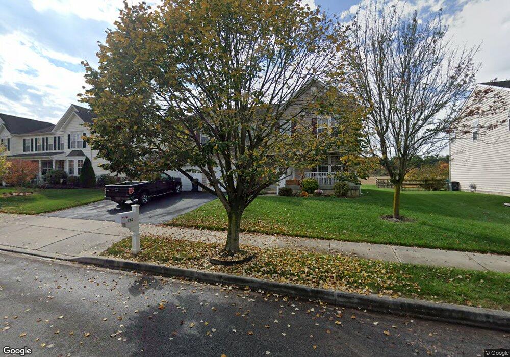
262 Bucktail Dr Middletown, DE 19709
Estimated Value: $598,000 - $646,795
4
Beds
3
Baths
3,028
Sq Ft
$207/Sq Ft
Est. Value
About This Home
This home is located at 262 Bucktail Dr, Middletown, DE 19709 and is currently estimated at $627,199, approximately $207 per square foot. 262 Bucktail Dr is a home located in New Castle County with nearby schools including Brick Mill Elementary School, Louis L. Redding Middle School, and Middletown High School.
Ownership History
Date
Name
Owned For
Owner Type
Purchase Details
Closed on
Dec 23, 2004
Sold by
The Ryland Group Inc
Bought by
Eastburn Kathleen A
Current Estimated Value
Home Financials for this Owner
Home Financials are based on the most recent Mortgage that was taken out on this home.
Original Mortgage
$220,350
Interest Rate
5.64%
Mortgage Type
Purchase Money Mortgage
Purchase Details
Closed on
Jul 26, 2004
Sold by
299 Associates Llc
Bought by
The Ryland Group Inc
Create a Home Valuation Report for This Property
The Home Valuation Report is an in-depth analysis detailing your home's value as well as a comparison with similar homes in the area
Home Values in the Area
Average Home Value in this Area
Purchase History
| Date | Buyer | Sale Price | Title Company |
|---|---|---|---|
| Eastburn Kathleen A | $320,382 | -- | |
| The Ryland Group Inc | $85,000 | -- |
Source: Public Records
Mortgage History
| Date | Status | Borrower | Loan Amount |
|---|---|---|---|
| Previous Owner | Eastburn Kathleen A | $220,350 |
Source: Public Records
Tax History Compared to Growth
Tax History
| Year | Tax Paid | Tax Assessment Tax Assessment Total Assessment is a certain percentage of the fair market value that is determined by local assessors to be the total taxable value of land and additions on the property. | Land | Improvement |
|---|---|---|---|---|
| 2024 | $370 | $123,300 | $15,000 | $108,300 |
| 2023 | $370 | $123,300 | $15,000 | $108,300 |
| 2022 | $3,791 | $123,300 | $15,000 | $108,300 |
| 2021 | $3,708 | $123,300 | $15,000 | $108,300 |
| 2020 | $3,664 | $123,300 | $15,000 | $108,300 |
| 2019 | $3,765 | $123,300 | $15,000 | $108,300 |
| 2018 | $3,250 | $123,300 | $15,000 | $108,300 |
| 2017 | $3,128 | $123,300 | $15,000 | $108,300 |
| 2016 | $2,811 | $123,300 | $15,000 | $108,300 |
| 2015 | $3,088 | $123,300 | $15,000 | $108,300 |
| 2014 | $3,081 | $123,300 | $15,000 | $108,300 |
Source: Public Records
Map
Nearby Homes
- 624 Nesting Ln
- 734 Wood Duck Ct
- 16 E Shakespeare Dr
- 12 Willow Grove Mill Dr
- 601 Village Dr
- 300 Hostetter Blvd
- 40 S Cummings Dr
- 507 Lilac Dr
- 707 Cleaver Farm Rd
- 40 Browning Cir
- 236 E Main St
- 232 E Main St
- 13 Brady Cir
- Serenade Plan at Crossings at Silver Lake
- 8 Redding Cir
- 533 Janvier Dr
- 795 Idlewyld Dr
- 367 Wilmore Dr
- 189 Gillespie Ave
- 111 Anderson St
- 260 Bucktail Dr
- 264 Bucktail Dr
- 258 Bucktail Dr
- 266 Bucktail Dr
- 301 Autumn Ct
- 300 Autumn Ct
- 259 Bucktail Dr
- 256 Bucktail Dr
- 268 Bucktail Dr
- 303 Autumn Ct
- 257 Bucktail Dr
- 302 Autumn Ct
- 254 Bucktail Dr
- 270 Bucktail Dr
- 305 Autumn Ct
- 408 Estate Dr
- 255 Bucktail Dr
- 304 Autumn Ct
- 406 Estate Dr
- 272 Bucktail Dr