262 Nh Route 175 Campton, NH 03223
Estimated Value: $450,000 - $546,000
2
Beds
1
Bath
1,651
Sq Ft
$294/Sq Ft
Est. Value
About This Home
This home is located at 262 Nh Route 175, Campton, NH 03223 and is currently estimated at $484,728, approximately $293 per square foot. 262 Nh Route 175 is a home located in Grafton County with nearby schools including Campton Elementary School, Plymouth Regional High School, and Plymouth State University CD & FC.
Ownership History
Date
Name
Owned For
Owner Type
Purchase Details
Closed on
Oct 25, 2002
Sold by
Mardin Ray T
Bought by
Saulnier Timothy A
Current Estimated Value
Home Financials for this Owner
Home Financials are based on the most recent Mortgage that was taken out on this home.
Original Mortgage
$100,000
Interest Rate
6.2%
Create a Home Valuation Report for This Property
The Home Valuation Report is an in-depth analysis detailing your home's value as well as a comparison with similar homes in the area
Home Values in the Area
Average Home Value in this Area
Purchase History
| Date | Buyer | Sale Price | Title Company |
|---|---|---|---|
| Saulnier Timothy A | $125,000 | -- |
Source: Public Records
Mortgage History
| Date | Status | Borrower | Loan Amount |
|---|---|---|---|
| Open | Saulnier Timothy A | $141,400 | |
| Closed | Saulnier Timothy A | $60,000 | |
| Closed | Saulnier Timothy A | $175,000 | |
| Closed | Saulnier Timothy A | $100,000 |
Source: Public Records
Tax History Compared to Growth
Tax History
| Year | Tax Paid | Tax Assessment Tax Assessment Total Assessment is a certain percentage of the fair market value that is determined by local assessors to be the total taxable value of land and additions on the property. | Land | Improvement |
|---|---|---|---|---|
| 2024 | $8,472 | $492,000 | $162,000 | $330,000 |
| 2023 | $8,119 | $282,200 | $76,900 | $205,300 |
| 2022 | $6,858 | $271,400 | $76,900 | $194,500 |
| 2021 | $6,777 | $271,400 | $76,900 | $194,500 |
| 2020 | $6,536 | $269,300 | $76,900 | $192,400 |
| 2019 | $6,250 | $269,300 | $76,900 | $192,400 |
| 2018 | $6,094 | $238,700 | $61,500 | $177,200 |
| 2017 | $5,920 | $238,700 | $61,500 | $177,200 |
| 2016 | $5,703 | $238,700 | $61,500 | $177,200 |
| 2015 | $5,450 | $237,900 | $61,500 | $176,400 |
| 2014 | $5,581 | $237,900 | $61,500 | $176,400 |
| 2013 | $5,325 | $266,400 | $64,200 | $202,200 |
Source: Public Records
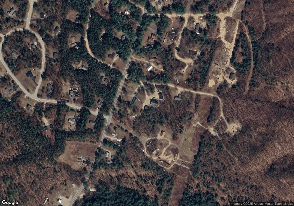
Map
Nearby Homes
- 71 Carla Ct
- 5 Wildwood Dr
- Lot 15 Kelly Way
- 72 Crescent St
- 20 Wildflower Ln Unit 208-97-9-2
- 20 Wildflower Ln Unit 208-97-9-1
- 10-6 Page Rd
- 18 Wildflower Ln Unit 208-97-8-01
- 14 Heritage Hill Rd
- 000 Smith Rd Unit 2
- 000 Smith Rd
- 8 Avery Rd
- 0 Lower Beech Hill Rd Unit 5029667
- 133 Sargent Rd
- 172 Merrill Rd
- 73 Ellsworth Hill Rd
- 90 Sunset Cir
- 4 Seven Sisters Cir
- 28, 29 &42 Railroad & Main Square
- 51 Turkey Jim Rd