262 Southampton Rd Holyoke, MA 01040
Estimated Value: $610,000 - $857,000
6
Beds
5
Baths
4,391
Sq Ft
$165/Sq Ft
Est. Value
About This Home
This home is located at 262 Southampton Rd, Holyoke, MA 01040 and is currently estimated at $724,747, approximately $165 per square foot. 262 Southampton Rd is a home with nearby schools including Lt. Clayre Sullivan Elementary School, Holyoke High School, and First Lutheran Christian School.
Ownership History
Date
Name
Owned For
Owner Type
Purchase Details
Closed on
Aug 23, 2011
Sold by
Tomaszewski Andrew
Bought by
Puttick Andrew J and Puttick Kara L
Current Estimated Value
Purchase Details
Closed on
Apr 27, 2007
Sold by
Tomaszewski Andrew
Bought by
Puttick Andrew J and Puttick Kara L
Home Financials for this Owner
Home Financials are based on the most recent Mortgage that was taken out on this home.
Original Mortgage
$76,500
Interest Rate
6.18%
Mortgage Type
Purchase Money Mortgage
Create a Home Valuation Report for This Property
The Home Valuation Report is an in-depth analysis detailing your home's value as well as a comparison with similar homes in the area
Home Values in the Area
Average Home Value in this Area
Purchase History
| Date | Buyer | Sale Price | Title Company |
|---|---|---|---|
| Puttick Andrew J | -- | -- | |
| Puttick Andrew J | -- | -- | |
| Puttick Andrew J | $102,000 | -- |
Source: Public Records
Mortgage History
| Date | Status | Borrower | Loan Amount |
|---|---|---|---|
| Open | Puttick Andrew J | $410,000 | |
| Previous Owner | Puttick Andrew J | $417,000 | |
| Previous Owner | Puttick Andrew J | $76,500 |
Source: Public Records
Tax History Compared to Growth
Tax History
| Year | Tax Paid | Tax Assessment Tax Assessment Total Assessment is a certain percentage of the fair market value that is determined by local assessors to be the total taxable value of land and additions on the property. | Land | Improvement |
|---|---|---|---|---|
| 2025 | $12,280 | $703,300 | $85,800 | $617,500 |
| 2024 | $10,735 | $566,500 | $81,600 | $484,900 |
| 2023 | $10,211 | $544,300 | $81,600 | $462,700 |
| 2022 | $9,744 | $505,900 | $81,600 | $424,300 |
| 2021 | $3,355 | $461,900 | $78,500 | $383,400 |
| 2020 | $8,399 | $440,200 | $78,500 | $361,700 |
| 2019 | $8,449 | $438,000 | $78,500 | $359,500 |
| 2018 | $8,113 | $419,300 | $78,500 | $340,800 |
| 2017 | $8,038 | $419,300 | $78,500 | $340,800 |
| 2016 | $7,851 | $410,600 | $80,700 | $329,900 |
| 2015 | $7,818 | $410,600 | $80,700 | $329,900 |
Source: Public Records
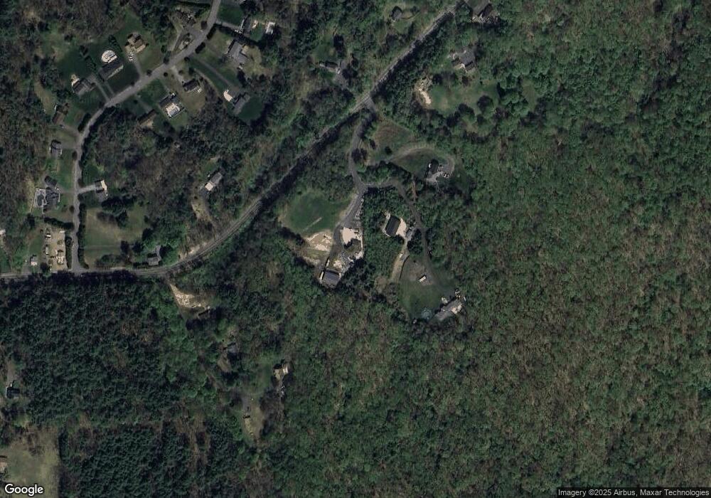
Map
Nearby Homes
- 267 Southampton Rd
- 39 Cook Rd
- 7 Western View Rd
- 59 Mountain Rd
- 36 County Rd
- 63 Pomeroy St
- 26 Eastwood Ln
- 40 Division St
- 33 Maple Crest Cir Unit D
- 7 Maple Crest Cir Unit E
- 34 Maple Crest Cir Unit D
- 63 Jarvis Ave
- 14 Scott Hollow Dr
- 13 Golden Dr
- 10 Humeston Slope
- 9 Sandra Rd
- 55 Longfellow Rd
- Lot 57 White Loaf Rd
- 20 Longfellow Rd
- 102 W Meadowview Rd
- 266 Southampton Rd
- 244 Southampton Rd
- 264 Southampton Rd
- 255 Southampton Rd
- 251 Southampton Rd
- 236 Southampton Rd
- 245 Southampton Rd
- 17 Labrie Ln
- 19 Labrie Ln
- 21 Labrie Ln
- 230 Southampton Rd
- 7 Wall Rd
- 15 Labrie Ln
- 23 Labrie Ln
- 3 Wall Rd
- 25 Labrie Ln
- 270 Southampton Rd
- 27 Labrie Ln
- 11 Labrie Ln
- 29 Labrie Ln