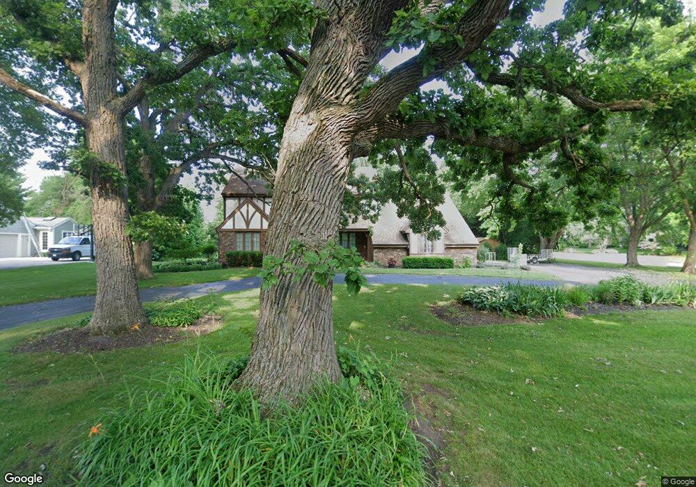
2620 Almesbury Ave Brookfield, WI 53045
Estimated Value: $595,000 - $630,000
4
Beds
3
Baths
2,540
Sq Ft
$243/Sq Ft
Est. Value
About This Home
This home is located at 2620 Almesbury Ave, Brookfield, WI 53045 and is currently estimated at $617,411, approximately $243 per square foot. 2620 Almesbury Ave is a home located in Waukesha County with nearby schools including Brookfield Elementary School, Wisconsin Hills Middle School, and Brookfield Central High School.
Ownership History
Date
Name
Owned For
Owner Type
Purchase Details
Closed on
Dec 1, 2014
Sold by
Rohloff Carla J
Bought by
Graves Eric O and Graves Cynthia J
Current Estimated Value
Home Financials for this Owner
Home Financials are based on the most recent Mortgage that was taken out on this home.
Original Mortgage
$346,750
Outstanding Balance
$265,510
Interest Rate
3.91%
Mortgage Type
New Conventional
Estimated Equity
$351,901
Purchase Details
Closed on
Jan 31, 2000
Sold by
Kruk Ronald T and Kruk Joyce M
Bought by
Rohloff Mark F and Rohloff Carla J
Home Financials for this Owner
Home Financials are based on the most recent Mortgage that was taken out on this home.
Original Mortgage
$201,000
Interest Rate
8.26%
Mortgage Type
Purchase Money Mortgage
Create a Home Valuation Report for This Property
The Home Valuation Report is an in-depth analysis detailing your home's value as well as a comparison with similar homes in the area
Home Values in the Area
Average Home Value in this Area
Purchase History
| Date | Buyer | Sale Price | Title Company |
|---|---|---|---|
| Graves Eric O | $365,000 | None Available | |
| Rohloff Mark F | $282,500 | -- |
Source: Public Records
Mortgage History
| Date | Status | Borrower | Loan Amount |
|---|---|---|---|
| Open | Graves Eric O | $346,750 | |
| Previous Owner | Rohloff Mark F | $201,000 |
Source: Public Records
Tax History Compared to Growth
Tax History
| Year | Tax Paid | Tax Assessment Tax Assessment Total Assessment is a certain percentage of the fair market value that is determined by local assessors to be the total taxable value of land and additions on the property. | Land | Improvement |
|---|---|---|---|---|
| 2024 | $5,782 | $516,700 | $135,000 | $381,700 |
| 2023 | $5,786 | $516,700 | $135,000 | $381,700 |
| 2022 | $5,923 | $413,600 | $130,000 | $283,600 |
| 2021 | $6,274 | $413,600 | $130,000 | $283,600 |
| 2020 | $6,540 | $413,600 | $130,000 | $283,600 |
| 2019 | $6,284 | $413,600 | $130,000 | $283,600 |
| 2018 | $5,927 | $379,900 | $140,000 | $239,900 |
| 2017 | $5,926 | $379,900 | $140,000 | $239,900 |
| 2016 | $6,011 | $379,900 | $140,000 | $239,900 |
| 2015 | $5,977 | $379,900 | $140,000 | $239,900 |
| 2014 | $6,200 | $379,900 | $140,000 | $239,900 |
| 2013 | $6,200 | $379,900 | $140,000 | $239,900 |
Source: Public Records
Map
Nearby Homes
- 21330 Hollycrest Ct
- 21300 Astolat Dr
- 2410 Talbots Ln
- 20780 Tennyson Dr
- 21380 Woodchuck Ln
- 21965 Valiant Dr
- W222N2872 Timberwood Ct
- 7034 Stonewood Ln
- 7038 Stonewood Ln
- 7018 Stonewood Ln
- 7022 Stonewood Ln
- 21905 W North Ave
- N31W22134 Green Rd
- W223N2314 Meadowood Ln
- N19W22081 Foxview Ct Unit 2B
- Lt119 Berwick Ct
- Lt117 Berwick Ct
- Lt115 Berwick Ct
- Lt120 Berwick Ct
- Lt116 Berwick Ct
- 2640 Almesbury Ave
- 21380 Talbots Ln
- 21425 Talbots Ln
- 2660 Almesbury Ave
- 2605 Almesbury Ave
- 2625 Almesbury Ave
- 21340 Talbots Ln
- 2645 Almesbury Ave
- 21375 Talbots Ln
- 2565 Almesbury Ave
- 2560 Almesbury Ave
- 21385 Clearfield Ct
- 2680 Almesbury Ave
- 2665 Almesbury Ave
- 2620 Harmony Cir
- 21310 Talbots Ln
- 2640 Harmony Cir
- 2600 Harmony Cir
- 2550 Harmony Cir
- 21345 Clearfield Ct