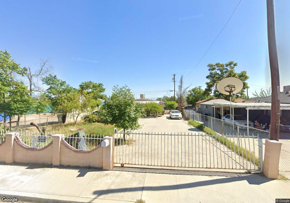
2621 Security Ave Bakersfield, CA 93306
West Pioneer Dr NeighborhoodEstimated Value: $180,000 - $272,000
2
Beds
1
Bath
796
Sq Ft
$268/Sq Ft
Est. Value
About This Home
This home is located at 2621 Security Ave, Bakersfield, CA 93306 and is currently estimated at $213,523, approximately $268 per square foot. 2621 Security Ave is a home located in Kern County with nearby schools including Horace Mann Elementary School, Emerson Middle School, and East Bakersfield High School.
Ownership History
Date
Name
Owned For
Owner Type
Purchase Details
Closed on
Feb 27, 2006
Sold by
Ramirez Ramirez Moises Vela Moises Vela and Ramirez Vela Moises
Bought by
Ramirez Moises Vela
Current Estimated Value
Home Financials for this Owner
Home Financials are based on the most recent Mortgage that was taken out on this home.
Original Mortgage
$109,000
Interest Rate
6.04%
Mortgage Type
New Conventional
Purchase Details
Closed on
May 17, 2005
Sold by
Ramirez Lidia
Bought by
Vela Moises Ramirez and Ramirez Moises
Home Financials for this Owner
Home Financials are based on the most recent Mortgage that was taken out on this home.
Original Mortgage
$80,000
Interest Rate
5.72%
Mortgage Type
New Conventional
Create a Home Valuation Report for This Property
The Home Valuation Report is an in-depth analysis detailing your home's value as well as a comparison with similar homes in the area
Home Values in the Area
Average Home Value in this Area
Purchase History
| Date | Buyer | Sale Price | Title Company |
|---|---|---|---|
| Ramirez Moises Vela | -- | Alliance Title Company | |
| Vela Moises Ramirez | -- | First American Title |
Source: Public Records
Mortgage History
| Date | Status | Borrower | Loan Amount |
|---|---|---|---|
| Closed | Ramirez Moises Vela | $109,000 | |
| Closed | Vela Moises Ramirez | $80,000 |
Source: Public Records
Tax History
| Year | Tax Paid | Tax Assessment Tax Assessment Total Assessment is a certain percentage of the fair market value that is determined by local assessors to be the total taxable value of land and additions on the property. | Land | Improvement |
|---|---|---|---|---|
| 2025 | $1,723 | $67,889 | $25,617 | $42,272 |
| 2024 | $1,666 | $66,559 | $25,115 | $41,444 |
| 2023 | $1,666 | $65,255 | $24,623 | $40,632 |
| 2022 | $1,582 | $63,977 | $24,141 | $39,836 |
| 2021 | $1,488 | $62,723 | $23,668 | $39,055 |
| 2020 | $1,452 | $62,081 | $23,426 | $38,655 |
| 2019 | $1,400 | $62,081 | $23,426 | $38,655 |
| 2018 | $1,362 | $59,672 | $22,517 | $37,155 |
| 2017 | $1,344 | $58,503 | $22,076 | $36,427 |
| 2016 | $1,133 | $55,000 | $14,000 | $41,000 |
| 2015 | $1,028 | $45,000 | $11,000 | $34,000 |
| 2014 | $1,003 | $44,000 | $11,000 | $33,000 |
Source: Public Records
Map
Nearby Homes
- 2414 Steele Ave
- 2608 Lake St
- 2509 Monterey St
- 2322 Kentucky St
- 2740 Center St
- 2526 Monterey St
- 2524 Monterey St
- 2223 Steele Ave
- 2728 Kentucky St
- 909 Pentz St
- 2641 Niles St
- 2717 Monterey St
- 2801 Lake St
- 2512 Niles St
- 2601 Lucky St
- 2400 Lucky St
- 2110 Center St
- 2229 Lucky St
- 2525 Avenida Escuela
- 2915 Edison Hwy
- 2623 Security Ave
- 2601 Security Ave
- 707 Canal St
- 2627 Security Ave
- 2606 Trust Ave
- 2612 Security Ave
- 2618 Security Ave
- 2540 Security Ave
- 2629 Security Ave
- 2608 Trust Ave
- 2530 Security Ave
- 2626 Security Ave
- 2610 Trust Ave
- 2528 Security Ave
- 2631 Security Ave
- 2628 Security Ave
- 2524 Security Ave
- 2612 Trust Ave Unit 2
- 2612 Trust Ave
- 2630 Security Ave
Your Personal Tour Guide
Ask me questions while you tour the home.