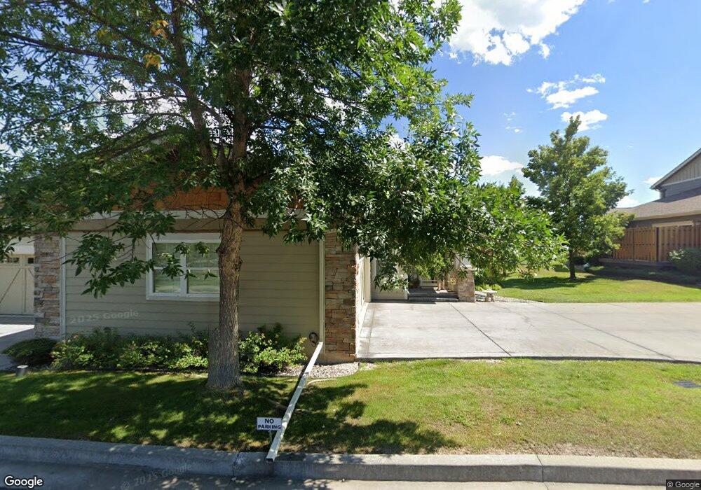
2622B Tanbark Way Missoula, MT 59808
Captain John Mullan NeighborhoodEstimated Value: $576,000 - $849,686
4
Beds
4
Baths
456
Sq Ft
$1,583/Sq Ft
Est. Value
About This Home
This home is located at 2622B Tanbark Way, Missoula, MT 59808 and is currently estimated at $721,895, approximately $1,583 per square foot. 2622B Tanbark Way is a home located in Missoula County with nearby schools including Hellgate Elementary Lower Grades, Hellgate Middle School, and Big Sky High School.
Ownership History
Date
Name
Owned For
Owner Type
Purchase Details
Closed on
Jul 5, 2011
Sold by
Tolleson William N and Tolleson Lynda M
Bought by
Tolleson Property Management Llc
Current Estimated Value
Purchase Details
Closed on
Jun 23, 2006
Sold by
Houston Patricia A
Bought by
Tolleson William N and Tolleson Lynda M
Purchase Details
Closed on
Mar 24, 2005
Sold by
Mostad Construction Inc
Bought by
Houston Patricia A
Create a Home Valuation Report for This Property
The Home Valuation Report is an in-depth analysis detailing your home's value as well as a comparison with similar homes in the area
Home Values in the Area
Average Home Value in this Area
Purchase History
| Date | Buyer | Sale Price | Title Company |
|---|---|---|---|
| Tolleson Property Management Llc | -- | None Available | |
| Tolleson William N | -- | Insured Titles Llc | |
| Houston Patricia A | -- | Insured Titles Llc |
Source: Public Records
Tax History Compared to Growth
Tax History
| Year | Tax Paid | Tax Assessment Tax Assessment Total Assessment is a certain percentage of the fair market value that is determined by local assessors to be the total taxable value of land and additions on the property. | Land | Improvement |
|---|---|---|---|---|
| 2025 | $7,282 | $767,800 | $141,988 | $625,812 |
| 2024 | $7,215 | $605,900 | $101,063 | $504,837 |
| 2023 | $6,744 | $605,900 | $101,063 | $504,837 |
| 2022 | $6,012 | $453,400 | $0 | $0 |
| 2021 | $5,420 | $453,400 | $0 | $0 |
| 2020 | $4,985 | $386,700 | $0 | $0 |
| 2019 | $4,925 | $386,700 | $0 | $0 |
| 2018 | $4,703 | $359,000 | $0 | $0 |
| 2017 | $4,630 | $359,000 | $0 | $0 |
| 2016 | $4,410 | $363,000 | $0 | $0 |
| 2015 | $4,160 | $363,000 | $0 | $0 |
| 2014 | $4,583 | $220,147 | $0 | $0 |
Source: Public Records
Map
Nearby Homes
- 2625 Tanbark Way Unit A
- 2626 Muirfield Ct
- 3068 Rustler Dr
- 2669 Bunkhouse Place
- 2645 Bunkhouse Place
- 3069 Trading Post Place
- 2789 Paniolo Place
- 8245 Pheasant Dr
- 8645 Mourning Dove Dr
- 2783 Paniolo Place
- 2130 Oriole Dr
- 2100 Hummingbird Dr
- 8105 Pheasant Dr
- 2729 Paniolo Place
- 2736 Paniolo Place
- 1935 Oriole Dr
- NHN, Lot 24 Royal Coachman Dr
- NHN Lot 25 Spinner Fall Way
- NHN Lot 28 Royal Coachman Dr
- 146 New Meadows Dr
- 2630 Tanbark Way Unit B
- 2630 Tanbark Way Unit A
- 2630 Tanbark Way
- 2630A Tanbark Way
- 2630B Tanbark Way
- 2630 B Tanbark Way
- 2614B Tanbark Way
- 2625B Tanbark Way
- 2625 A Tanbark Way
- 2614 Tanbark Way Unit B
- 2614A Tanbark Way
- 2625A Tanbark Way
- 8633B Ranch Club Rd
- 8633A Ranch Club Rd
- 8633A Ranch Club Rd
- 8633B Ranch Club Rd
- 8633 Ranch Club Rd
- 2640B Tanbark Way
- 2640A Tanbark Way