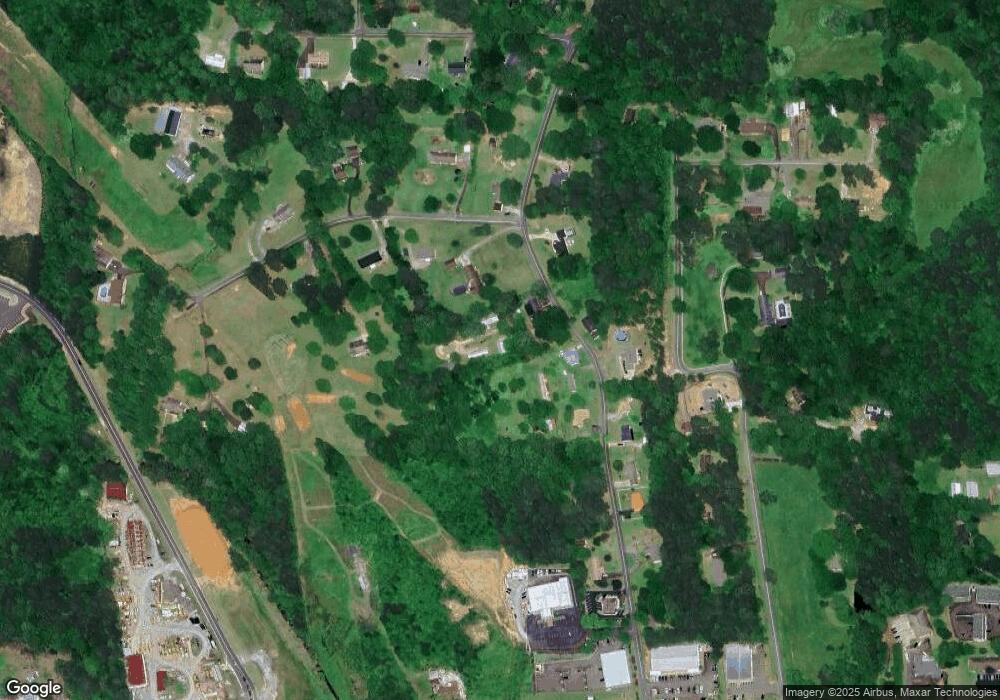
263 Gordon Rd Jasper, GA 30143
Estimated Value: $349,000 - $383,000
Studio
2
Baths
2,567
Sq Ft
$143/Sq Ft
Est. Value
About This Home
This home is located at 263 Gordon Rd, Jasper, GA 30143 and is currently estimated at $366,246, approximately $142 per square foot. 263 Gordon Rd is a home located in Pickens County with nearby schools including Harmony Elementary School, Pickens County Middle School, and Pickens County High School.
Ownership History
Date
Name
Owned For
Owner Type
Purchase Details
Closed on
Oct 11, 2005
Sold by
Mitchell Shirley P
Bought by
Gordon Timon
Current Estimated Value
Home Financials for this Owner
Home Financials are based on the most recent Mortgage that was taken out on this home.
Original Mortgage
$111,920
Outstanding Balance
$58,612
Interest Rate
5.71%
Mortgage Type
New Conventional
Estimated Equity
$307,634
Create a Home Valuation Report for This Property
The Home Valuation Report is an in-depth analysis detailing your home's value as well as a comparison with similar homes in the area
Home Values in the Area
Average Home Value in this Area
Purchase History
| Date | Buyer | Sale Price | Title Company |
|---|---|---|---|
| Gordon Timon | $139,900 | -- | |
| Mitchell Shirley P | -- | -- |
Source: Public Records
Mortgage History
| Date | Status | Borrower | Loan Amount |
|---|---|---|---|
| Open | Gordon Timon | $111,920 | |
| Closed | Gordon Timon | $27,980 |
Source: Public Records
Tax History
| Year | Tax Paid | Tax Assessment Tax Assessment Total Assessment is a certain percentage of the fair market value that is determined by local assessors to be the total taxable value of land and additions on the property. | Land | Improvement |
|---|---|---|---|---|
| 2025 | $2,105 | $116,220 | $14,000 | $102,220 |
| 2024 | $2,217 | $112,025 | $14,000 | $98,025 |
| 2023 | $2,278 | $112,025 | $14,000 | $98,025 |
| 2022 | $1,736 | $85,337 | $14,000 | $71,337 |
| 2021 | $1,376 | $63,145 | $14,000 | $49,145 |
| 2020 | $1,417 | $63,145 | $14,000 | $49,145 |
| 2019 | $1,450 | $63,145 | $14,000 | $49,145 |
| 2018 | $1,463 | $63,145 | $14,000 | $49,145 |
| 2017 | $1,487 | $63,145 | $14,000 | $49,145 |
| 2016 | $1,362 | $56,917 | $14,000 | $42,917 |
| 2015 | -- | $56,917 | $14,000 | $42,917 |
| 2014 | -- | $57,586 | $14,000 | $43,586 |
Source: Public Records
Map
Nearby Homes
- 12 Sammy McGhee Blvd Unit 203
- 9 Summit St Unit 9
- 5566 Red Fox Ln
- 2668 Highland Trail
- 5574 Red Fox Ln
- 321 Owls Brow
- 80 Mountain Mint Dr
- 280 Vistaview Pkwy
- 0 Mulberry Cir Unit 409241
- 0 Wilderness Pkwy Unit 7690731
- 387 Windflower Dr
- 0 Lower Sassafras Pkwy Unit 24570415
- 279 Vistaview Pkwy
- 0 Mulberry Cir Unit 10675471
- 278 Vista View Pkwy
- 4544 Sassafras Ct
- 324 Northside Dr
- 190 Northside Dr
- 57 Mountain View Cir
- 201 Oakmont Dr
