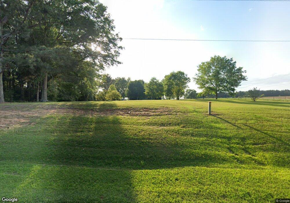
263 Highway 533 Laurel, MS 39443
Estimated Value: $156,000 - $245,499
3
Beds
2
Baths
1,922
Sq Ft
$112/Sq Ft
Est. Value
About This Home
This home is located at 263 Highway 533, Laurel, MS 39443 and is currently estimated at $215,875, approximately $112 per square foot. 263 Highway 533 is a home located in Jones County.
Ownership History
Date
Name
Owned For
Owner Type
Purchase Details
Closed on
Mar 8, 2013
Sold by
Bush Clay R and Bush Kristi R
Bought by
Herron Robert L and Herron Shawna
Current Estimated Value
Home Financials for this Owner
Home Financials are based on the most recent Mortgage that was taken out on this home.
Original Mortgage
$139,428
Outstanding Balance
$98,141
Interest Rate
3.56%
Mortgage Type
New Conventional
Estimated Equity
$117,734
Purchase Details
Closed on
Aug 27, 2007
Sold by
Gray Cindy W and Gray Douglas
Bought by
Bush Clay R and Bush Kristi R
Create a Home Valuation Report for This Property
The Home Valuation Report is an in-depth analysis detailing your home's value as well as a comparison with similar homes in the area
Purchase History
| Date | Buyer | Sale Price | Title Company |
|---|---|---|---|
| Herron Robert L | -- | -- | |
| Bush Clay R | -- | -- | |
| Bush Clay R | -- | -- |
Source: Public Records
Mortgage History
| Date | Status | Borrower | Loan Amount |
|---|---|---|---|
| Open | Bush Clay R | $139,428 | |
| Closed | Herron Robert L | $139,428 |
Source: Public Records
Tax History Compared to Growth
Tax History
| Year | Tax Paid | Tax Assessment Tax Assessment Total Assessment is a certain percentage of the fair market value that is determined by local assessors to be the total taxable value of land and additions on the property. | Land | Improvement |
|---|---|---|---|---|
| 2025 | $1,418 | $11,771 | $0 | $0 |
| 2024 | $1,450 | $11,453 | $0 | $0 |
| 2023 | $1,450 | $11,737 | $0 | $0 |
| 2022 | $1,219 | $11,739 | $0 | $0 |
| 2021 | $2,078 | $11,740 | $0 | $0 |
| 2020 | $1,272 | $11,885 | $0 | $0 |
| 2019 | $1,273 | $11,849 | $0 | $0 |
| 2018 | $1,271 | $11,849 | $0 | $0 |
| 2017 | $1,271 | $11,849 | $0 | $0 |
| 2016 | $1,498 | $11,314 | $0 | $0 |
| 2015 | $2,103 | $11,312 | $0 | $0 |
| 2014 | $2,103 | $16,992 | $0 | $0 |
Source: Public Records
Map
Nearby Homes
- 1163/65 Mississippi 28
- 1043 Mississippi 28
- 423 Shady School Rd
- 1013 Service Rd
- 67 Azzie Pitts Rd
- 0 Northridge Rd
- 688 Joe Perrett Rd
- 0 Old Soso Rd
- 727 Soso Big Creek Rd
- 00 Hwy 28 W
- 372 Jessie's Ln
- 13 Iris Ln
- 370 County Road 7
- 5015 Highway 15 N
- 0 Calma Dr
- 253 Maxey Rd
- 0 Maxey Rd
- 84 Maxey Rd
- 862 & 864 Ms-15
- 00 Mississippi 529
- 263 Highway 533
- 263 Hwy 533
- 233 Highway 533
- 294 Hwy 533
- 294 Highway 533
- 307 Highway 533
- 203 Highway 533
- 2 Welch Rd
- 2 Welch Rd
- 14 Bruce Knight Rd
- 188 Mississippi 533
- 188 Highway 533
- 184 Highway 533
- 175 Highway 533
- 357 Highway 533
- 155 Shady School Rd
- 367 Highway 533
- 160 Highway 533
- 75 Shady School Rd
- 133 Jasper Highway 533
