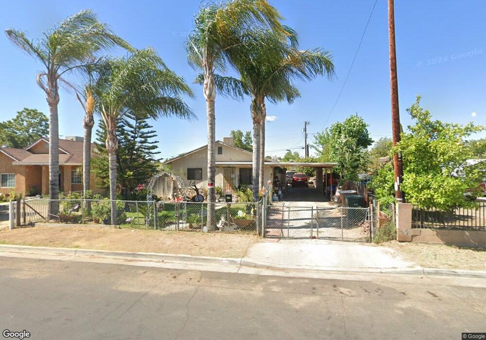
2630 Security Ave Bakersfield, CA 93306
West Pioneer Dr NeighborhoodEstimated Value: $198,543 - $255,000
2
Beds
1
Bath
832
Sq Ft
$266/Sq Ft
Est. Value
About This Home
This home is located at 2630 Security Ave, Bakersfield, CA 93306 and is currently estimated at $221,136, approximately $265 per square foot. 2630 Security Ave is a home located in Kern County with nearby schools including Horace Mann Elementary School, Emerson Middle School, and East Bakersfield High School.
Ownership History
Date
Name
Owned For
Owner Type
Purchase Details
Closed on
Jul 5, 1996
Sold by
Gomez Raymundo and Gomez Rosa
Bought by
Alvarez Albino and Alvarez Elsa F
Current Estimated Value
Home Financials for this Owner
Home Financials are based on the most recent Mortgage that was taken out on this home.
Original Mortgage
$64,966
Outstanding Balance
$4,672
Interest Rate
8.18%
Mortgage Type
FHA
Estimated Equity
$216,464
Create a Home Valuation Report for This Property
The Home Valuation Report is an in-depth analysis detailing your home's value as well as a comparison with similar homes in the area
Home Values in the Area
Average Home Value in this Area
Purchase History
| Date | Buyer | Sale Price | Title Company |
|---|---|---|---|
| Alvarez Albino | $65,000 | Fidelity National Title Co |
Source: Public Records
Mortgage History
| Date | Status | Borrower | Loan Amount |
|---|---|---|---|
| Open | Alvarez Albino | $64,966 |
Source: Public Records
Tax History
| Year | Tax Paid | Tax Assessment Tax Assessment Total Assessment is a certain percentage of the fair market value that is determined by local assessors to be the total taxable value of land and additions on the property. | Land | Improvement |
|---|---|---|---|---|
| 2025 | $2,078 | $105,752 | $32,558 | $73,194 |
| 2024 | $2,013 | $103,679 | $31,920 | $71,759 |
| 2023 | $2,013 | $101,647 | $31,295 | $70,352 |
| 2022 | $1,922 | $99,655 | $30,682 | $68,973 |
| 2021 | $1,823 | $97,702 | $30,081 | $67,621 |
| 2020 | $1,786 | $96,701 | $29,773 | $66,928 |
| 2019 | $1,725 | $96,701 | $29,773 | $66,928 |
| 2018 | $1,677 | $92,948 | $28,618 | $64,330 |
| 2017 | $1,657 | $91,126 | $28,057 | $63,069 |
| 2016 | $1,438 | $89,340 | $27,507 | $61,833 |
| 2015 | $1,209 | $68,000 | $19,000 | $49,000 |
| 2014 | $1,070 | $57,000 | $14,000 | $43,000 |
Source: Public Records
Map
Nearby Homes
- 2608 Lake St
- 2740 Center St
- 2728 Kentucky St
- 909 Pentz St
- 2509 Monterey St
- 2526 Monterey St
- 2717 Monterey St
- 2524 Monterey St
- 2414 Steele Ave
- 2801 Lake St
- 2641 Niles St
- 2322 Kentucky St
- 2512 Niles St
- 2223 Steele Ave
- 2601 Lucky St
- 2110 Center St
- 2525 Avenida Escuela
- 2400 Lucky St
- 2915 Edison Hwy
- 2229 Lucky St
- 2632 Security Ave
- 2628 Security Ave
- 2634 Security Ave
- 2626 Security Ave
- 2629 Center St
- 2627 Center St
- 2631 Center St
- 2636 Security Ave
- 2625 Center St
- 2633 Center St
- 2631 Security Ave
- 2629 Security Ave
- 2638 Security Ave
- 2618 Security Ave
- 2543 Center St
- 2637 Center St
- 2627 Security Ave
- 2633 Security Ave
- 2541 Center St
- 2639 Center St
Your Personal Tour Guide
Ask me questions while you tour the home.