26395 S Shore Dr Mendon, MI 49072
Estimated Value: $332,000 - $502,000
3
Beds
3
Baths
3,140
Sq Ft
$127/Sq Ft
Est. Value
About This Home
This home is located at 26395 S Shore Dr, Mendon, MI 49072 and is currently estimated at $398,743, approximately $126 per square foot. 26395 S Shore Dr is a home located in St. Joseph County with nearby schools including Mendon Elementary School and Mendon Middle/High School.
Ownership History
Date
Name
Owned For
Owner Type
Purchase Details
Closed on
Dec 1, 2023
Sold by
Maurice L Cupp Trust
Bought by
Switalski Norma Christine
Current Estimated Value
Purchase Details
Closed on
Dec 30, 2011
Sold by
Mitchell Scott J and Mitchell Elizabeth A
Bought by
Deback Ann E
Purchase Details
Closed on
Jan 1, 1901
Create a Home Valuation Report for This Property
The Home Valuation Report is an in-depth analysis detailing your home's value as well as a comparison with similar homes in the area
Purchase History
| Date | Buyer | Sale Price | Title Company |
|---|---|---|---|
| Switalski Norma Christine | -- | None Listed On Document | |
| Cook Pamela L | -- | None Listed On Document | |
| Culp Virginia L | -- | None Listed On Document | |
| Deback Ann E | $210,000 | None Available | |
| -- | -- | -- |
Source: Public Records
Tax History
| Year | Tax Paid | Tax Assessment Tax Assessment Total Assessment is a certain percentage of the fair market value that is determined by local assessors to be the total taxable value of land and additions on the property. | Land | Improvement |
|---|---|---|---|---|
| 2025 | $1,204 | $199,400 | $10,200 | $189,200 |
| 2024 | $1,171 | $187,600 | $10,200 | $177,400 |
| 2023 | $1,116 | $159,700 | $7,100 | $152,600 |
| 2022 | $0 | $144,400 | $7,500 | $136,900 |
| 2021 | $2,085 | $136,800 | $7,700 | $129,100 |
| 2020 | $2,714 | $129,300 | $6,600 | $122,700 |
| 2019 | $998 | $134,600 | $6,600 | $128,000 |
| 2018 | $2,842 | $119,000 | $6,600 | $112,400 |
| 2017 | $2,765 | $110,600 | $110,600 | $0 |
| 2016 | -- | $107,600 | $107,600 | $0 |
| 2015 | -- | $103,700 | $0 | $0 |
| 2014 | -- | $96,800 | $96,800 | $0 |
| 2012 | -- | $84,600 | $84,600 | $0 |
Source: Public Records
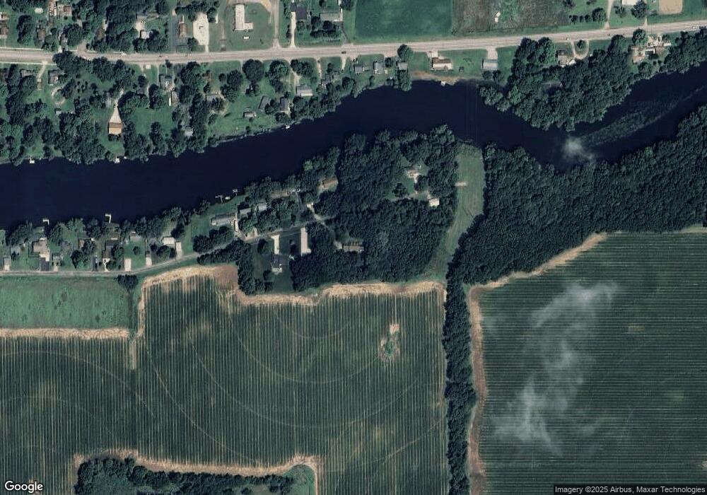
Map
Nearby Homes
- Lot 04 S Shore Dr
- 226 Pleasant St
- 106 W State St
- 235 N Nottawa St
- 25660 Simpson Rd
- 218 W Jackson St
- 206 Burr Oak St
- 228 W Jackson St
- 865 W Main St
- 30315 Jacksonburg Rd
- 23521 River Run Rd
- 55637 Bennett Rd
- 54516 Silver St
- 23317 Michigan Ave
- 25395 Flach Rd
- 30879 Michigan 60
- 30725 Orla Engle Rd
- 22533 Davis Dr
- 30311 Michigan 86
- 31688 W Colon Rd
Your Personal Tour Guide
Ask me questions while you tour the home.