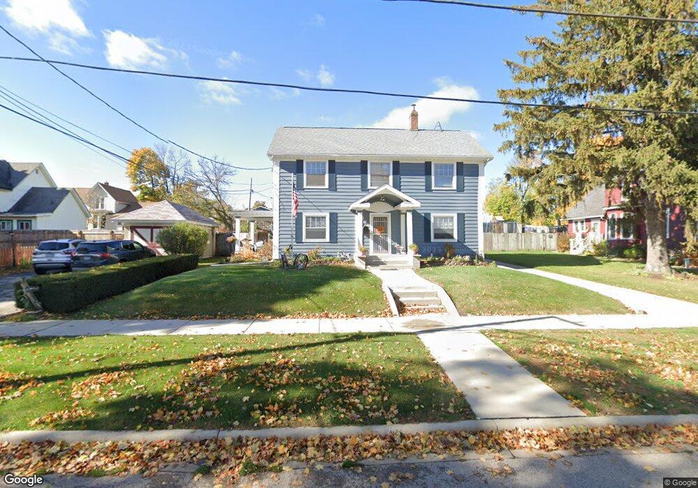
264 Elm St Elgin, IL 60123
Near West Elgin NeighborhoodEstimated Value: $266,000 - $355,000
3
Beds
2
Baths
2,054
Sq Ft
$149/Sq Ft
Est. Value
About This Home
This home is located at 264 Elm St, Elgin, IL 60123 and is currently estimated at $306,836, approximately $149 per square foot. 264 Elm St is a home located in Kane County with nearby schools including Lowrie Elementary School, Abbott Middle School, and Larkin High School.
Ownership History
Date
Name
Owned For
Owner Type
Purchase Details
Closed on
Jun 15, 2021
Sold by
Smith Steven W and Terry Thomas
Bought by
Smith Steven W and Smith Victoria S
Current Estimated Value
Purchase Details
Closed on
Mar 27, 2008
Sold by
Smith Wilna and Smith Steven W
Bought by
Lima Wilna and Smith Steven W
Create a Home Valuation Report for This Property
The Home Valuation Report is an in-depth analysis detailing your home's value as well as a comparison with similar homes in the area
Home Values in the Area
Average Home Value in this Area
Purchase History
| Date | Buyer | Sale Price | Title Company |
|---|---|---|---|
| Smith Steven W | $180,000 | Attorney | |
| Lima Wilna | -- | None Available |
Source: Public Records
Tax History
| Year | Tax Paid | Tax Assessment Tax Assessment Total Assessment is a certain percentage of the fair market value that is determined by local assessors to be the total taxable value of land and additions on the property. | Land | Improvement |
|---|---|---|---|---|
| 2024 | $7,022 | $95,741 | $18,293 | $77,448 |
| 2023 | $6,691 | $86,494 | $16,526 | $69,968 |
| 2022 | $5,816 | $73,068 | $15,069 | $57,999 |
| 2021 | $5,559 | $68,313 | $14,088 | $54,225 |
| 2020 | $5,401 | $65,215 | $13,449 | $51,766 |
| 2019 | $5,242 | $62,121 | $12,811 | $49,310 |
| 2018 | $5,193 | $58,522 | $12,069 | $46,453 |
| 2017 | $5,073 | $55,325 | $11,410 | $43,915 |
| 2016 | $4,834 | $51,326 | $10,585 | $40,741 |
| 2015 | -- | $47,045 | $9,702 | $37,343 |
| 2014 | -- | $46,464 | $9,582 | $36,882 |
| 2013 | -- | $47,690 | $9,835 | $37,855 |
Source: Public Records
Map
Nearby Homes
- 208 Moseley St
- 552 Walnut Ave
- 3 National St Unit 3
- 7 National St Unit 7
- 96 S Crystal St
- 331 Orange St
- 532 South St
- 315 Vandalia St
- 9 N Jackson St
- 761 South St
- 756 Walnut Ave
- 50 Sheridan St
- 211 Prairie St
- 162 Festival Ct
- 216 Prairie St
- 462 Ashland Ave
- 353 Wilcox Ave
- 118 Wilcox Ave
- 705 W Highland Ave
- 800 Morgan St
Your Personal Tour Guide
Ask me questions while you tour the home.