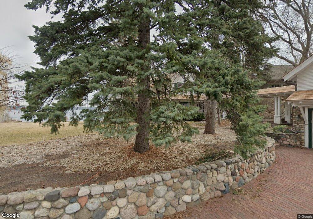
2640 Marshland Rd Wayzata, MN 55391
Estimated Value: $2,088,000 - $4,438,000
3
Beds
5
Baths
3,957
Sq Ft
$865/Sq Ft
Est. Value
About This Home
This home is located at 2640 Marshland Rd, Wayzata, MN 55391 and is currently estimated at $3,422,010, approximately $864 per square foot. 2640 Marshland Rd is a home located in Hennepin County with nearby schools including Groveland Elementary School, Minnetonka East Middle School, and Minnetonka Senior High School.
Ownership History
Date
Name
Owned For
Owner Type
Purchase Details
Closed on
Nov 17, 2015
Sold by
Massie John R and Massie Miriam Elizabeth Atwood
Bought by
Massie John R and John R Massie Qualified Personal Residen
Current Estimated Value
Purchase Details
Closed on
Dec 15, 2011
Sold by
Massie John R and Elizabeth Atwood Massie M
Bought by
Massie John R and Massie Miriam Elizabeth Atwood
Create a Home Valuation Report for This Property
The Home Valuation Report is an in-depth analysis detailing your home's value as well as a comparison with similar homes in the area
Home Values in the Area
Average Home Value in this Area
Purchase History
| Date | Buyer | Sale Price | Title Company |
|---|---|---|---|
| Massie John R | -- | Attorney | |
| Massie Miriam Elizabeth Atwood | -- | Attorney | |
| Massie John R | -- | None Available |
Source: Public Records
Tax History Compared to Growth
Tax History
| Year | Tax Paid | Tax Assessment Tax Assessment Total Assessment is a certain percentage of the fair market value that is determined by local assessors to be the total taxable value of land and additions on the property. | Land | Improvement |
|---|---|---|---|---|
| 2024 | $45,957 | $3,836,200 | $2,849,500 | $986,700 |
| 2023 | $39,901 | $3,513,700 | $2,590,400 | $923,300 |
| 2022 | $32,131 | $3,225,000 | $2,467,000 | $758,000 |
| 2021 | $31,606 | $2,550,000 | $1,943,000 | $607,000 |
| 2020 | $29,183 | $2,497,000 | $1,905,000 | $592,000 |
| 2019 | $29,215 | $2,205,000 | $1,610,000 | $595,000 |
| 2018 | $29,483 | $2,190,000 | $1,610,000 | $580,000 |
| 2017 | $30,233 | $2,237,000 | $1,610,000 | $627,000 |
| 2016 | $29,648 | $2,155,000 | $1,560,000 | $595,000 |
| 2015 | $26,423 | $1,911,000 | $1,420,000 | $491,000 |
| 2014 | -- | $1,770,000 | $1,310,000 | $460,000 |
Source: Public Records
Map
Nearby Homes
- 17950 & 18000 Breezy Point Rd
- 17870 Breezy Point Rd
- 17945 Breezy Point Rd
- 3100 County Road 101 S
- 3115 County Road 101 S
- 3205 County Road 101
- 17209 Grays Bay Blvd
- TBD1 Bushaway Rd
- TBD3 Bushaway Rd
- TBD2 Bushaway Rd
- 1595 Locust Hills Cir
- 875 Lake St N Unit 216
- 724 Widsten Cir
- 1150 La Salle St
- 18800 Highland Avenue
- 18800 Highland Ave
- 1066 E Circle Dr
- 128 Peavey Ln
- 3515 County Road 101
- 150 Broadway Ave S Unit 2B
- 2630 Marshland Rd
- 2650 Marshland Rd
- 2650 Marshland Rd
- 2670 Marshland Rd
- 2505 Cedar Point Dr
- 2665 Maplewood Cir E
- 2705 Maplewood Cir E
- 2670 Woolsey Ln
- 2515 Cedar Point Dr
- 2660 Maplewood Cir E
- 2730 Woolsey Ln
- 2730 Woolsey Ln
- 2660 Woolsey Ln
- 2660 Woolsey Ln
- 2540 Cedar Point Dr
- 2540 Cedar Point-Drive-
- 2750 2750 Woolsey Ln
- 2750 Woolsey Ln
- 2600 Maplewood Cir E
- 2470 Cedar Point Dr