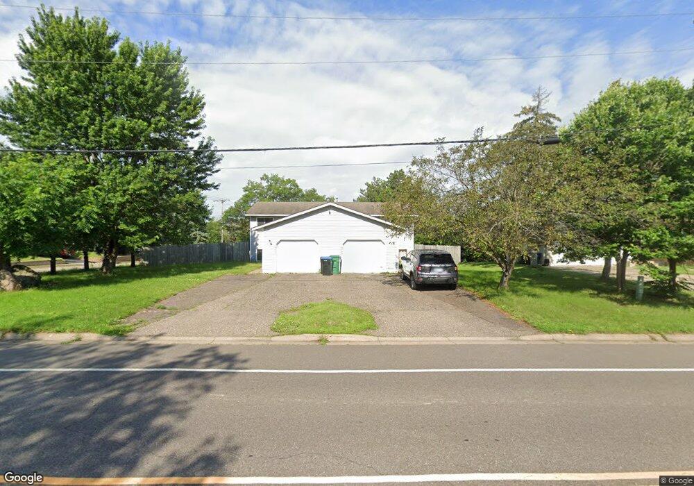
2647 Western Ave N Saint Paul, MN 55113
South Owasso NeighborhoodEstimated Value: $327,000 - $482,000
4
Beds
4
Baths
1,286
Sq Ft
$327/Sq Ft
Est. Value
About This Home
This home is located at 2647 Western Ave N, Saint Paul, MN 55113 and is currently estimated at $421,097, approximately $327 per square foot. 2647 Western Ave N is a home located in Ramsey County with nearby schools including Central Park Elementary School, Roseville Area Middle School, and Roseville Area Senior High School.
Ownership History
Date
Name
Owned For
Owner Type
Purchase Details
Closed on
May 29, 2015
Sold by
Schultz Micheline M
Bought by
Nguyen John
Current Estimated Value
Home Financials for this Owner
Home Financials are based on the most recent Mortgage that was taken out on this home.
Original Mortgage
$197,980
Outstanding Balance
$153,995
Interest Rate
3.87%
Mortgage Type
FHA
Estimated Equity
$267,102
Purchase Details
Closed on
Mar 15, 2013
Sold by
C & Western Properties Llc
Bought by
Schultz Thomas W and Schultz Micheline M
Create a Home Valuation Report for This Property
The Home Valuation Report is an in-depth analysis detailing your home's value as well as a comparison with similar homes in the area
Home Values in the Area
Average Home Value in this Area
Purchase History
| Date | Buyer | Sale Price | Title Company |
|---|---|---|---|
| Nguyen John | $221,515 | Realstar Title | |
| Schultz Thomas W | -- | None Available |
Source: Public Records
Mortgage History
| Date | Status | Borrower | Loan Amount |
|---|---|---|---|
| Open | Nguyen John | $197,980 |
Source: Public Records
Tax History Compared to Growth
Tax History
| Year | Tax Paid | Tax Assessment Tax Assessment Total Assessment is a certain percentage of the fair market value that is determined by local assessors to be the total taxable value of land and additions on the property. | Land | Improvement |
|---|---|---|---|---|
| 2025 | $6,630 | $420,500 | $85,000 | $335,500 |
| 2023 | $6,630 | $360,200 | $76,500 | $283,700 |
| 2022 | $5,258 | $372,000 | $76,500 | $295,500 |
| 2021 | $4,728 | $331,300 | $81,000 | $250,300 |
| 2020 | $5,336 | $293,100 | $72,000 | $221,100 |
| 2018 | $4,002 | $276,000 | $75,200 | $200,800 |
| 2017 | $4,864 | $233,200 | $75,200 | $158,000 |
| 2016 | $4,312 | $0 | $0 | $0 |
| 2015 | $3,958 | $232,100 | $80,200 | $151,900 |
| 2014 | $3,364 | $0 | $0 | $0 |
Source: Public Records
Map
Nearby Homes
- 2720 MacKubin St
- 387 Iona Ln
- 2687 Galtier St
- 405 Brooks Ave W
- 556 County Road C W
- 405 Judith Ave
- 540 Woodhill Dr Unit 71
- 2710 Dale St N Unit B212
- 2730 Dale St N Unit D101
- 2720 Dale St N Unit C208
- 2814 Matilda St
- 2821 Galtier St
- 2802 Marion St
- 2841 Galtier St
- 2507 Woodbridge St
- 667 County Road C W
- 500 County Road B2 W
- 330 Grandview Ave W
- 2970 Western Ave N
- 518 Lovell Ave W Unit 2
- 2657 Western Ave N
- 395 County Road C W
- 397 County Road C W
- 2665 Western Ave N
- 401 County Road C W
- 2650 Western Ave N
- 403 County Road C W
- 384 County Road C W
- 388 County Road C W
- 405 County Road C W
- 2660 Western Ave N
- 390 County Road C W
- 407 County Road C W
- 2673 Western Ave N
- 409 County Road C W
- 2623 Western Ave N
- 370 County Road C W
- 413 County Road C W
- 2647 Virginia Ave
- 400 Rambler Ct