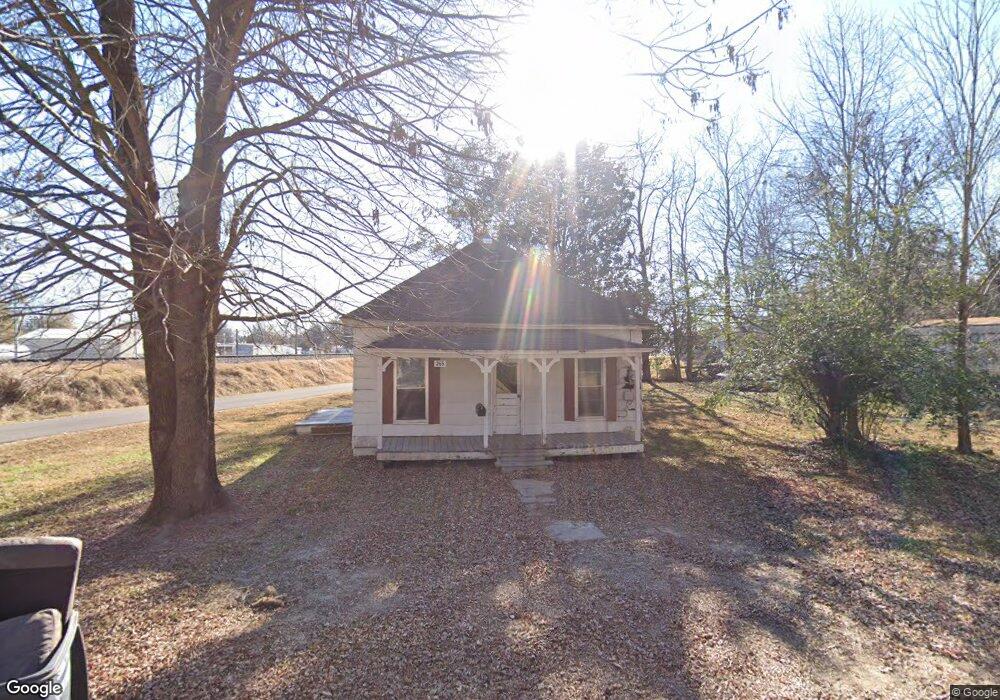
265 E Chief St Piggott, AR 72454
Estimated Value: $44,592 - $75,000
Studio
1
Bath
844
Sq Ft
$70/Sq Ft
Est. Value
About This Home
This home is located at 265 E Chief St, Piggott, AR 72454 and is currently estimated at $58,898, approximately $69 per square foot. 265 E Chief St is a home located in Clay County with nearby schools including Piggott Elementary School and Piggott High School.
Ownership History
Date
Name
Owned For
Owner Type
Purchase Details
Closed on
Jul 29, 2013
Sold by
Dean Bobby
Bought by
Friederich Crystal
Current Estimated Value
Purchase Details
Closed on
Jul 10, 2013
Sold by
Frazier Ronald and Frazier Marilyn
Bought by
Dean Bobby
Purchase Details
Closed on
Aug 20, 2007
Sold by
Lewis Jerry L and Lewis Janett L
Bought by
Dean Bobby
Purchase Details
Closed on
Apr 13, 2006
Bought by
Lewis
Purchase Details
Closed on
Jul 8, 1999
Bought by
Wiley
Purchase Details
Closed on
Sep 29, 1994
Bought by
Smith
Create a Home Valuation Report for This Property
The Home Valuation Report is an in-depth analysis detailing your home's value as well as a comparison with similar homes in the area
Home Values in the Area
Average Home Value in this Area
Purchase History
| Date | Buyer | Sale Price | Title Company |
|---|---|---|---|
| Friederich Crystal | -- | -- | |
| Dean Bobby | -- | -- | |
| Dean Bobby | -- | -- | |
| Lewis | $13,000 | -- | |
| Wiley | $3,000 | -- | |
| Smith | $7,000 | -- |
Source: Public Records
Tax History
| Year | Tax Paid | Tax Assessment Tax Assessment Total Assessment is a certain percentage of the fair market value that is determined by local assessors to be the total taxable value of land and additions on the property. | Land | Improvement |
|---|---|---|---|---|
| 2025 | $174 | $4,560 | $1,000 | $3,560 |
| 2024 | $174 | $4,560 | $1,000 | $3,560 |
| 2023 | $159 | $4,560 | $1,000 | $3,560 |
| 2022 | $145 | $2,870 | $820 | $2,050 |
| 2021 | $145 | $2,870 | $820 | $2,050 |
| 2020 | $145 | $2,870 | $820 | $2,050 |
| 2019 | $145 | $2,870 | $820 | $2,050 |
| 2018 | $145 | $2,870 | $820 | $2,050 |
| 2017 | $236 | $4,680 | $1,280 | $3,400 |
| 2016 | -- | $4,680 | $1,280 | $3,400 |
| 2015 | -- | $4,680 | $1,280 | $3,400 |
| 2014 | -- | $4,680 | $1,280 | $3,400 |
| 2013 | -- | $4,680 | $1,280 | $3,400 |
Source: Public Records
Map
Nearby Homes
- 756 N Royal Ave
- 792 N Royal Ave
- 489 N Taylor Ave
- 489 N Taylor Ave
- 327 W Orr St
- 865 N 2nd Ave
- 0 N Taylor Ave
- 0 N Garfield Ave
- 594 N 5th Ave
- 645 E Jackson St
- 728 N 5th Ave
- 491 W Main St
- 792 E Miller St
- 0 Clay St Unit Hughes Lake
- 323 Lamb Dr
- 808 E Jackson St
- .15 acre E Orr St
- 0 N Johnson Ave
- 885 E Orr St
- 305 N 8th Ave
- 280 E Chief St
- 585 N Royal Ave
- 236 E Chief St
- 561 N Royal Ave
- 506 N Thornton Ave
- 615 N Royal Ave
- 517 A Royal Rd
- 655 N Royal Ave
- 517 N Royal Ave
- 510 N Thornton Ave
- 614 N Royal Ave
- 520 N Thornton Ave
- 534 N Royal Ave
- 675 N Royal Ave
- 510 N Royal Ave
- 664 N Royal Ave
- 525 N Thornton Ave
- 544 N Thornton Ave
- 476 N Front Ave
- 448 N Front Ave
Your Personal Tour Guide
Ask me questions while you tour the home.