Estimated Value: $319,154 - $362,000
3
Beds
1
Bath
1,386
Sq Ft
$248/Sq Ft
Est. Value
About This Home
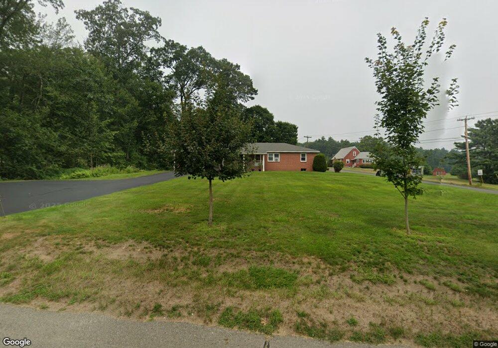
This home is located at 265 Palmer Rd, Ware, MA 01082 and is currently estimated at $344,289, approximately $248 per square foot. 265 Palmer Rd is a home located in Hampshire County with nearby schools including Stanley M. Koziol Elementary School, Ware Middle School, and Ware Junior/Senior High School.
Ownership History
Date
Name
Owned For
Owner Type
Purchase Details
Closed on
Nov 24, 2008
Sold by
James Swindlehurst and Swindlehurst Jessica
Bought by
Swindlehurst Kris
Current Estimated Value
Purchase Details
Closed on
Nov 28, 2000
Sold by
Desantis Frank J and Parker Rose Marie
Bought by
Swindlehurst J James L and Swindlehurst Lois M
Purchase Details
Closed on
Feb 20, 1996
Sold by
Desantis Jeannette M and Desantis Mary Ann
Bought by
Desantis Frank J and Parker Rose Marie
Create a Home Valuation Report for This Property
The Home Valuation Report is an in-depth analysis detailing your home's value as well as a comparison with similar homes in the area
Home Values in the Area
Average Home Value in this Area
Purchase History
| Date | Buyer | Sale Price | Title Company |
|---|---|---|---|
| Swindlehurst Kris | -- | -- | |
| Swindlehurst J James L | $138,000 | -- | |
| Desantis Frank J | $99,000 | -- |
Source: Public Records
Tax History
| Year | Tax Paid | Tax Assessment Tax Assessment Total Assessment is a certain percentage of the fair market value that is determined by local assessors to be the total taxable value of land and additions on the property. | Land | Improvement |
|---|---|---|---|---|
| 2025 | $4,039 | $268,200 | $45,300 | $222,900 |
| 2024 | $3,864 | $236,600 | $42,800 | $193,800 |
| 2023 | $3,887 | $225,200 | $41,200 | $184,000 |
| 2022 | $3,816 | $197,300 | $38,100 | $159,200 |
| 2021 | $3,679 | $182,300 | $38,100 | $144,200 |
| 2020 | $3,581 | $173,600 | $38,100 | $135,500 |
| 2019 | $3,508 | $173,600 | $38,100 | $135,500 |
| 2018 | $3,394 | $163,900 | $37,100 | $126,800 |
| 2017 | $3,136 | $151,000 | $37,100 | $113,900 |
| 2016 | $3,052 | $151,000 | $37,100 | $113,900 |
| 2015 | $2,967 | $151,000 | $37,100 | $113,900 |
| 2014 | $2,922 | $159,600 | $37,700 | $121,900 |
Source: Public Records
Map
Nearby Homes
- 310 Palmer Rd
- 201 West St
- LOT 3 Monson Turnpike Rd
- 201 Belchertown Rd
- 24 Clinton St
- 87 W Main St
- 30 Warebrook Village
- 23 West St Unit 25
- 7 Webb Ct
- 375 Belchertown Rd
- 60 Quaboag Valley Co Op St
- 44 South St
- 67 Babcock Tavern Rd
- Lot 16 Coldbrook Dr
- Lot 20 Coldbrook Dr
- Lot 22 Coldbrook Dr
- Lot 13 Coldbrook Dr
- Lot 25 Coldbrook Dr
- 48 North St Unit 1
- 79 Pleasant St
Your Personal Tour Guide
Ask me questions while you tour the home.